Akutan Hot Springs
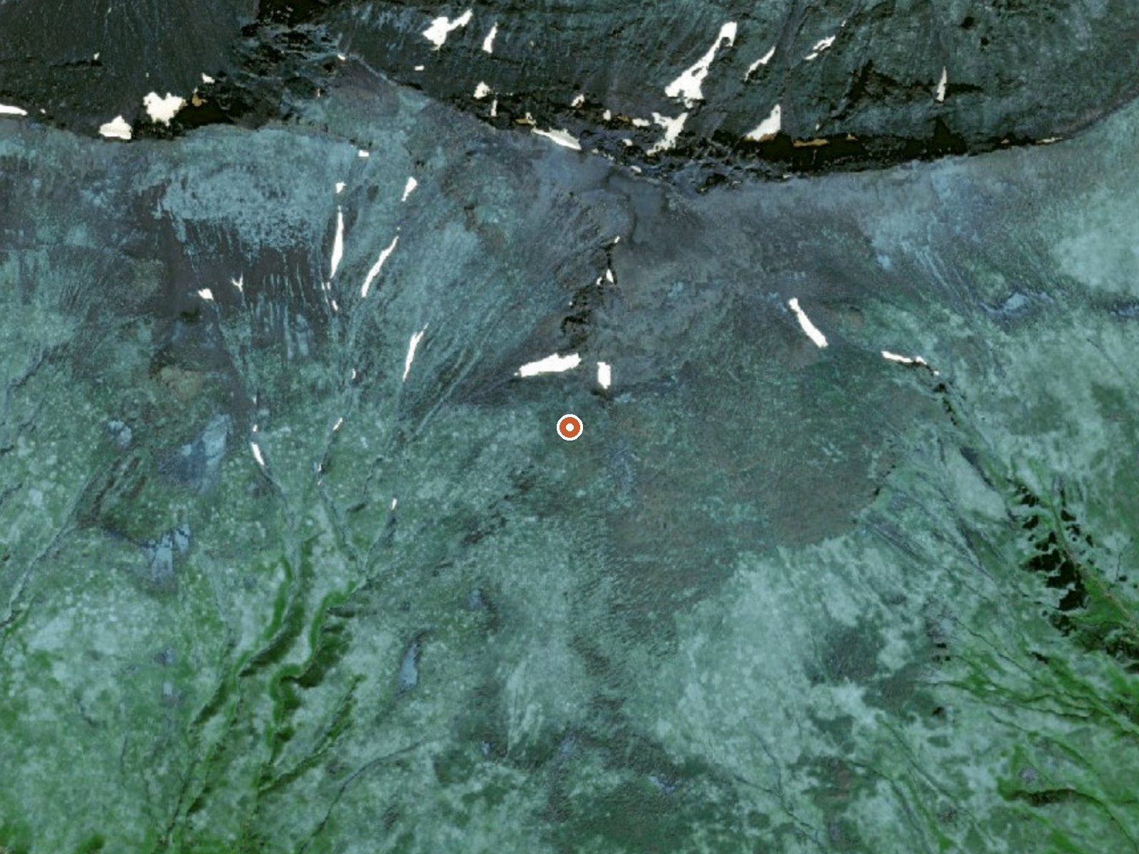
The orange dot marks the spring, in a frame about three quarters of a mile wide.
Akutan Hot Springs is a geothermal area on Akutan Island, with many vents spread across it and the village of Akutan about six miles away. The borough is Aleutians East. No one has logged a measured temperature for the site, and there is nothing on record about public access. That makes it a place to read about first. Nobody can say from this listing if the water can be entered anywhere.
The springs lie in high ground for an island, with the nearest road ending about four miles short of them, so the last stretch is on foot over whatever the terrain gives you. The climate is cold and damp through the year, with an annual average in the mid thirties. Winter snowfall is moderate by Alaska standards. Rain falls in most months.
No best-months window is recorded, and nothing in the climate data singles out a season. Count on a hike of roughly four miles from where the road stops. Temperature and access are both blank, so ask in Akutan before going and do not assume the water is safe to get into. Wikipedia mentions a geyser among the springs.
Wikipedia describes Akutan Hot Springs as a system of several dozen thermal springs and a geyser, all part of the Akutan geothermal area on Akutan Island.
USGS hasn't flown a detailed laser scan here yet, so this view comes from aerial photos and older elevation data.
- Setting
- Hillside
- The spring sits on a steep slope that climbs to the north.
- Highest ground nearby
- 330 ft above the spring
- Within a quarter mile, to the north
A slice through the ground from southwest to northeast, about 0.6 miles end to end.
Elevation data: USGS 3D Elevation Program. Aerial imagery: USGS The National Map. Public domain.
Some links are affiliate links. We may earn a commission at no extra cost to you.
Akutan Hot Springs is road-accessible, so you can bring more gear. Cold air temperatures make a changing robe or warm layers essential.






As an Amazon Associate, we earn from qualifying purchases.