Hot Creek (Mono County)
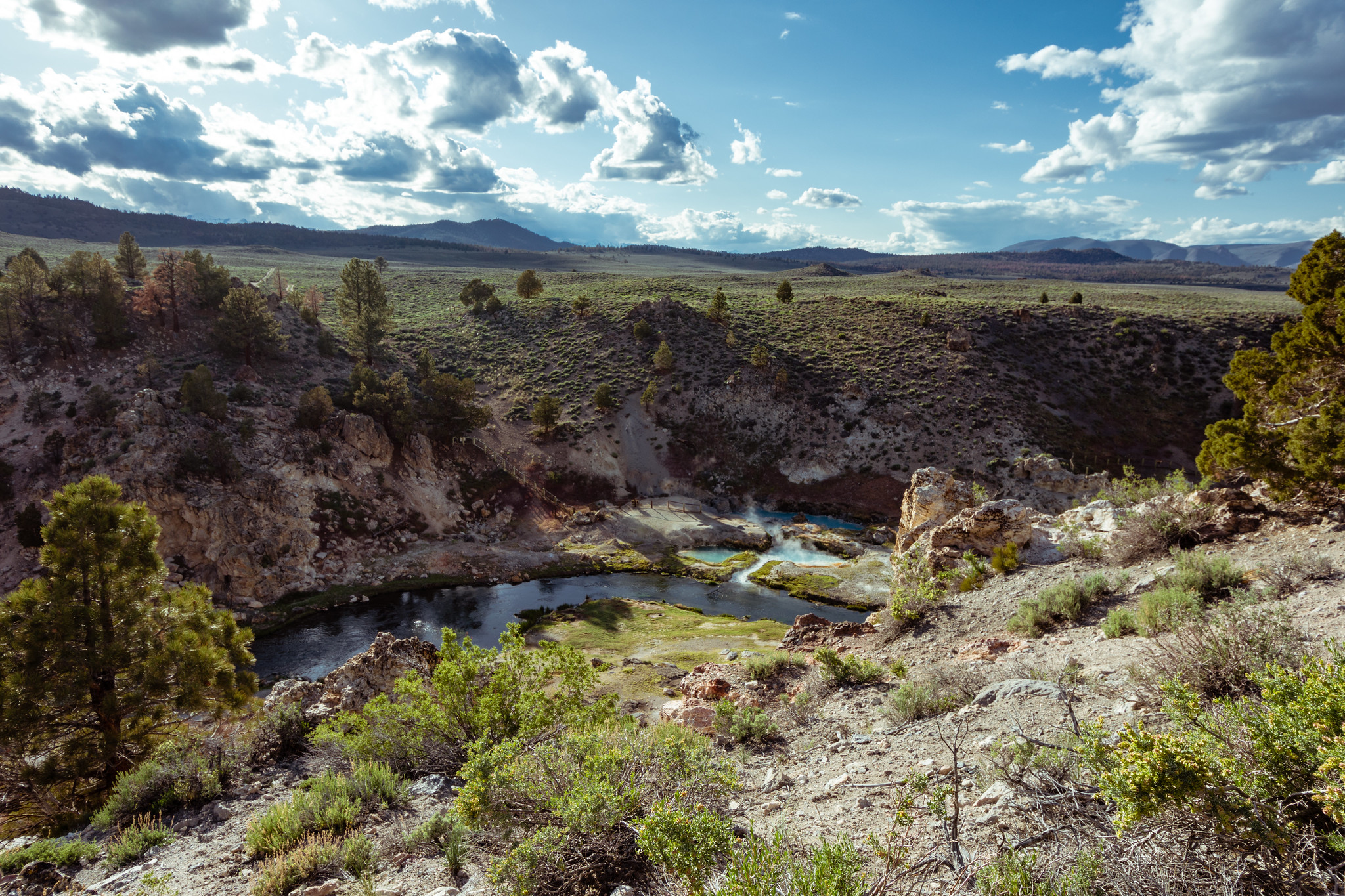
Hot Creek in Mono County is a stream, and this entry marks a thermal point along it that the USGS keeps on file. Wikipedia describes the creek as starting out under the name Mammoth Creek and running through the Inyo National Forest. At this particular point the ground is Los Angeles Water and Power property. No temperature was ever recorded here, so nothing on this page should be read as a place to soak. Mammoth Lakes is about a dozen miles off.
It's a short walk in, a fifth of a mile or so, and the road it starts from has no name on record. The land belongs to a city water department, and access is listed as open. Winters at this corner of Mono County are snowy while the year overall stays dry. Flow is tiny. USGS put the discharge at one hundredth of a cubic foot each second, which makes it a seep.
No best months appear on file for this one. The nearest place to camp on record is Convict Lake Campground, roughly eight miles away. The water chemistry comes from a sample drawn in 1973, so treat those figures as historical. Without a temperature on record there is no way to say what the water feels like, and the LADWP access listing is worth confirming before you count on it.
Hot Creek begins as Mammoth Creek, according to Wikipedia, and flows through the Inyo National Forest in eastern California. The USGS lists this point as a monitored site.
Aircraft with laser scanners measured this ground to within inches. The scan strips out trees and buildings, leaving the bare shape of the land around Hot Creek (Mono County).
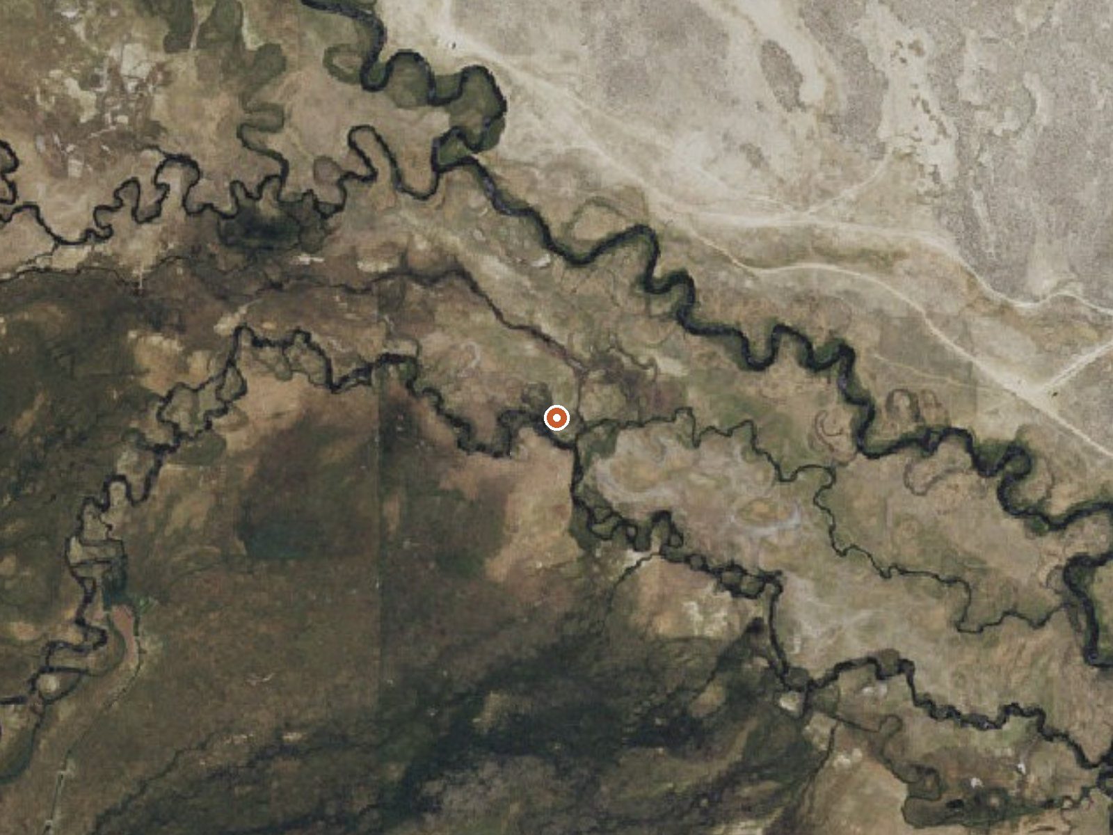
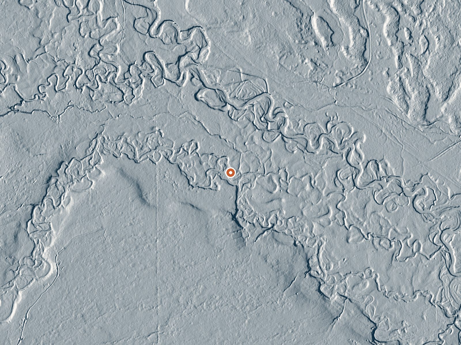
Drag the handle to compare the two views. The orange dot marks the spring, in a frame about three quarters of a mile wide.
- Setting
- Open ground
- Flat, open ground all around.
- Highest ground nearby
- 13 ft above the spring
- Within a quarter mile, to the west
A slice through the ground from southwest to northeast, about 0.6 miles end to end.
Elevation data: USGS 3D Elevation Program. Aerial imagery: USGS The National Map. Public domain.
That's about twice the US average of 65. It's higher than at 78% of the springs on this site.
Heat flow measures the warmth working its way up through the ground from deep inside the earth. Where it runs high, rain and snowmelt that seep down through cracks in the rock come back up hot.
See every spring on the geothermal heat map →
Heat flow estimate: Stanford Thermal Earth Model (Aljubran & Horne, 2024), CC BY 4.0.
The water at Hot Creek (Mono County) is slightly alkaline (pH 7.7). It is notably rich in sodium (supports circulation and skin hydration) and chloride (natural antiseptic with skin health benefits).
Some links are affiliate links. We may earn a commission at no extra cost to you.
Overview Convict Lake Campground is situated near Convict Lake amidst the beautiful scenery of the Sierra Nevada Mountains. The lake and surrounding national forest provide many opportunities for family fun, outdoor recreation and relaxation. The campground and nearby resort offer many amenities for a convenient and enjoyable camping experience. The facility is located between Mammoth Lakes and Bishop, California, near Mammoth Airport.Recreation The eastern Sierra Nevada Mountains are known...
Hot Creek (Mono County) is road-accessible, so you can bring more gear.






As an Amazon Associate, we earn from qualifying purchases.
Springs Near Hot Creek (Mono County)
Slightly Alkaline Springs (pH ~7.7)
Hike 6 waterfalls near Hot Creek (Mono County)
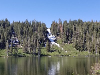
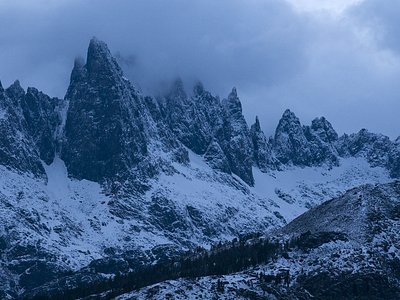
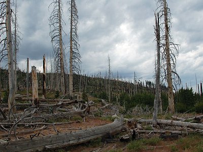
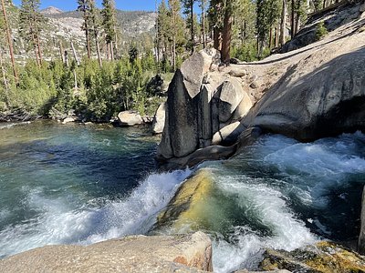
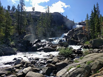
Looking for more outdoor adventures? Explore waterfall hikes near Hot Creek (Mono County), California.