Hot Spring
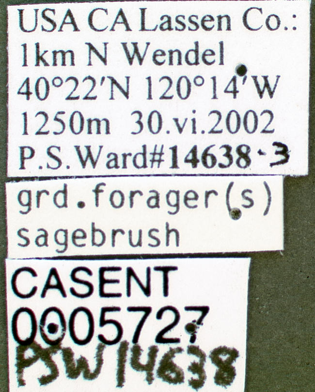
An unnamed hot spring in Lassen County, about fourteen miles from Janesville, running hotter than boiling water at sea level according to the record. Nobody soaks in water this hot. The land has no owner of record and no public access status, so what you have is a scalding source on ground of unknown ownership.
A few hundred yards of walking, starting from a road that carries no name in the record. Four thousand feet, on the dry eastern side of California. Winters are moderate. Snow stays under three feet and precipitation runs around fifteen inches. The nearest camping listed, Black Mountain Lookout, is nearly eighteen miles out.
The record favors December through February. Stay back from the water. At this temperature skin scalds at a touch. Ownership is blank on file, so treat access as unconfirmed. A photo exists. No chemistry or flow data was ever taken here as far as the record shows.
Aircraft with laser scanners measured this ground to within inches. The scan strips out trees and buildings, leaving the bare shape of the land around Hot Spring.
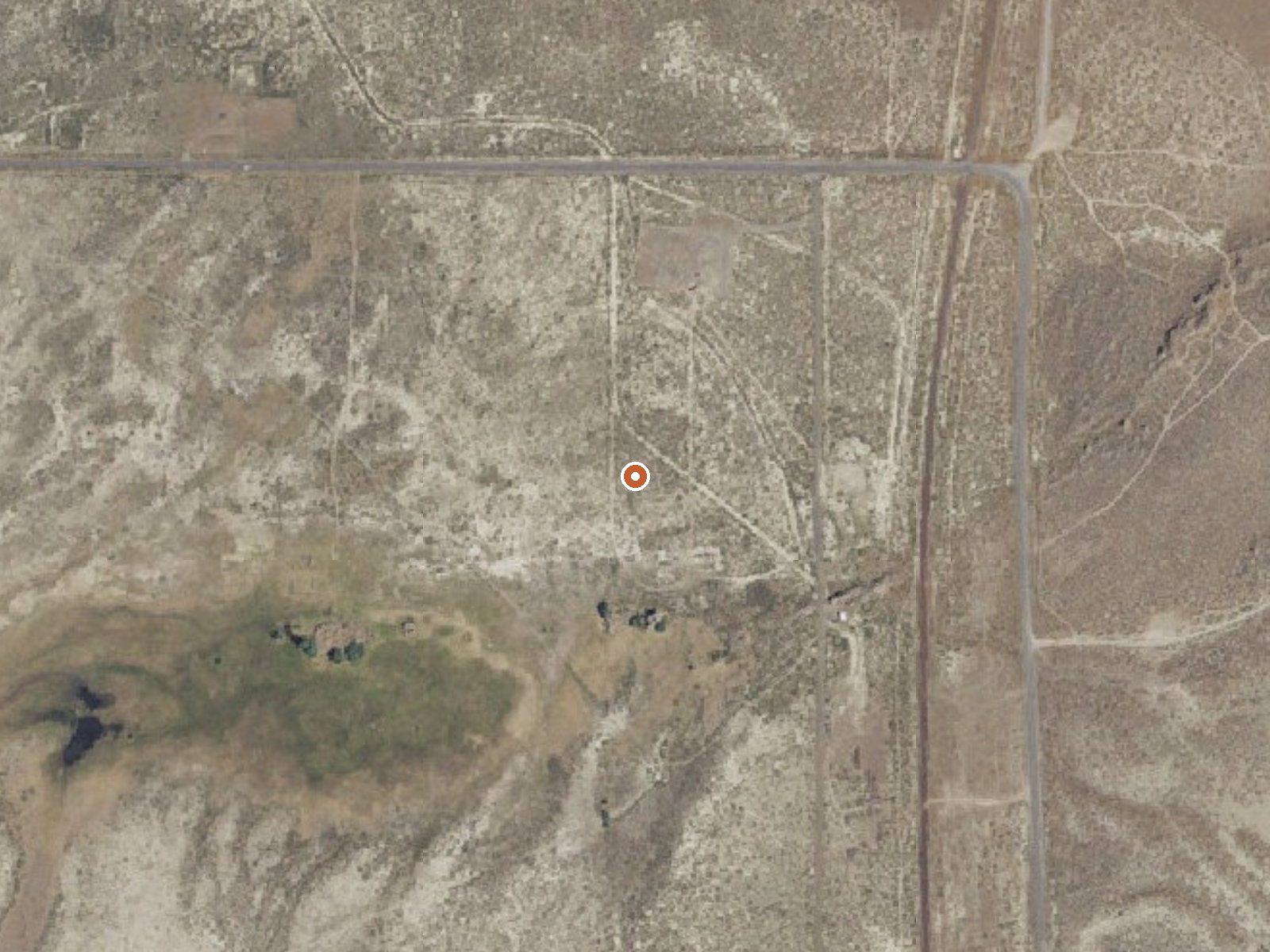
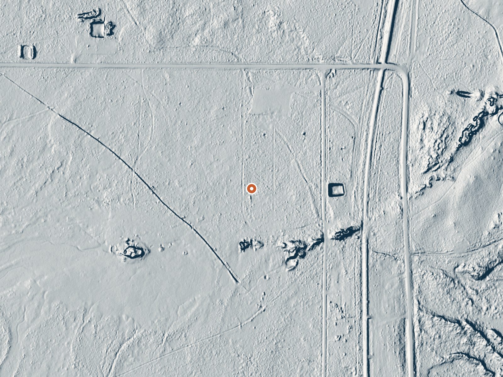
Drag the handle to compare the two views. The orange dot marks the spring, in a frame about three quarters of a mile wide.
- Setting
- Open ground
- Flat, open ground all around.
- Highest ground nearby
- 18 ft above the spring
- Within a quarter mile, to the east
A slice through the ground from southwest to northeast, about 0.6 miles end to end.
Elevation data: USGS 3D Elevation Program. Aerial imagery: USGS The National Map. Public domain.
That's close to the US average of 65. It's higher than at 17% of the springs on this site.
Heat flow measures the warmth working its way up through the ground from deep inside the earth. Where it runs high, rain and snowmelt that seep down through cracks in the rock come back up hot.
See every spring on the geothermal heat map →
Heat flow estimate: Stanford Thermal Earth Model (Aljubran & Horne, 2024), CC BY 4.0.
Some links are affiliate links. We may earn a commission at no extra cost to you.
Overview Black Mountain Lookout remained closed for the 2020 season and is expected to remain closed into 2021. Closure is due to COVID related demands in maintaining a safe environment for our customers and our staff. Black Mountain Lookout is located on the eastern edge of the Beckwourth Ranger District, 10 miles from Highway 395, near Milford, California. The lookout was constructed in 1934 and is a great example of Civilian Conservation Corps (CCC) architecture. The C-3-type lookout is si...
Hot Spring is road-accessible, so you can bring more gear. The water is dangerously hot, so bring water shoes and test pools carefully.





As an Amazon Associate, we earn from qualifying purchases.
Springs Near Hot Spring
More Springs Around 204°F
Hike 1 waterfall near Hot Spring
Looking for more outdoor adventures? Explore waterfall hikes near Hot Spring, California.