Mercey Hot Springs
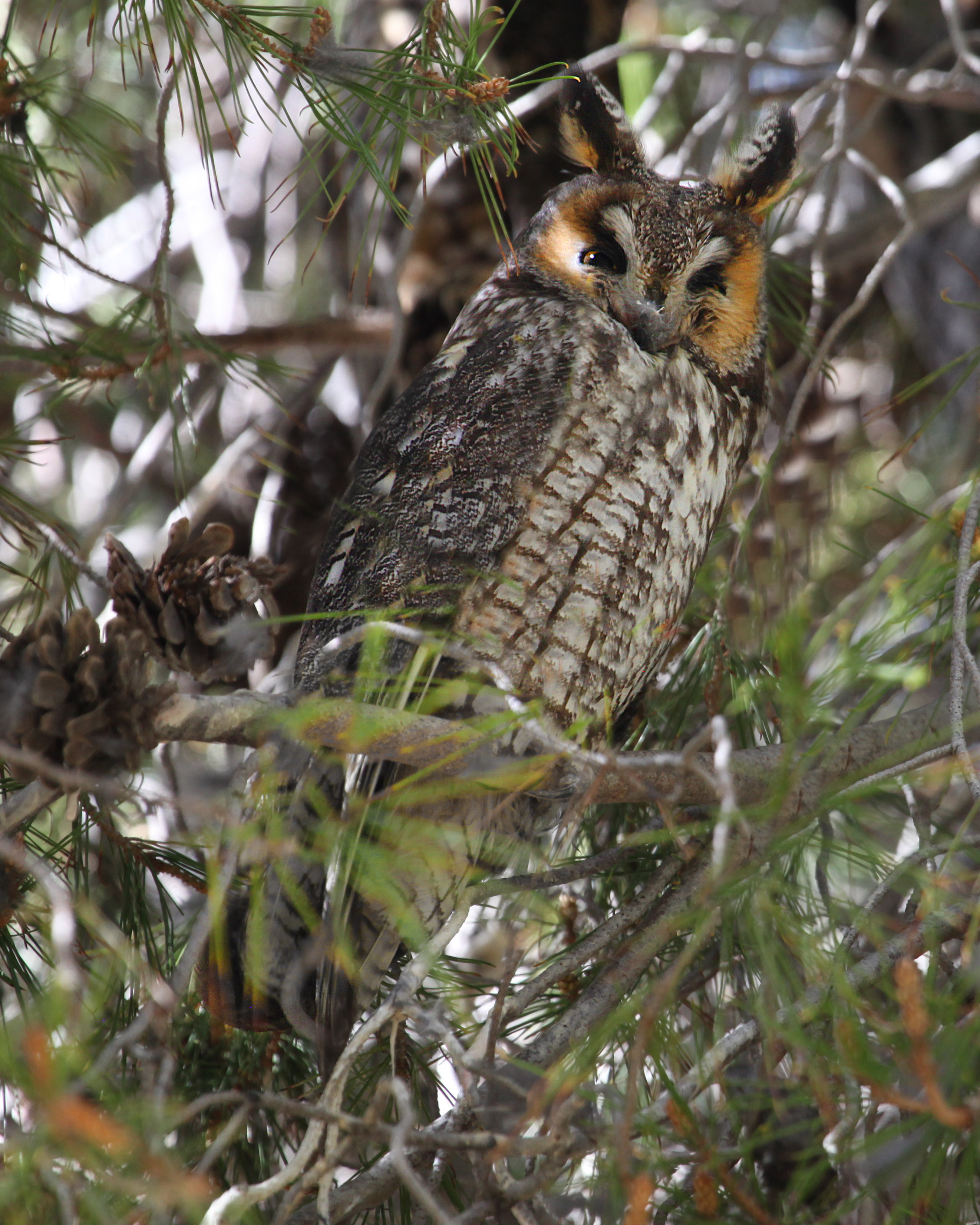
Mercey Hot Springs is a historic resort in the Little Panoche Valley, out in the dry hills west of the San Joaquin floor and more than twenty miles from South Dos Palos. The water comes up hot, hot enough that you would want it cooled before sitting in it. The record lists Merced County for the spring; Wikipedia places the community in Fresno County.
Roadside, a couple hundred feet off an unnamed road. Low valley floor, around twelve hundred feet. Dry country too; a normal year brings about ten inches of rain, and snow hardly ever shows up. Nobody has recorded who owns the ground, though Wikipedia calls the place a resort, which makes it a commercial operation. Public access is not listed either.
Winter, December into February, is the stretch the record marks as best. Cool-season visits are the comfortable ones for water this hot. The water exceeds 110 degrees at the source. Test before you get in. Camping is not close. Pinnacles Campground, the nearest on file, is about 24 miles off. The fee itself is not on record.
Wikipedia lists Mercey Hot Springs, once spelled Mercy, as an unincorporated community and historical hot springs resort in the Little Panoche Valley, about 60 miles west-southwest of Fresno.
Aircraft with laser scanners measured this ground to within inches. The scan strips out trees and buildings, leaving the bare shape of the land around Mercey Hot Springs.
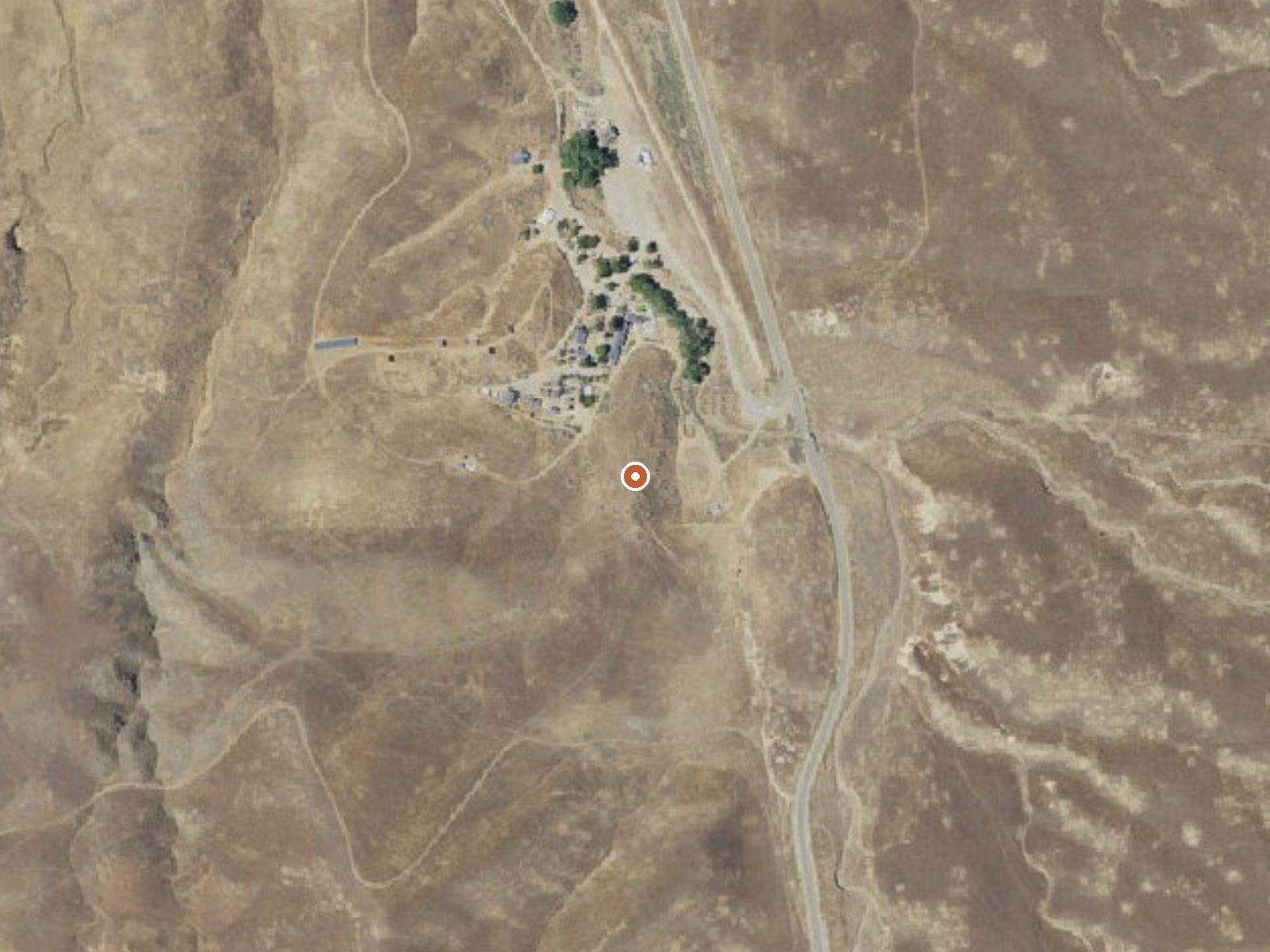
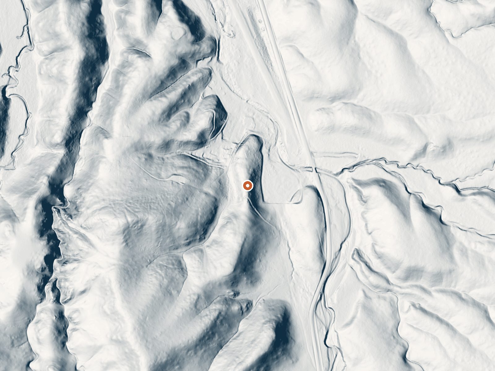
Drag the handle to compare the two views. The orange dot marks the spring, in a frame about three quarters of a mile wide.
- Setting
- Gentle slope
- The ground tilts gently up to the southwest.
- Highest ground nearby
- 125 ft above the spring
- Within a quarter mile, to the southwest
A slice through the ground from south to north, about 0.6 miles end to end.
Elevation data: USGS 3D Elevation Program. Aerial imagery: USGS The National Map. Public domain.
That's about 1½ times the US average of 65. It's higher than at 26% of the springs on this site.
Heat flow measures the warmth working its way up through the ground from deep inside the earth. Where it runs high, rain and snowmelt that seep down through cracks in the rock come back up hot.
See every spring on the geothermal heat map →
Heat flow estimate: Stanford Thermal Earth Model (Aljubran & Horne, 2024), CC BY 4.0.
Some links are affiliate links. We may earn a commission at no extra cost to you.
Overview Pinnacles Campground is located in the unique Pinnacles National Park, 32 miles south of Hollister, California. The park encompasses 26,000 acres of spectacular rock formations and remnants of an extinct 23 million-year old volcano. Hiking and rock climbing are very popular activities in Pinnacles, as is watching for the majestic California condor overhead. Pinnacles National Park is a nesting place for the endangered soaring bird, the largest in North America.Recreation Pinnacles N...
Mercey Hot Springs is road-accessible, so you can bring more gear. The water runs hot, so extra hydration is key.




As an Amazon Associate, we earn from qualifying purchases.