Mud Volcanoes
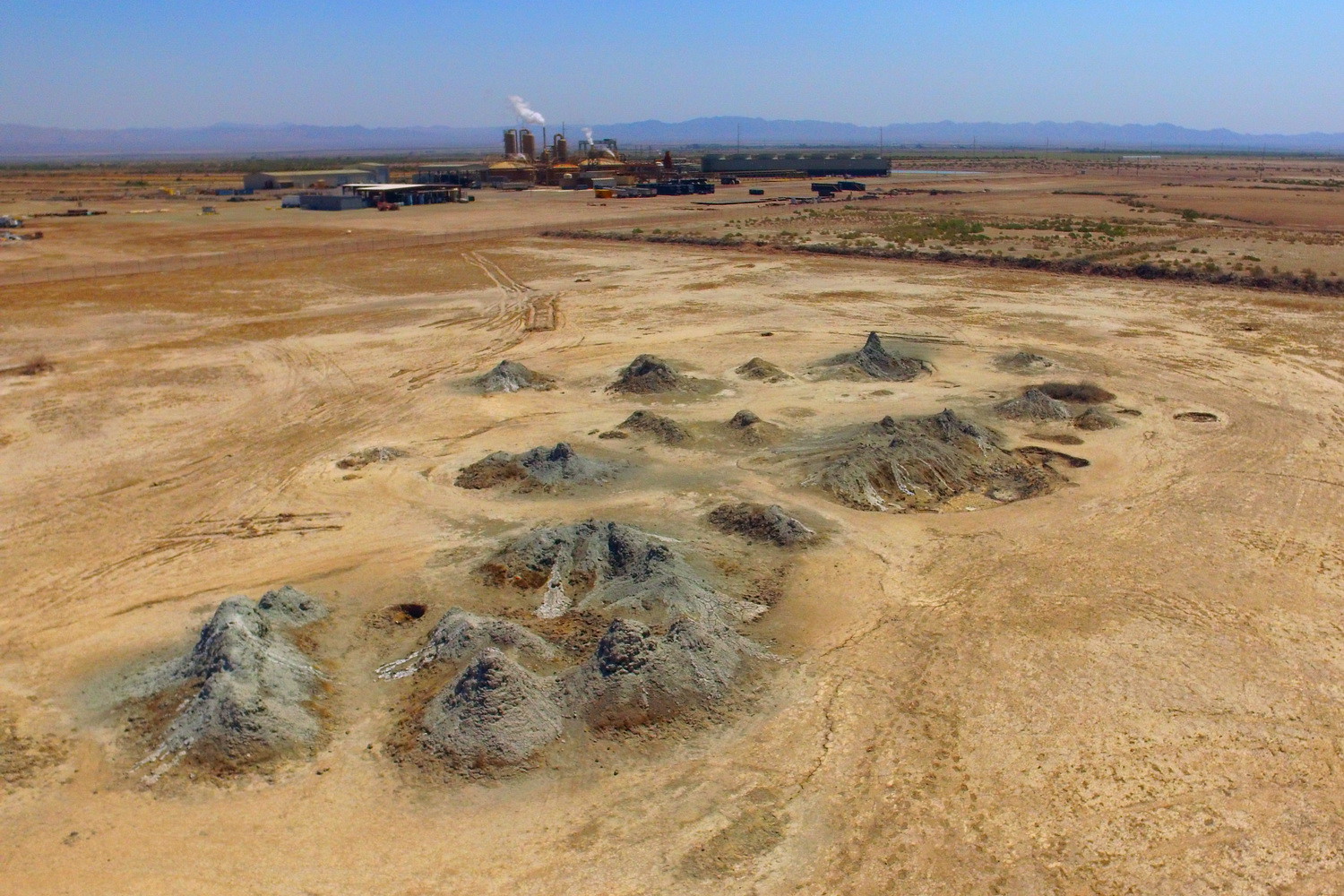
A Mud Volcanoes record on California State Lands Commission ground about eight miles from Niland, with open public access on file. It sits at about sea level, a touch higher than the rest of the cluster. The temperature is unmeasured; warm is all the record says. No campground is close.
Half a mile's walk from Coachella Canal Road. The designation on file is SRMA, on land held by the state. Desert climate, hardly any rain and summers that run very hot.
Access is open. The nearest camping listed is Corn Springs, roughly 24 miles away. No fee, no best months. Go in the cool half of the year.
Aircraft with laser scanners measured this ground to within inches. The scan strips out trees and buildings, leaving the bare shape of the land around Mud Volcanoes.
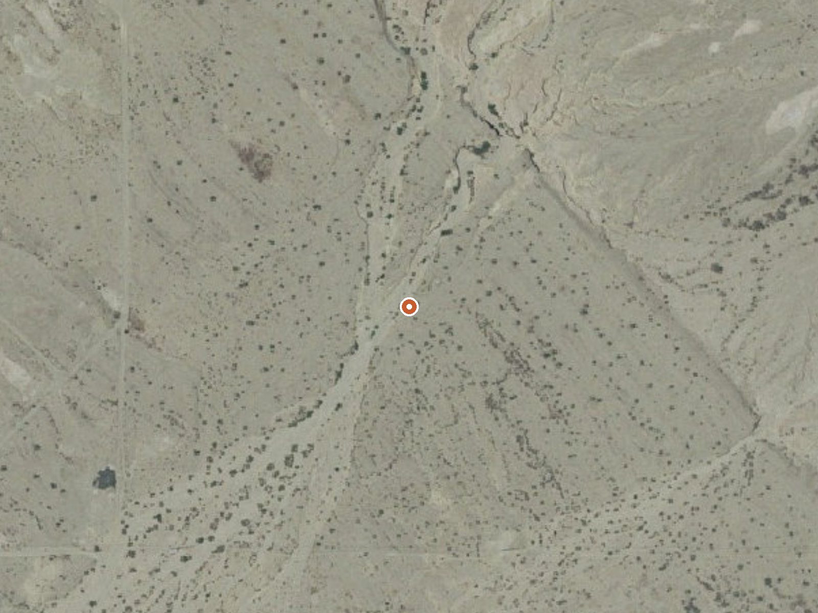
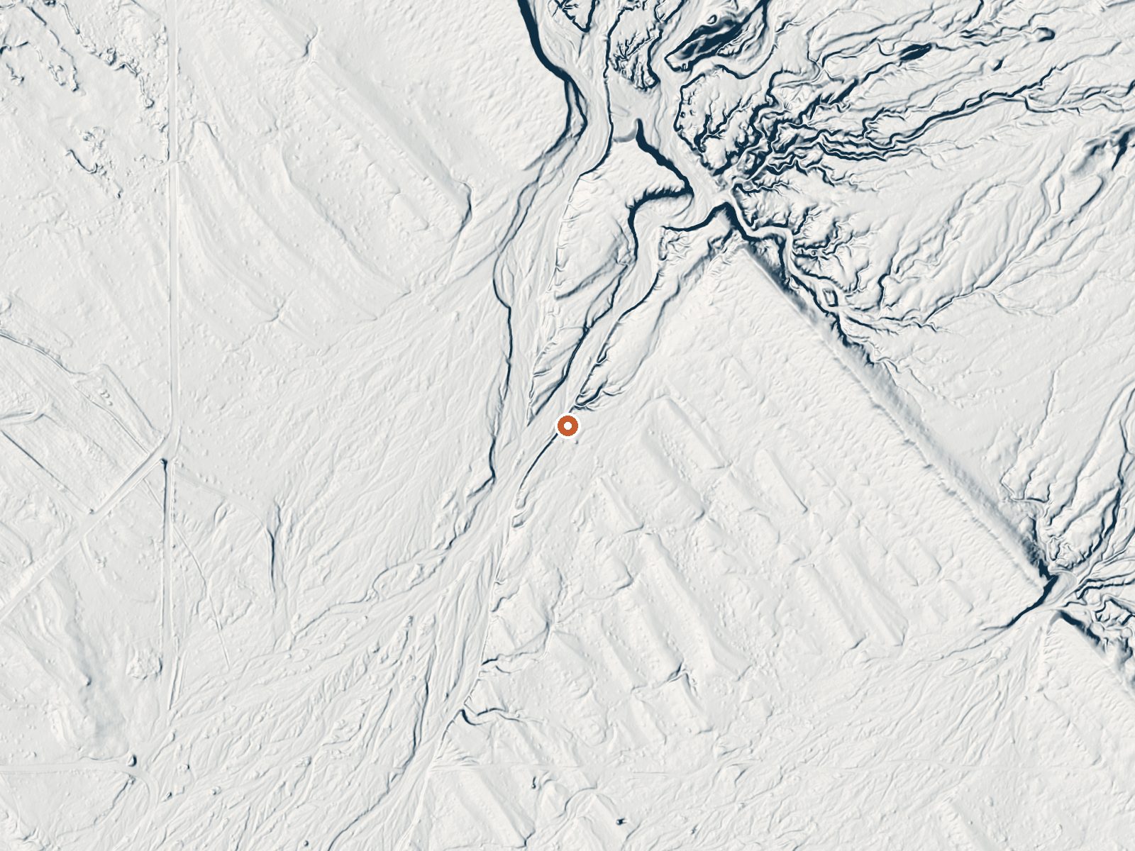
Drag the handle to compare the two views. The orange dot marks the spring, in a frame about three quarters of a mile wide.
- Setting
- Open ground
- Flat, open ground all around.
- Highest ground nearby
- 48 ft above the spring
- Within a quarter mile, to the east
A slice through the ground from west to east, about 0.6 miles end to end.
Elevation data: USGS 3D Elevation Program. Aerial imagery: USGS The National Map. Public domain.
That's about twice the US average of 65. It's higher than at 89% of the springs on this site.
Heat flow measures the warmth working its way up through the ground from deep inside the earth. Where it runs high, rain and snowmelt that seep down through cracks in the rock come back up hot.
See every spring on the geothermal heat map →
Heat flow estimate: Stanford Thermal Earth Model (Aljubran & Horne, 2024), CC BY 4.0.
Some links are affiliate links. We may earn a commission at no extra cost to you.
The Corn Springs Campground is located deep in a canyon of the Chuckwalla Mountains and has a $6.00 per night camping fee. Situated adjacent to a stand of California fan palms. This oasis supports abundant wildlife and is an important stopping place for migratory birds. Wheelchair accessible. Corn Springs was a major occupation site of prehistoric Native American Indian groups. The petroglyphs at Corn Springs are one of the finest examples of rock art in the Colorado Desert. They displ...
Mud Volcanoes is road-accessible, so you can bring more gear. Bring sun protection for exposed soaking.




As an Amazon Associate, we earn from qualifying purchases.