Atlanta Hot Springs
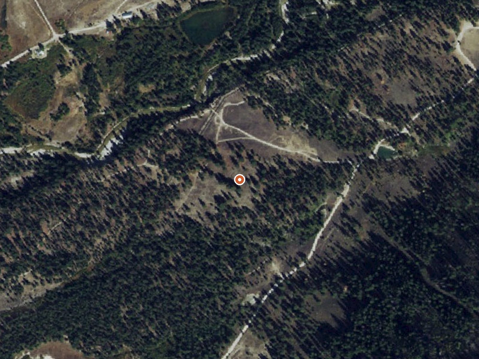
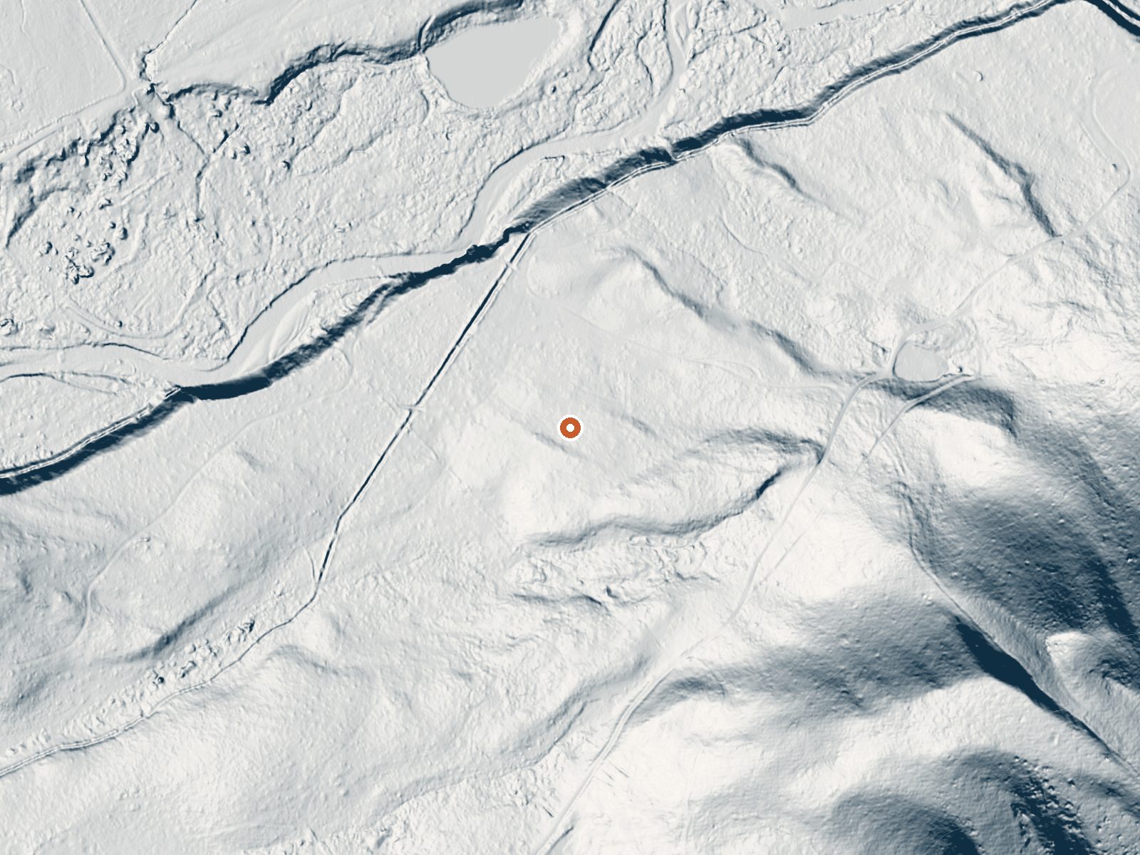
Drag the handle to compare the two views. The orange dot marks the spring, in a frame about three quarters of a mile wide.
Atlanta Hot Springs is a roadside hot spring in Camas County, Idaho, far from anything, with Fairfield the nearest town at thirty-five miles or so. The water on file sits right at the top of the hot range, a hair short of what we call scalding. Do not put your hand straight in. Atlanta Cabin is the listed camping, under a mile away. Nobody has filled in owner or access.
This is deep-snow country. The winter total on record runs close to fifteen feet, and precipitation overall is generous. Elevation is mid-mountain, a bit over five thousand feet. The road is under three hundred feet off. A 1981 sample shows low dissolved solids. No land unit is named.
Our climate ranking puts the winter months first, which at this snowfall means reaching a roadside spring may come down to a very long road. Check road status in winter. Atlanta Cabin is the place to stay on record. Skin burns at this temperature. Test it with a foot, slowly. Mix in cooler water if the site lets you. Access is unverified.
Aircraft with laser scanners measured this ground to within inches. The scan strips out trees and buildings, leaving the bare shape of the land around Atlanta Hot Springs.
- Setting
- Gentle slope
- The ground tilts gently up to the southeast.
- Highest ground nearby
- 224 ft above the spring
- Within a quarter mile, to the southeast
A slice through the ground from northwest to southeast, about 0.6 miles end to end.
Elevation data: USGS 3D Elevation Program. Aerial imagery: USGS The National Map. Public domain.
That's about 2½ times the US average of 65. It's higher than at 95% of the springs on this site.
Heat flow measures the warmth working its way up through the ground from deep inside the earth. Where it runs high, rain and snowmelt that seep down through cracks in the rock come back up hot.
See every spring on the geothermal heat map →
Heat flow estimate: Stanford Thermal Earth Model (Aljubran & Horne, 2024), CC BY 4.0.
The water at Atlanta Hot Springs contains 235 mg/L total dissolved solids.
Some links are affiliate links. We may earn a commission at no extra cost to you.
Overview Atlanta Cabin is located in the old mining town of Atlanta, Idaho, at an elevation of 5,800 feet. It is part of a historic ranger station compound built by the Civilian Conservation Corps and the Forest Service in 1933. This compound, known as the Atlanta Ranger Station Historic District, is listed on the National Register of Historic Places.The roads to the cabin are generally well-maintained, although there are some rough washboard sections. Guests can drive to the cabin, but shoul...
Atlanta Hot Springs sits at 5,430 feet above sea level, way above the mile-high mark. You may not feel the altitude strongly, but hot water still dehydrates you faster at elevation. UV is about 22% stronger than at sea level, so bring sunscreen and drink more water than you normally would.



As an Amazon Associate, we earn from qualifying purchases.
Atlanta Hot Springs is road-accessible, so you can bring more gear. The water runs hot, so extra hydration is key. Cold air temperatures make a changing robe or warm layers essential.





As an Amazon Associate, we earn from qualifying purchases.
Springs Near Atlanta Hot Springs
More Springs Around 140°F
Hike 6 waterfalls near Atlanta Hot Springs
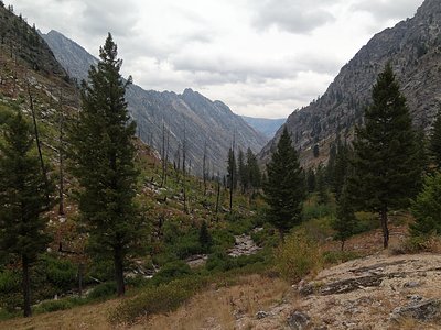
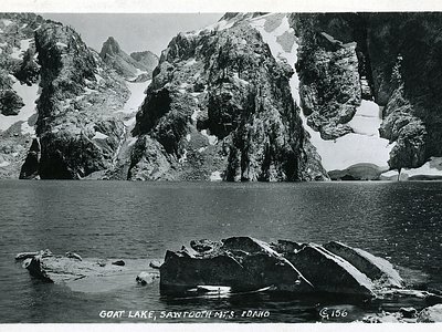
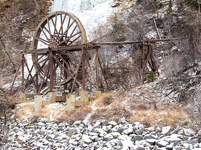
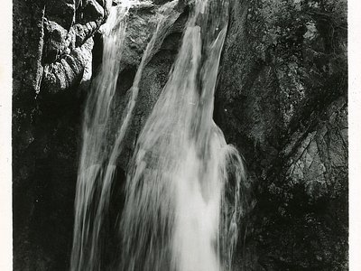
Looking for more outdoor adventures? Explore waterfall hikes near Atlanta Hot Springs, Idaho.