South Fork Plunge
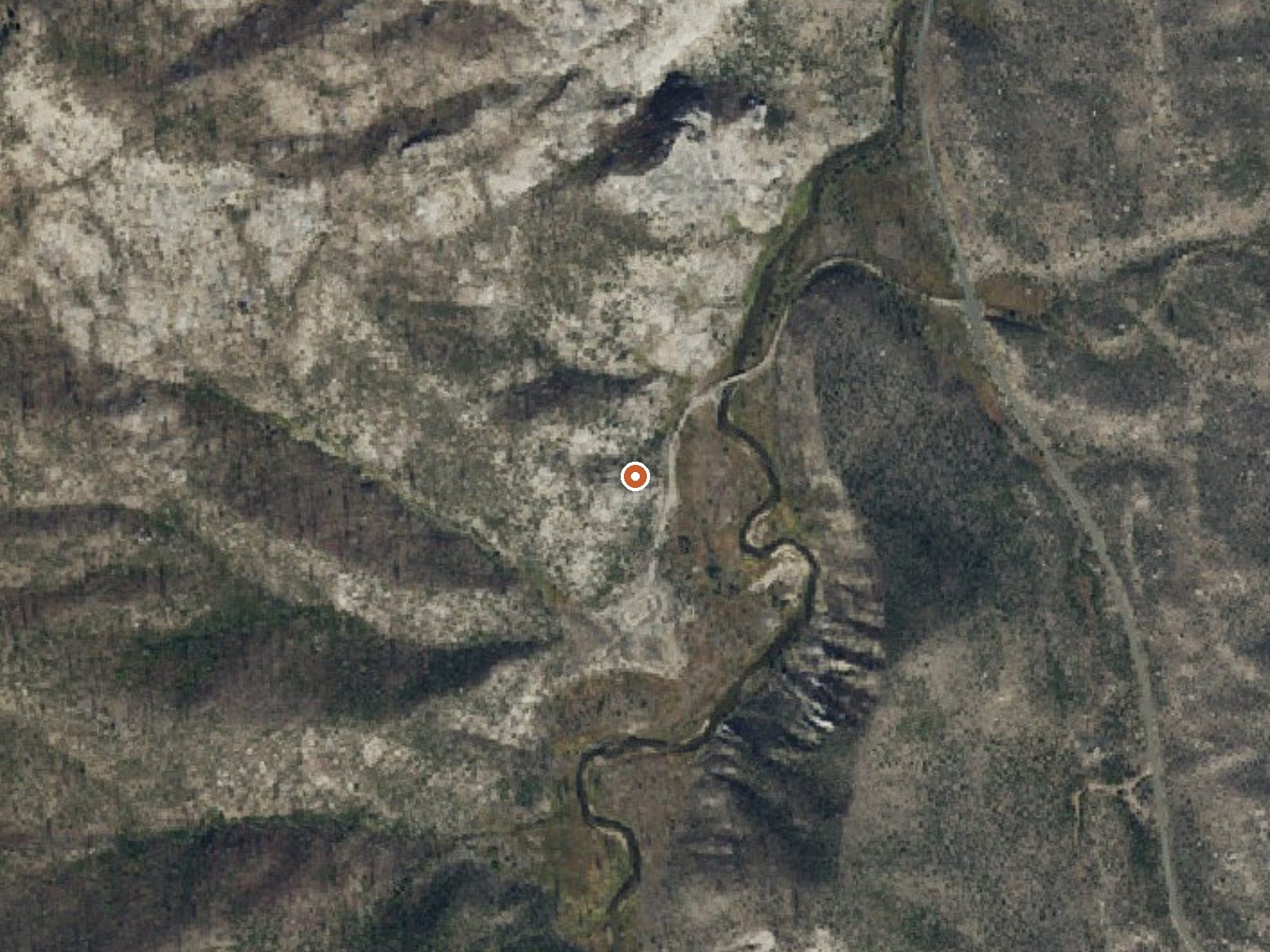
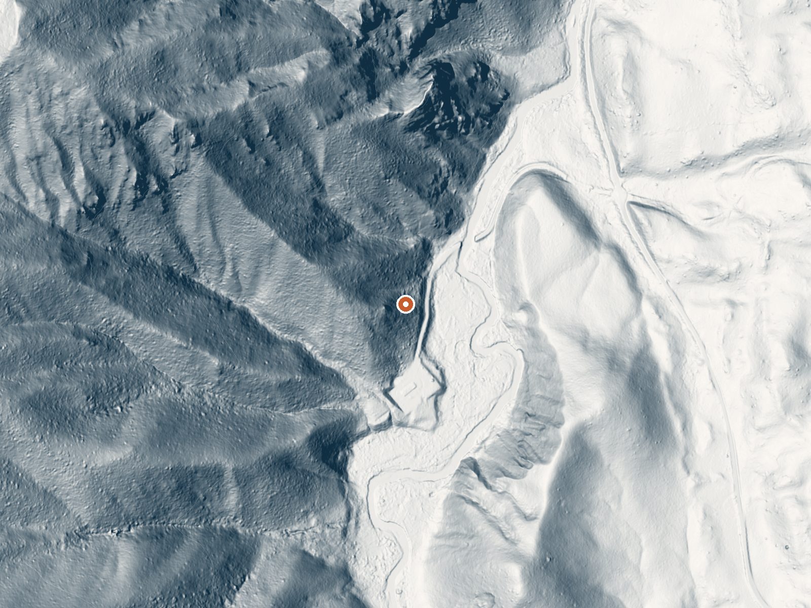
Drag the handle to compare the two views. The orange dot marks the spring, in a frame about three quarters of a mile wide.
South Fork Plunge, mapped on OpenStreetMap as Molly's Tub, is a hot spring in the Boise National Forest near Cascade, in Valley County. Water comes up close to 130 degrees, hot enough that it needs cooling before anyone sits in it. It is a couple hundred yards from South Fork Road. Access is open.
Forest Service land at roughly 5,400 feet, reached by a short walk of a fifth of a mile off South Fork Road. Snow is extreme here, an average near 210 inches, and precipitation overall runs above forty inches. Year-round temperatures average in the low forties. Expect snow on the ground for much of the year.
The listed best months are December through February, which with this much snow means skis or snowshoes, or a wait until things melt. Picnic Point campground lies less than two miles away. Water near 130 degrees will burn; find where it has cooled before getting in. No fee is noted.
Two names are in play. The USGS and this listing call it South Fork Plunge. OpenStreetMap calls it Molly's Tub.
Aircraft with laser scanners measured this ground to within inches. The scan strips out trees and buildings, leaving the bare shape of the land around South Fork Plunge.
- Setting
- Hillside
- The spring sits on a steep slope that climbs to the northwest.
- Highest ground nearby
- 696 ft above the spring
- Within a quarter mile, to the northwest
A slice through the ground from west to east, about 0.6 miles end to end.
Elevation data: USGS 3D Elevation Program. Aerial imagery: USGS The National Map. Public domain.
That's about twice the US average of 65. It's higher than at 77% of the springs on this site.
Heat flow measures the warmth working its way up through the ground from deep inside the earth. Where it runs high, rain and snowmelt that seep down through cracks in the rock come back up hot.
See every spring on the geothermal heat map →
Heat flow estimate: Stanford Thermal Earth Model (Aljubran & Horne, 2024), CC BY 4.0.
Overview Picnic Point Campground is located on a bluff overlooking beautiful Warm Lake, at an elevation of 5,300 feet. Visitors enjoy boating, fishing, swimming, hiking and viewing local wildlife. Recreation Warm Lake offers great fishing opportunities for cutthroat, rainbow, lake and bull trout. Boating, canoeing and swimming are popular activities. A boat ramp is located at neighboring Shoreline Campground. Billy Rice Swim Beach is within walking distance, offering a day-use site for picni...
South Fork Plunge sits at 5,360 feet above sea level, way above the mile-high mark. You may not feel the altitude strongly, but hot water still dehydrates you faster at elevation. UV is about 21% stronger than at sea level, so bring sunscreen and drink more water than you normally would.



As an Amazon Associate, we earn from qualifying purchases.
Springs Near South Fork Plunge
More Springs Around 129°F
Hike 6 waterfalls near South Fork Plunge
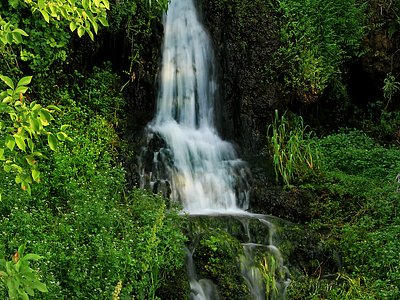
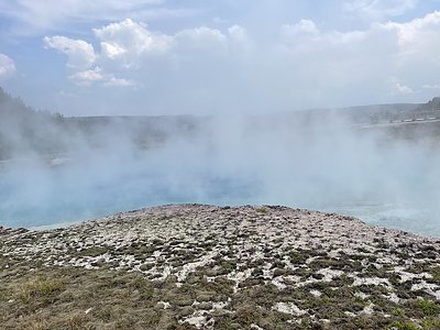
Looking for more outdoor adventures? Explore waterfall hikes near South Fork Plunge, Idaho.