Stuart Hot Springs
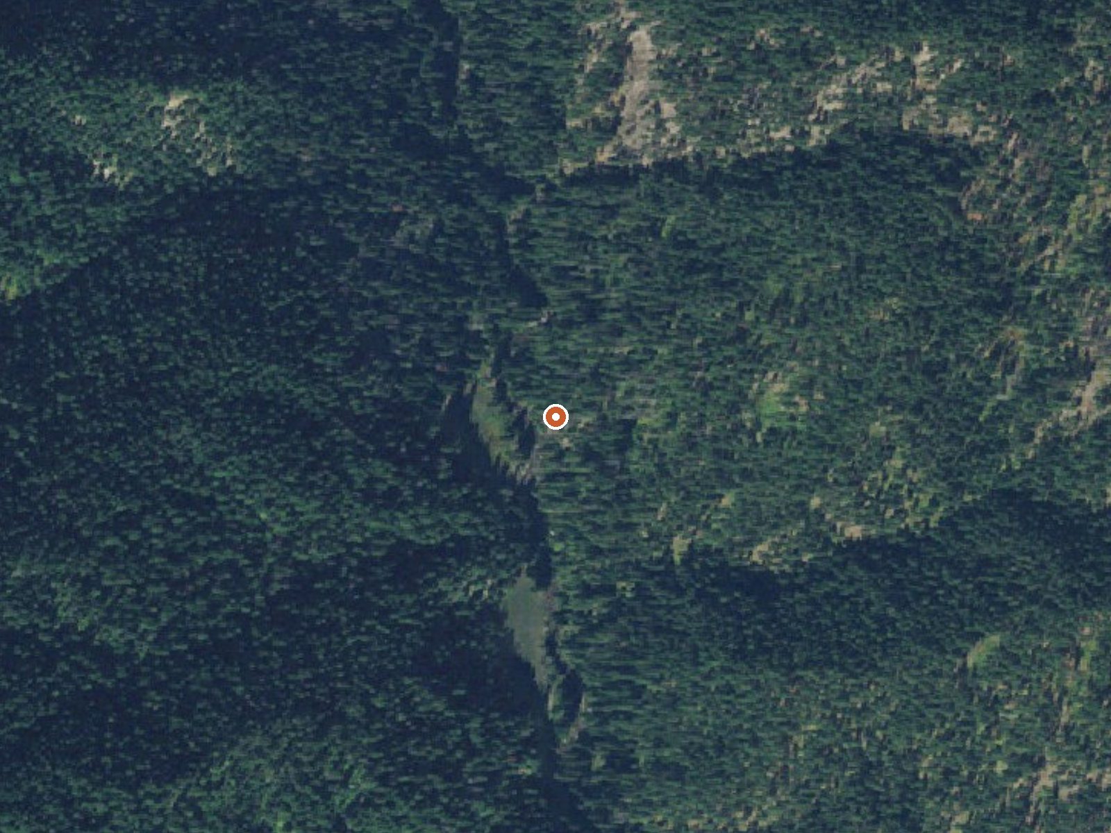
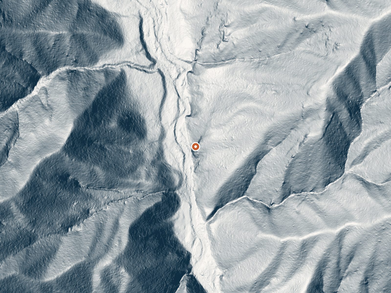
Drag the handle to compare the two views. The orange dot marks the spring, in a frame about three quarters of a mile wide.
Stuart Hot Springs is a backcountry spring in the Nezperce National Forest, nearly six miles from the end of Fog Mountain Road. The nearest town in the record is Hamilton, 43 miles off, and no temperature was ever written down, only the word hot. Access is open. Nothing on record says if it is soakable.
Low, under 3,000 feet, and wet: snowfall averages around 200 inches and precipitation runs in the mid forties. The Forest Service holds the land under a National Forest designation. The walk in from Fog Mountain Road is close to six miles each way, and nothing is recorded about what the route is like or what the spring looks like at the end of it.
No best months are listed. Wilderness Gateway campground is about seventeen miles away. The temperature is unknown, and so is the current state of the spring, so anyone making the trip should treat it as exploration. The access class is backcountry. Chemistry is not on file.
The USGS lists Stuart Hot Springs as a site. OpenStreetMap has it under this name too.
Aircraft with laser scanners measured this ground to within inches. The scan strips out trees and buildings, leaving the bare shape of the land around Stuart Hot Springs.
- Setting
- Canyon floor
- Steep ground climbs away on both sides of the spring.
- Highest ground nearby
- 790 ft above the spring
- Within a quarter mile, to the east
A slice through the ground from west to east, about 0.6 miles end to end.
Elevation data: USGS 3D Elevation Program. Aerial imagery: USGS The National Map. Public domain.
That's close to the US average of 65. It's higher than at 11% of the springs on this site.
Heat flow measures the warmth working its way up through the ground from deep inside the earth. Where it runs high, rain and snowmelt that seep down through cracks in the rock come back up hot.
See every spring on the geothermal heat map →
Heat flow estimate: Stanford Thermal Earth Model (Aljubran & Horne, 2024), CC BY 4.0.
Some links are affiliate links. We may earn a commission at no extra cost to you.
Overview Wilderness Gateway Campground provides direct access to the Wild and Scenic Lochsa River. Visitors enjoy a variety of recreational opportunities, including world famous whitewater rafting. Hiking and horseback riding trails abound in the nearby Selway-Bitterroot Wilderness area, which is the 3rd-largest in the lower 48 United States. This large and unique campground offers respite for a variety of campers, including those with horses, horse trailers and RVs.Recreation The Lochsa...
Stuart Hot Springs requires a hike to reach, so pack light but prepared.






As an Amazon Associate, we earn from qualifying purchases.
Springs Near Stuart Hot Springs
Hike 6 waterfalls near Stuart Hot Springs
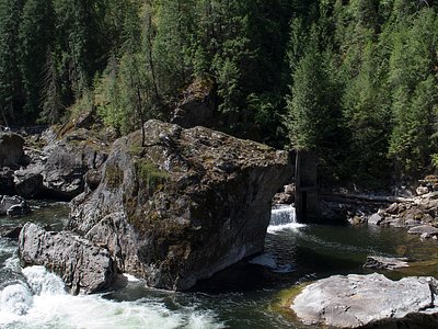
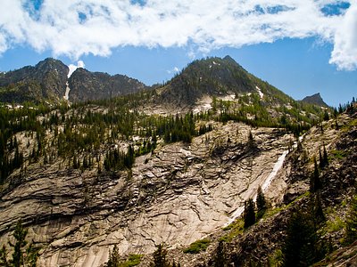
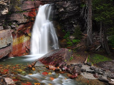
Looking for more outdoor adventures? Explore waterfall hikes near Stuart Hot Springs, Idaho.