Spring
An unnamed spring a few miles outside Wells in Elko County. It is called warm, with no temperature given, so soaking is a guess. Owner unknown, access unknown.
Getting there is half a mile on foot, starting from an unnamed road. Close to six thousand feet, so winters are snowy, a bit over three feet in an average year, with about a foot of moisture over the whole year.
Angel Creek campground in the Humboldt-Toiyabe National Forest is about four miles off, which makes this easy to check from a camp. No best months are listed. Confirm the temperature yourself. Ownership needs checking too. Nothing on fees.
Aircraft with laser scanners measured this ground to within inches. The scan strips out trees and buildings, leaving the bare shape of the land around Spring.
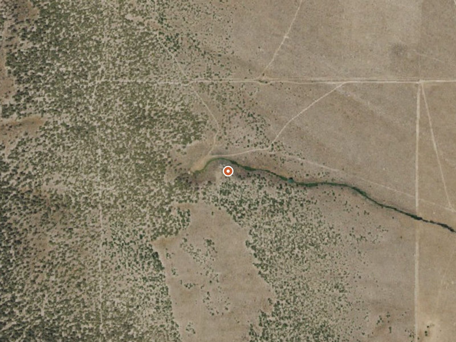
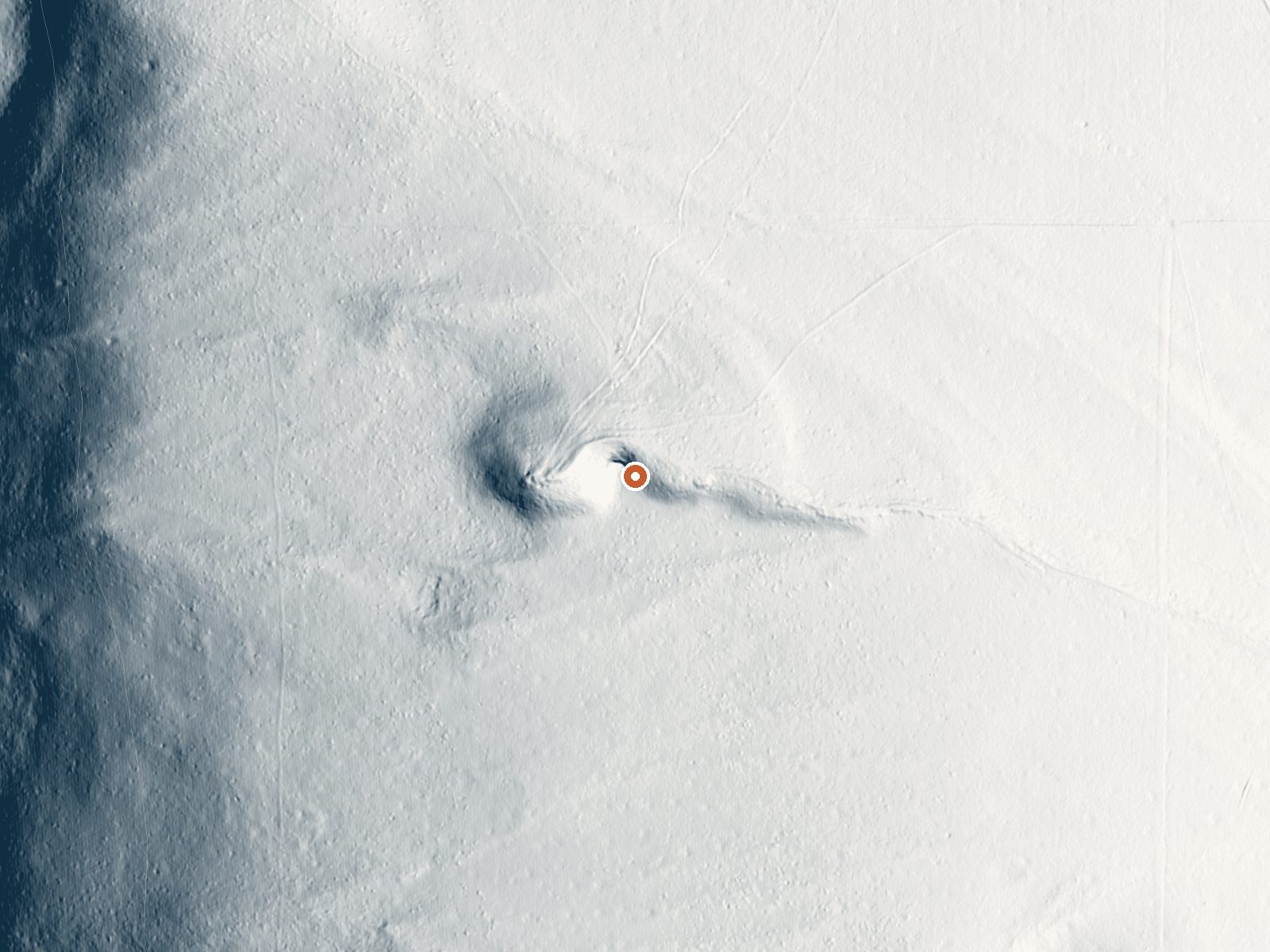
Drag the handle to compare the two views. The orange dot marks the spring, in a frame about three quarters of a mile wide.
- Setting
- Gentle slope
- The ground tilts gently up to the west.
- Highest ground nearby
- 222 ft above the spring
- Within a quarter mile, to the west
A slice through the ground from west to east, about 0.6 miles end to end.
Elevation data: USGS 3D Elevation Program. Aerial imagery: USGS The National Map. Public domain.
That's about twice the US average of 65. It's higher than at 73% of the springs on this site.
Heat flow measures the warmth working its way up through the ground from deep inside the earth. Where it runs high, rain and snowmelt that seep down through cracks in the rock come back up hot.
See every spring on the geothermal heat map →
Heat flow estimate: Stanford Thermal Earth Model (Aljubran & Horne, 2024), CC BY 4.0.
Some links are affiliate links. We may earn a commission at no extra cost to you.
Overview Angel Creek Campground is located on the grassy foothills of the East Humboldt Mountain Range, just eight miles southwest of Wells, Nev. It sits at an elevation of 6,200 feet. Visitors enjoy making the short drive to Angel Lake for canoeing and fishing.Recreation Beautiful Angel Lake is just four miles from the campground, offering great canoeing and fishing for rainbow and brook trout.Smith Lake Trail begins at the entrance to Angel Lake Campground, with a designated day use parking...
Spring sits at 5,892 feet above sea level, way above the mile-high mark. You may not feel the altitude strongly, but hot water still dehydrates you faster at elevation. UV is about 24% stronger than at sea level, so bring sunscreen and drink more water than you normally would.



As an Amazon Associate, we earn from qualifying purchases.
Spring is road-accessible, so you can bring more gear.






As an Amazon Associate, we earn from qualifying purchases.