Springs (Hot)
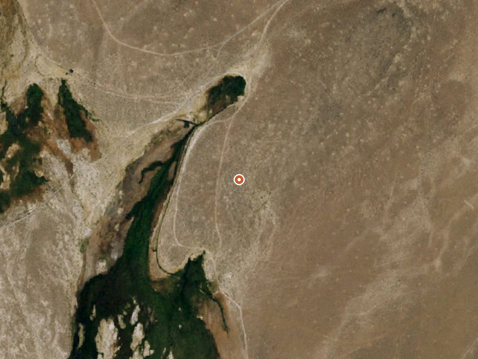
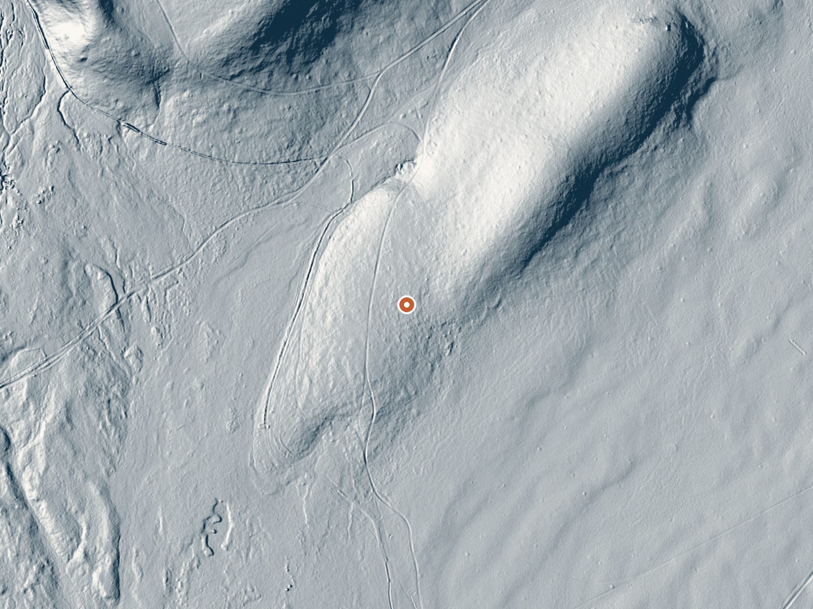
Drag the handle to compare the two views. The orange dot marks the spring, in a frame about three quarters of a mile wide.
The third of the Springs (Hot) thermal points near Alturas, this one under two miles from town, with the hottest reading of the three. The landowner is blank, and so is the question of permission. You would pull your hand back from water this hot. Its two neighbors list a BLM office; this one lists nothing, which is one reason to be careful about assuming it is public.
The road passes within about 170 feet, unnamed on file. Ownership is blank too. Winter snowfall runs shy of three feet, a bit more than at the other two Springs (Hot) points, and the year is on the dry side. The elevation is a little higher than theirs as well.
Come in the cold months. Treat the water as too hot for soaking at the source and learn who owns the ground before you leave the road, because the record is silent on both ownership and permission. Roadside access. No chemistry on file, no sample date, no fee or campground noted.
Aircraft with laser scanners measured this ground to within inches. The scan strips out trees and buildings, leaving the bare shape of the land around Springs (Hot).
- Setting
- Open ground
- Flat, open ground all around.
- Highest ground nearby
- 39 ft above the spring
- Within a quarter mile, to the northeast
A slice through the ground from southwest to northeast, about 0.6 miles end to end.
Elevation data: USGS 3D Elevation Program. Aerial imagery: USGS The National Map. Public domain.
That's about twice the US average of 65. It's higher than at 78% of the springs on this site.
Heat flow measures the warmth working its way up through the ground from deep inside the earth. Where it runs high, rain and snowmelt that seep down through cracks in the rock come back up hot.
See every spring on the geothermal heat map →
Heat flow estimate: Stanford Thermal Earth Model (Aljubran & Horne, 2024), CC BY 4.0.
Some links are affiliate links. We may earn a commission at no extra cost to you.
Springs (Hot) is road-accessible, so you can bring more gear. The water runs hot, so extra hydration is key.





As an Amazon Associate, we earn from qualifying purchases.