Unnamed Thermal Spring
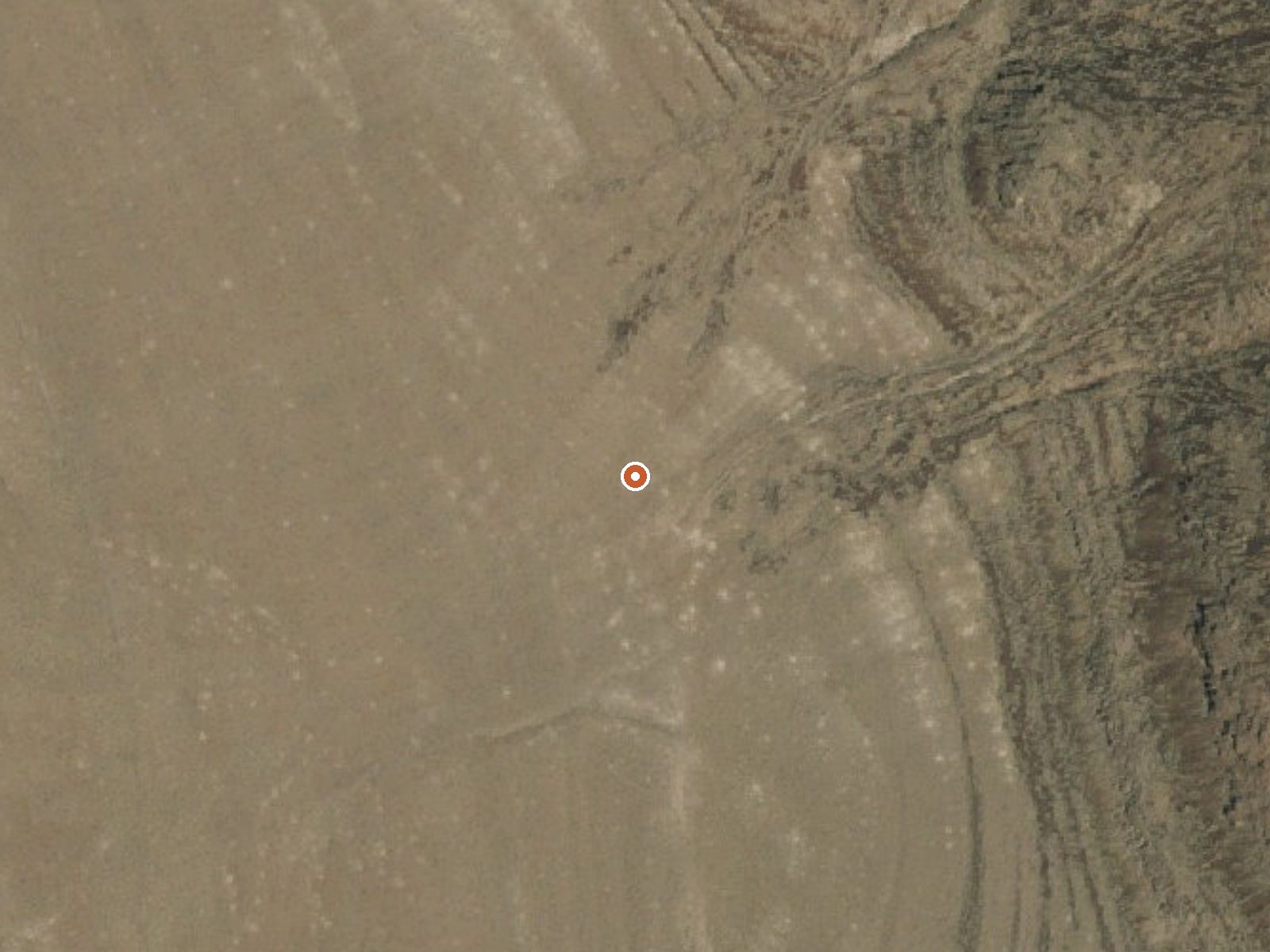
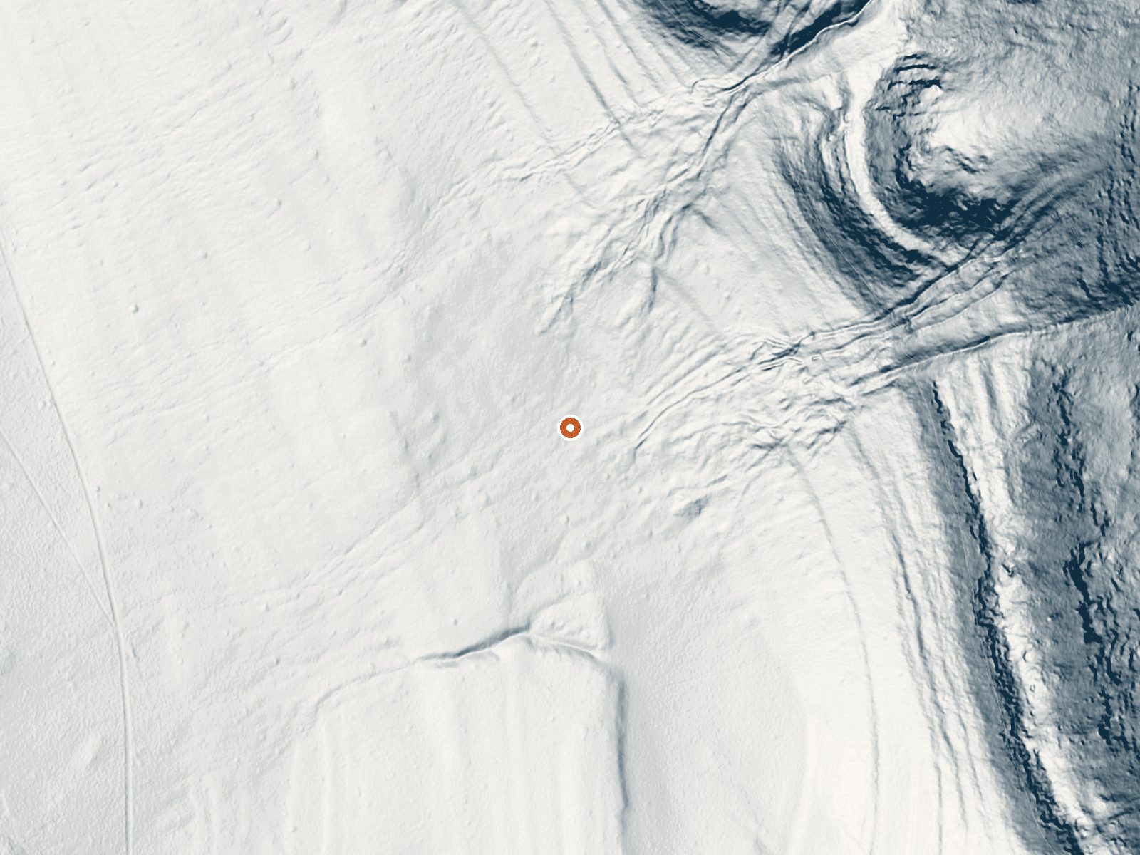
Drag the handle to compare the two views. The orange dot marks the spring, in a frame about three quarters of a mile wide.
Forty-odd miles from Alturas in Modoc County, a thermal point without a name on Applegate Field Office land. The survey flagged it as hot but never wrote down a temperature, so there is no way from the record to say if a soak is possible or safe. The access note reads open. The nearest camping on file is Patterson Guard Station, about a dozen miles off.
A hike of nearly a mile and a half from Old Highway Road, the closest named road in the record. Bureau of Land Management ground at moderate elevation. Snow piles up close to five feet in an average winter and the year is wetter than most of the basin country, so expect soggy ground in spring. The land has no designation beyond public.
No best-months rating is on file. Given the snowfall, a summer or early fall visit will have the easiest walking. Hiking access, call it a mile and a half each way. Patterson Guard Station is the listed campground, roughly twelve miles away. No fee noted. Because nobody ever measured the temperature, test the water before any part of you goes in.
Aircraft with laser scanners measured this ground to within inches. The scan strips out trees and buildings, leaving the bare shape of the land around this spring.
- Setting
- Hillside
- The spring sits on a steep slope that climbs to the northeast.
- Highest ground nearby
- 306 ft above the spring
- Within a quarter mile, to the northeast
A slice through the ground from southwest to northeast, about 0.6 miles end to end.
Elevation data: USGS 3D Elevation Program. Aerial imagery: USGS The National Map. Public domain.
That's about 1½ times the US average of 65. It's higher than at 62% of the springs on this site.
Heat flow measures the warmth working its way up through the ground from deep inside the earth. Where it runs high, rain and snowmelt that seep down through cracks in the rock come back up hot.
See every spring on the geothermal heat map →
Heat flow estimate: Stanford Thermal Earth Model (Aljubran & Horne, 2024), CC BY 4.0.
Some links are affiliate links. We may earn a commission at no extra cost to you.
Overview *Altitude is 7,080 feet above sea level* Set on the edge of a meadow surrounded by Aspen, Fir and Pine trees, Patterson Guard Station has stood since 1921. It served the Modoc National Forest as a fully staffed fire office and guard station until 1981. Just a few footsteps from the Summit Trail and one-quarter mile from the wilderness boundary, Patterson Guard Station can be your basecamp for trips into the South Warner Wilderness or the perfect place to disconnect and relax. The...
this spring is road-accessible, so you can bring more gear.






As an Amazon Associate, we earn from qualifying purchases.
Springs Near This Spring
Hike 1 waterfall near this spring
Looking for more outdoor adventures? Explore waterfall hikes near this spring, Nevada.