Hot Spring
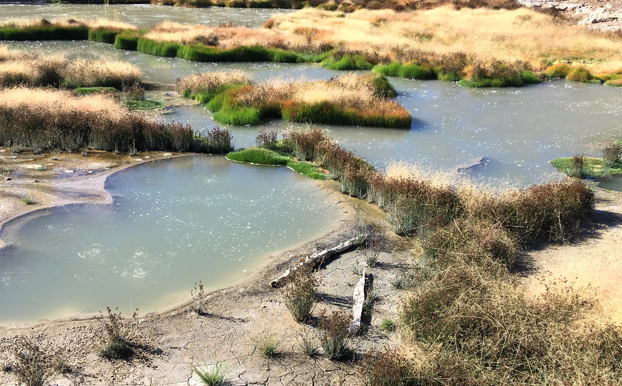
Here is another entry the record calls only Hot Spring, backcountry, inside Yellowstone, Gallatin County, Wyoming. Whatever road comes closest sits nearly seven miles off and goes unnamed. The label says hot; no one has taken a temperature. There is no sample and no picture of it. West Yellowstone lies about twenty-five miles off, and no town is closer. Owned by the Park Service, and open.
Close to seven miles from a road the record leaves unnamed, with no route described. Elevation is a little over 8,200 feet. Cold climate on file, with about a hundred and forty-two inches of snow a year and a low-thirties average. National Park Service land in the Yellowstone backcountry.
The record is silent on best months. Heavy snow plus a long backcountry approach means the park's season and rules come first. Threemile Campground is the closest camping on record, close to seventeen miles away. Temperature is not on record, so do not plan a soak and keep well back from the water.
Aircraft with laser scanners measured this ground to within inches. The scan strips out trees and buildings, leaving the bare shape of the land around Hot Spring.
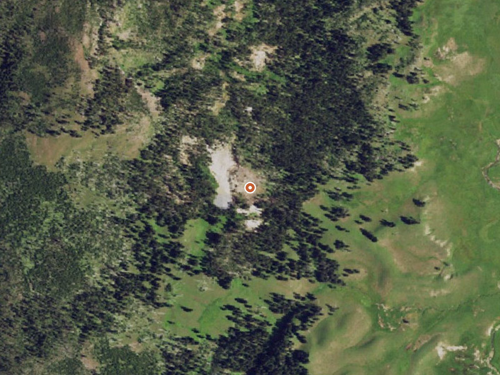
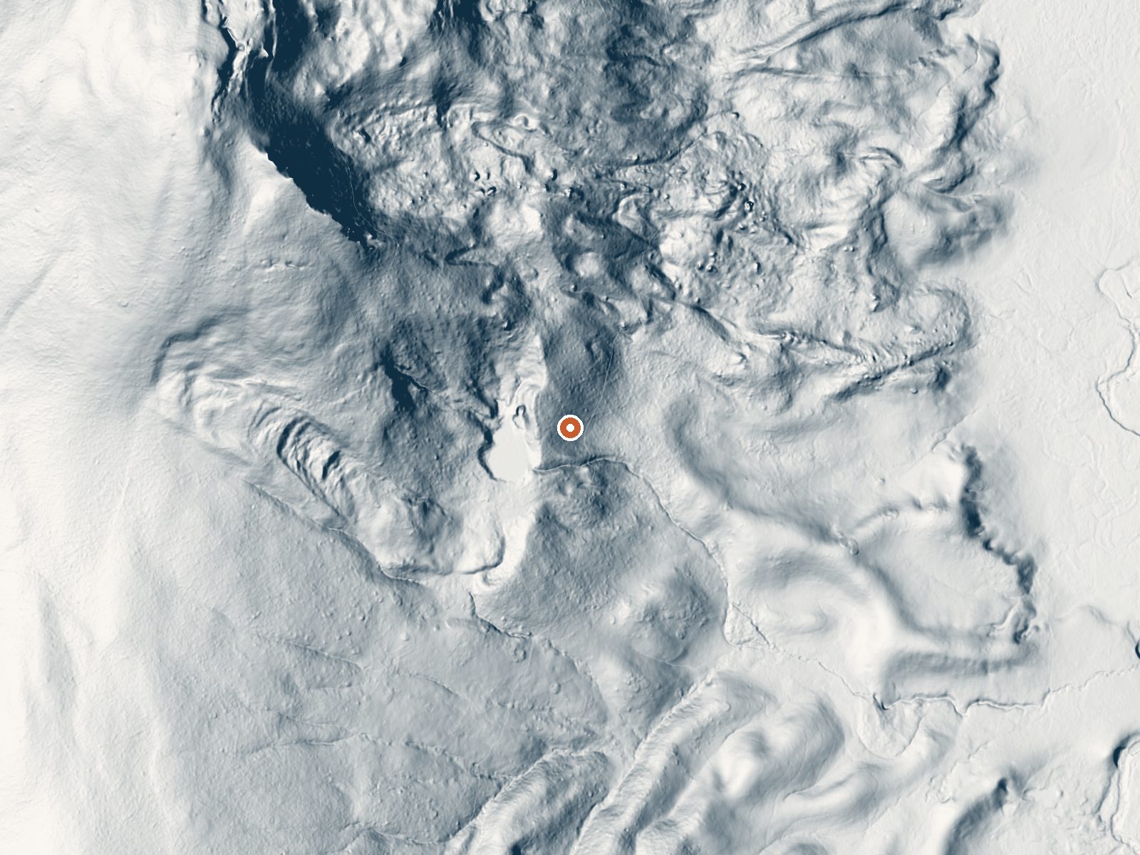
Drag the handle to compare the two views. The orange dot marks the spring, in a frame about three quarters of a mile wide.
- Setting
- Hillside
- The spring sits on a steep slope that climbs to the northwest.
- Highest ground nearby
- 409 ft above the spring
- Within a quarter mile, to the northwest
A slice through the ground from northwest to southeast, about 0.6 miles end to end.
Elevation data: USGS 3D Elevation Program. Aerial imagery: USGS The National Map. Public domain.
Landsat's thermal camera passed over on a clear winter day, February 21, 2020. This spring's heat shows up from about 440 miles up. The brightest yellow marks the warmest ground, roughly 15°F warmer than the land around it.
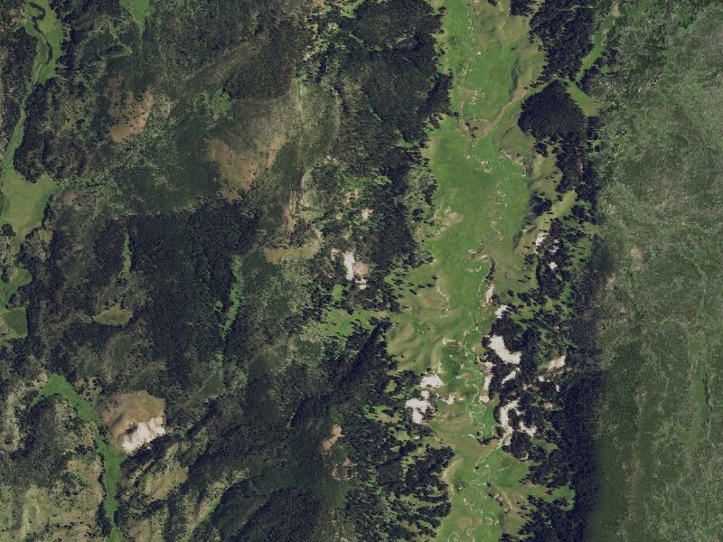
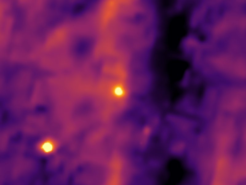
Drag to compare. The view is about 2½ miles across, and each thermal pixel covers roughly 300 feet of ground, so individual pools blur into one warm patch.
Thermal: Landsat 8/9 surface temperature, USGS (public domain), via Microsoft Planetary Computer. Aerial: USGS The National Map. More springs seen from space.
That's about 1½ times the US average of 65. It's higher than at 25% of the springs on this site.
Heat flow measures the warmth working its way up through the ground from deep inside the earth. Where it runs high, rain and snowmelt that seep down through cracks in the rock come back up hot.
See every spring on the geothermal heat map →
Heat flow estimate: Stanford Thermal Earth Model (Aljubran & Horne, 2024), CC BY 4.0.
Some links are affiliate links. We may earn a commission at no extra cost to you.
Overview Threemile Campground is located just three miles from the east entrance of Yellowstone National Park, and 50 miles from the full service gateway community of Cody, in northwestern Wyoming. The area is an ideal destination for a family getaway, with many opportunities for outdoor recreation. Hard-sided camp trailers and RVs are required.Recreation Great opportunities for hiking, fishing, scenic driving and wildlife viewing are available around the campground. The North Fork of the Sho...
At 8,231 feet, Hot Spring is in high-altitude territory where the air is noticeably thinner. Soaking in hot water accelerates dehydration and can amplify altitude effects like headache and fatigue. UV radiation is roughly 33% stronger here. Wear sunscreen even on overcast days and take breaks from the water to rehydrate.




As an Amazon Associate, we earn from qualifying purchases.
Hot Spring requires a hike to reach, so pack light but prepared. Cold air temperatures make a changing robe or warm layers essential.






As an Amazon Associate, we earn from qualifying purchases.
Springs Near Hot Spring
Hike 6 waterfalls near Hot Spring
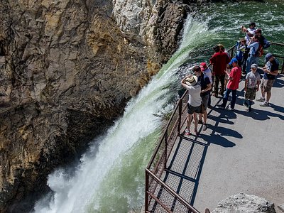
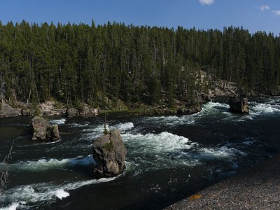
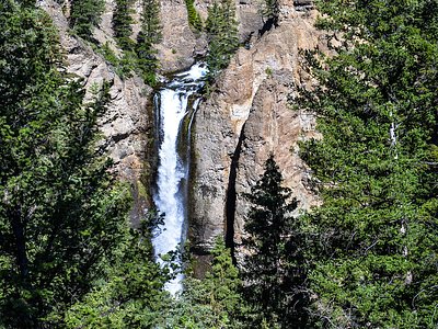
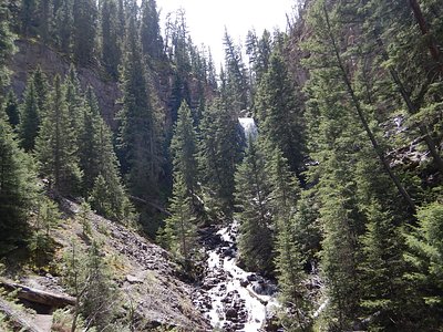
Looking for more outdoor adventures? Explore waterfall hikes near Hot Spring, Wyoming.