Fumaroles On Little Sitkin Island
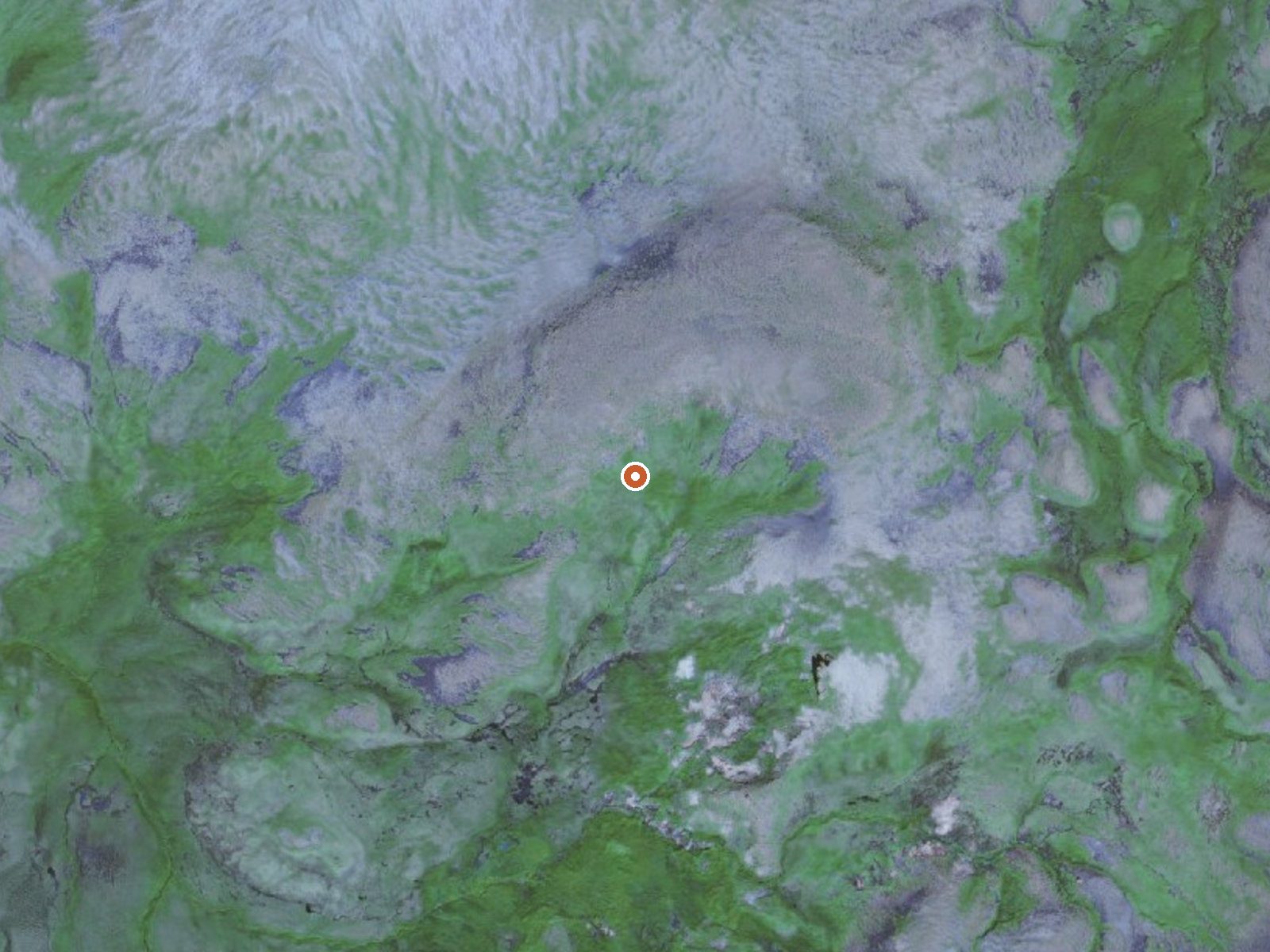
The orange dot marks the spring, in a frame about three quarters of a mile wide.
Lower on Little Sitkin Island, under seven hundred feet, this second fumarole group sits inside the same refuge, Alaska Maritime, under the same restricted access. The qualifier on file is hot; no number backs it. Beringovskiy is the nearest named town on the record.
No road comes within a hundred and ninety miles of it. The ground belongs to the refuge. The year averages out above freezing, barely, with six feet of snow give or take and forty-some inches of precipitation.
There is no favored season and no place to camp on file. Entry is restricted. Steam vents burn, and the missing temperature reading should make you more careful. Check with the refuge before doing anything.
USGS hasn't flown a detailed laser scan here yet, so this view comes from aerial photos and older elevation data.
- Setting
- Canyon floor
- Steep ground climbs away on both sides of the spring.
- Highest ground nearby
- 347 ft above the spring
- Within a quarter mile, to the north
A slice through the ground from west to east, about 0.6 miles end to end.
Elevation data: USGS 3D Elevation Program. Aerial imagery: USGS The National Map. Public domain.