Fumaroles On Gareloi Island
Aleutians West Census Area County, Alaska · Near Dutch Harbor
51.7620°N, 178.7700°W · 805 ft
144°F 805 ft Restricted Backcountry US Fish and Wildlife Service
Fumarole: Not a Soaking Spring

Fumaroles On Gareloi Island is a fumarole, not a traditional hot spring. These geothermal features can be extremely dangerous. Boiling water, toxic gases, and unstable ground are common hazards. Do not attempt to soak.

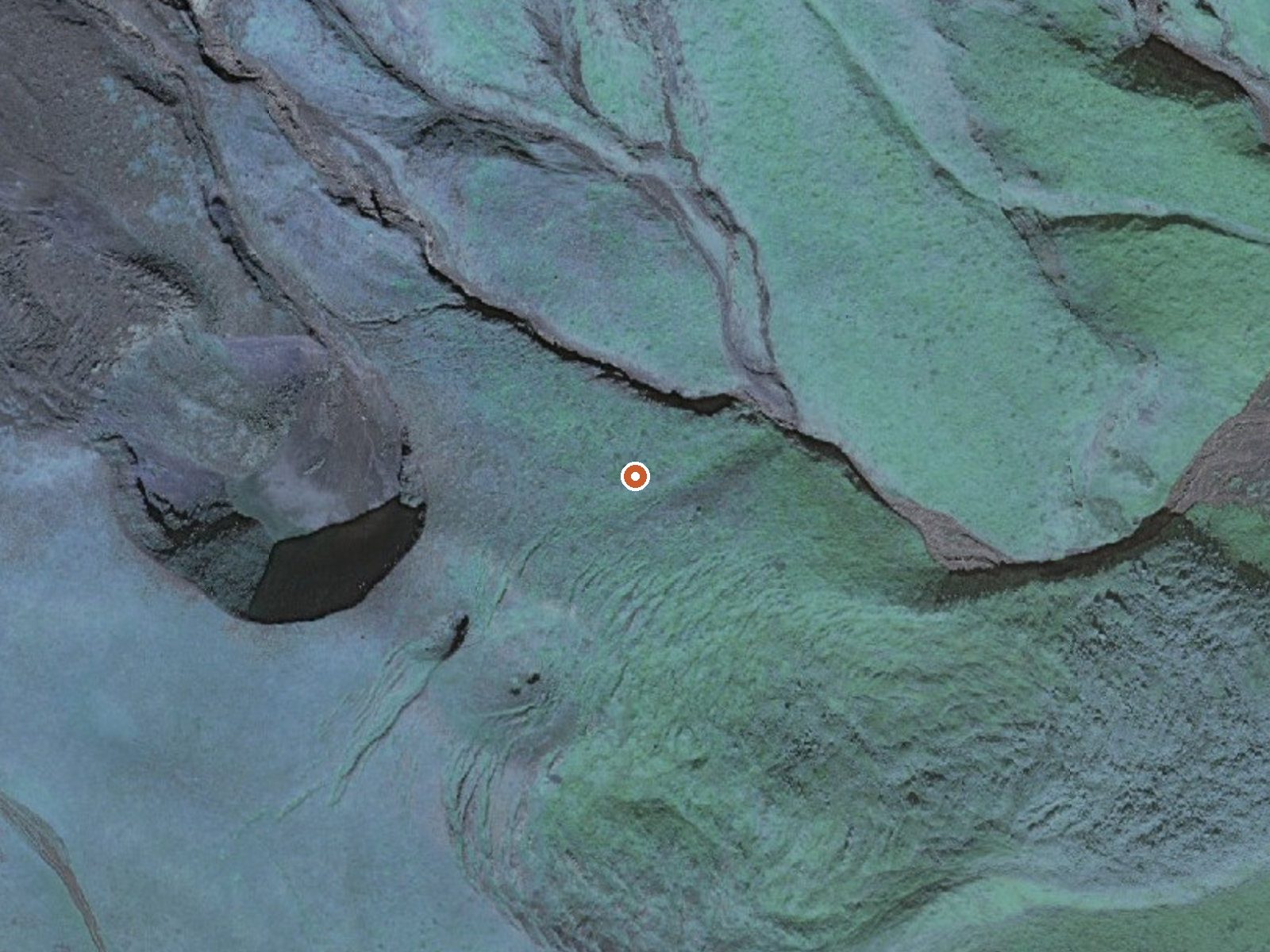
Aerial view of the ground around Fumaroles On Gareloi Island

The orange dot marks the spring, in a frame about three quarters of a mile wide.

A second set of fumaroles on Gareloi Island, this one lower down and with a measured temperature: scalding. The Alaska Maritime National Wildlife Refuge covers the island and the Fish and Wildlife Service restricts access. The nearest town named is Dutch Harbor, about three hundred and eighty miles away.

Location
382 miles from Dutch Harbor, AK

Around eight hundred feet above the sea, backcountry in the strictest sense, with the nearest road thirty miles away. The yearly average on file sits in the upper thirties, and snow still runs past six feet. Nothing about a landing site or route in is recorded.

January through March rank best on file. At this temperature the water and steam will scald instantly; there is no soaking and no safe touching. Refuge rules apply and entry is restricted. No camping or fee information exists for it.

Terrain

USGS hasn't flown a detailed laser scan here yet, so this view comes from aerial photos and older elevation data.

Setting
Hillside
The spring sits on a steep slope that climbs to the northwest.
Highest ground nearby
276 ft above the spring
Within a quarter mile, to the northwest
Cross-section through the spring

A slice through the ground from west to east, about 0.6 miles end to end.

Elevation data: USGS 3D Elevation Program. Aerial imagery: USGS The National Map. Public domain.

Monthly Climate
32°
Jan
32°
Feb
33°
Mar
34°
Apr
36°
May
39°
Jun
42°
Jul
45°
Aug
44°
Sep
41°
Oct
37°
Nov
33°
Dec
Annual Precip: 49.1 in Annual Snow: 78.9 in
Best Time to Visit
January Air 32°F · Water 144°F · +112° contrast
February Air 32°F · Water 144°F · +112° contrast
March Air 33°F · Water 144°F · +112° contrast
January offers 13°F more contrast than August
Temperature
144°F
Warm Hot Boiling
Water Temp 144°F (62°C)
Avg Air Temp 37°F
Above Ambient +107°F
Access
Restricted
Road Access Backcountry
Distance to Road 29.7 mi
Land
Ownership Federal
Agency US Fish and Wildlife Service
Designation National Wildlife Refuge
Unit Alaska Maritime National Wildlife Refuge
Manager US Fish and Wildlife Service
Protection 1 - Permanent protection, natural state
Frequently Asked Questions
What is the water temperature at Fumaroles On Gareloi Island?
Fumaroles On Gareloi Island has a water temperature of 144°F (62°C). This is considered a hot spring, well above body temperature.
Where is Fumaroles On Gareloi Island located?
Fumaroles On Gareloi Island is located in Aleutians West Census Area, Alaska at 805 feet elevation, near Dutch Harbor. Coordinates: 51.7620°N, 178.7700°W.
How do I get to Fumaroles On Gareloi Island?
Fumaroles On Gareloi Island has Backcountry road access (29.7 mi from the road).
Is Fumaroles On Gareloi Island free to visit?
Fumaroles On Gareloi Island has Restricted access. It is managed by US Fish and Wildlife Service.
Is it safe to soak at Fumaroles On Gareloi Island?
No, not at the source. The water at Fumaroles On Gareloi Island reaches 144°F, which can cause severe burns within seconds. Look for cooled side pools or downstream stretches, and test with a hand before anything else.