Okpilak Springs
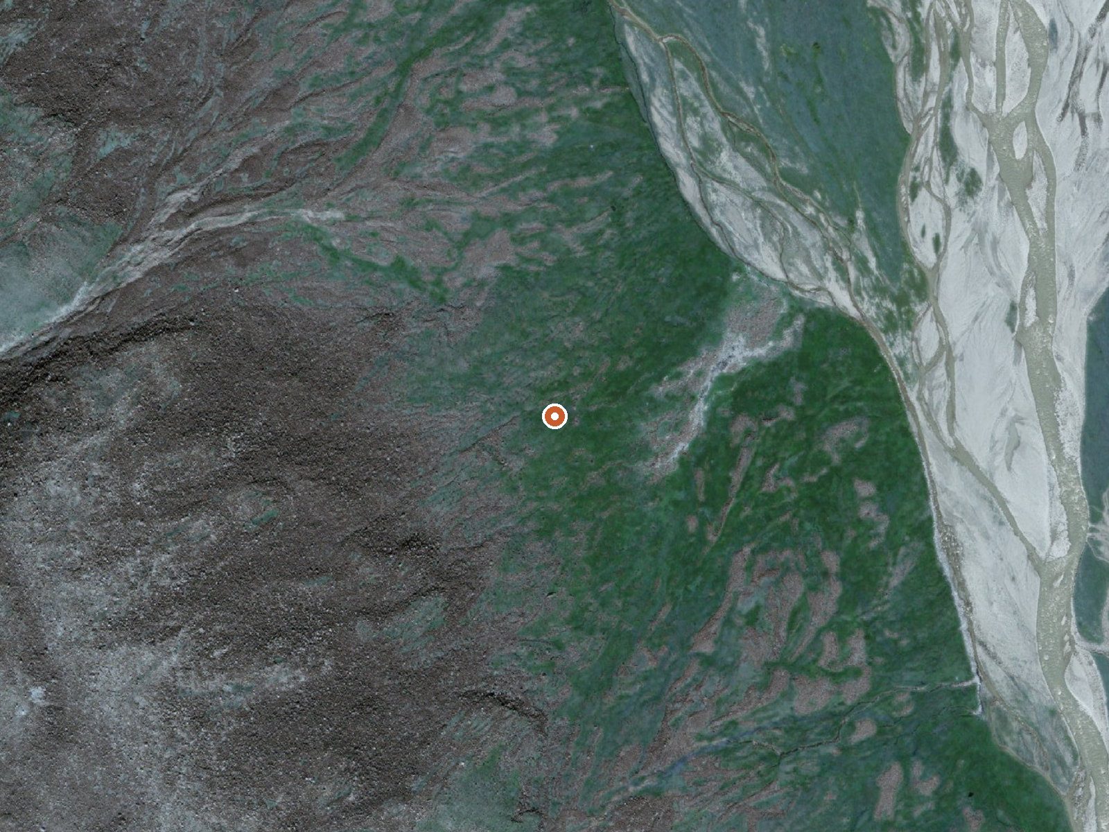
The orange dot marks the spring, in a frame about three quarters of a mile wide.
Okpilak Springs is a thermal spring in the Arctic National Wildlife Refuge, North Slope Borough, about 47 miles from any road and 130 miles from Prudhoe Bay. Access is restricted. The USGS sampled it in August 1976 and found moderate dissolved solids. The temperature was never logged.
High in the arctic refuge, with a yearly average around twenty degrees and moderate snow. Tractor Trail is the nearest thing to a road. Backcountry in the strictest sense. The US Fish and Wildlife Service administers the ground.
No best months. Restricted access, so the refuge office comes first. The water was sampled once, in 1976, and nothing since. No campground is listed. Do not assume the spring is warm enough to enter.
The US Geological Survey maintains a site record here, with its one water sample taken on August 27, 1976.
USGS hasn't flown a detailed laser scan here yet, so this view comes from aerial photos and older elevation data.
- Setting
- Hillside
- The spring sits on a steep slope that climbs to the west.
- Highest ground nearby
- 555 ft above the spring
- Within a quarter mile, to the west
A slice through the ground from west to east, about 0.6 miles end to end.
Elevation data: USGS 3D Elevation Program. Aerial imagery: USGS The National Map. Public domain.
The water at Okpilak Springs contains 423 mg/L total dissolved solids. It is notably rich in sulfate (traditionally used for skin conditions and inflammation).