Roosevelt Dam Springs

Roosevelt Dam Springs is hot. The water comes out well above bath temperature, hot enough that you would want to let it cool or mix before sitting in it. It is on Tonto National Forest land in Gila County, about 14 miles from Tonto Basin, and the Apache Trail runs right past it. Open to the public.
Roadside in the plainest sense: the spring is a hundred-odd feet off the Apache Trail. The elevation is under two thousand feet, low country, with five inches of snow in an average winter and fourteen of rain. Forest Service ground, no fee on file. Frazier Horse Campground sits about two miles away.
Come in the cool months; midwinter is what the record favors, and the annual mean here is around seventy, so summer will be hot. Take care with the water. At 118 degrees it will burn with enough contact, so test it before getting in and keep your head out. Camping is close by at Frazier Horse. The access is open and the walk is trivial.
Aircraft with laser scanners measured this ground to within inches. The scan strips out trees and buildings, leaving the bare shape of the land around Roosevelt Dam Springs.
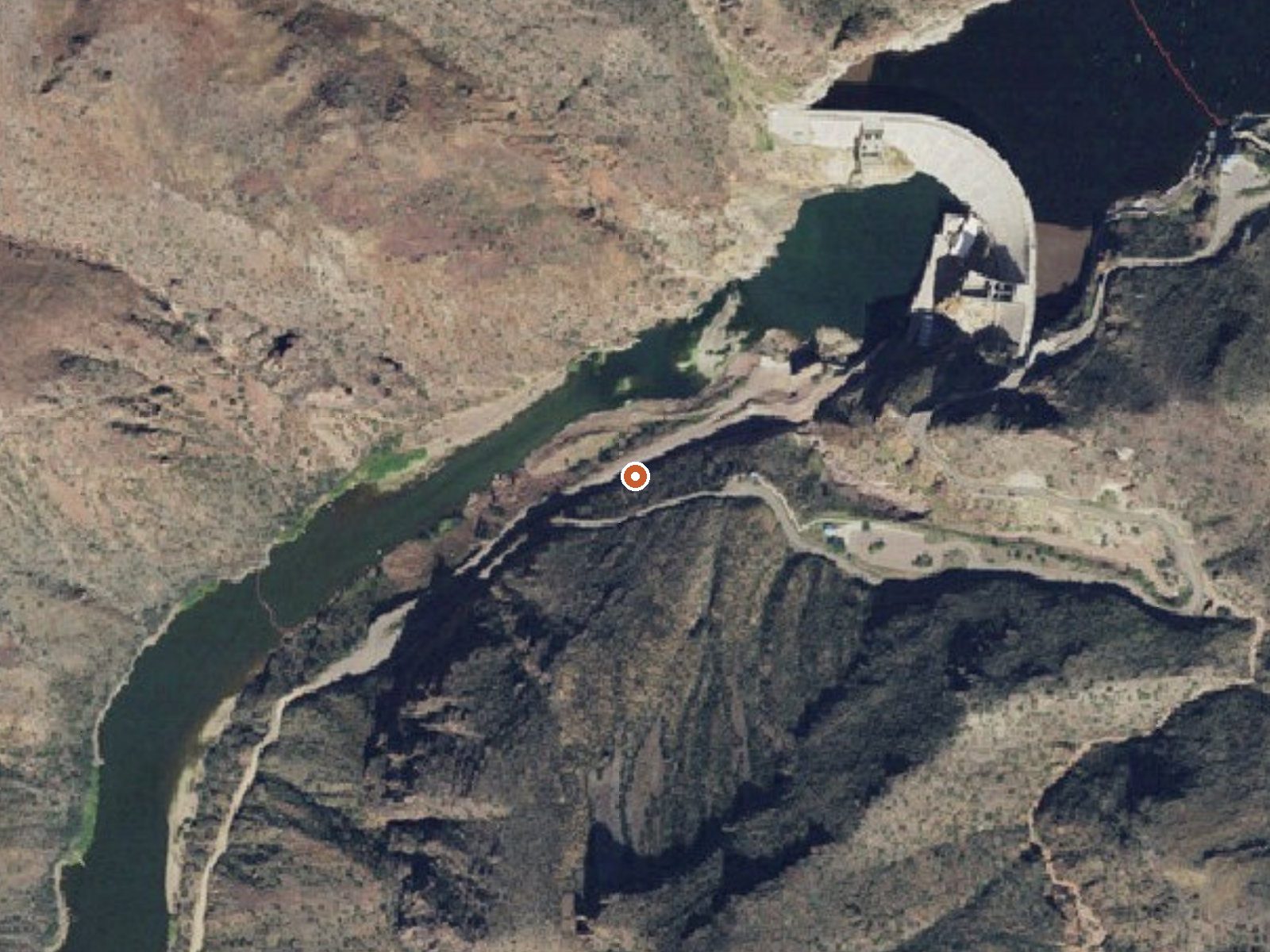
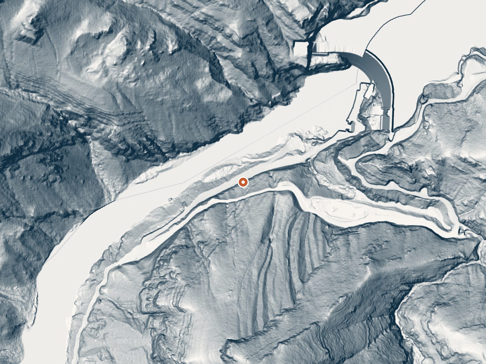
Drag the handle to compare the two views. The orange dot marks the spring, in a frame about three quarters of a mile wide.
- Setting
- Canyon floor
- Steep ground climbs away on both sides of the spring.
- Highest ground nearby
- 876 ft above the spring
- Within a quarter mile, to the south
A slice through the ground from northwest to southeast, about 0.6 miles end to end.
Elevation data: USGS 3D Elevation Program. Aerial imagery: USGS The National Map. Public domain.
That's about 1½ times the US average of 65. It's higher than at 42% of the springs on this site.
Heat flow measures the warmth working its way up through the ground from deep inside the earth. Where it runs high, rain and snowmelt that seep down through cracks in the rock come back up hot.
See every spring on the geothermal heat map →
Heat flow estimate: Stanford Thermal Earth Model (Aljubran & Horne, 2024), CC BY 4.0.
Some links are affiliate links. We may earn a commission at no extra cost to you.
Overview The Frazier Horse Campground is nestled into a Sonoran desert landscape at Roosevelt Lake, one of Arizona's most outstanding water-based recreation areas. The lake is the largest of four reservoirs within a 2-hour drive of Phoenix and Tucson. The facility has the first lakeside horse camp built in the Southwestern Region of the Forest Service. From the recreation site, trail users access the Arizona Trail, an 800-mile (1,287-kilometer), non-motorized trail. Recreation Bring your ho...
Roosevelt Dam Springs is road-accessible, so you can bring more gear. The water runs hot, so extra hydration is key. Bring sun protection for exposed soaking.




As an Amazon Associate, we earn from qualifying purchases.
Springs Near Roosevelt Dam Springs
More Springs Around 118°F
Hike 1 waterfall near Roosevelt Dam Springs
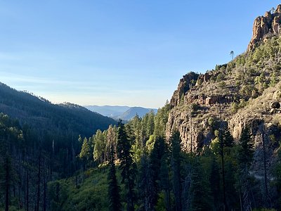
Looking for more outdoor adventures? Explore waterfall hikes near Roosevelt Dam Springs, Arizona.