Salt Banks
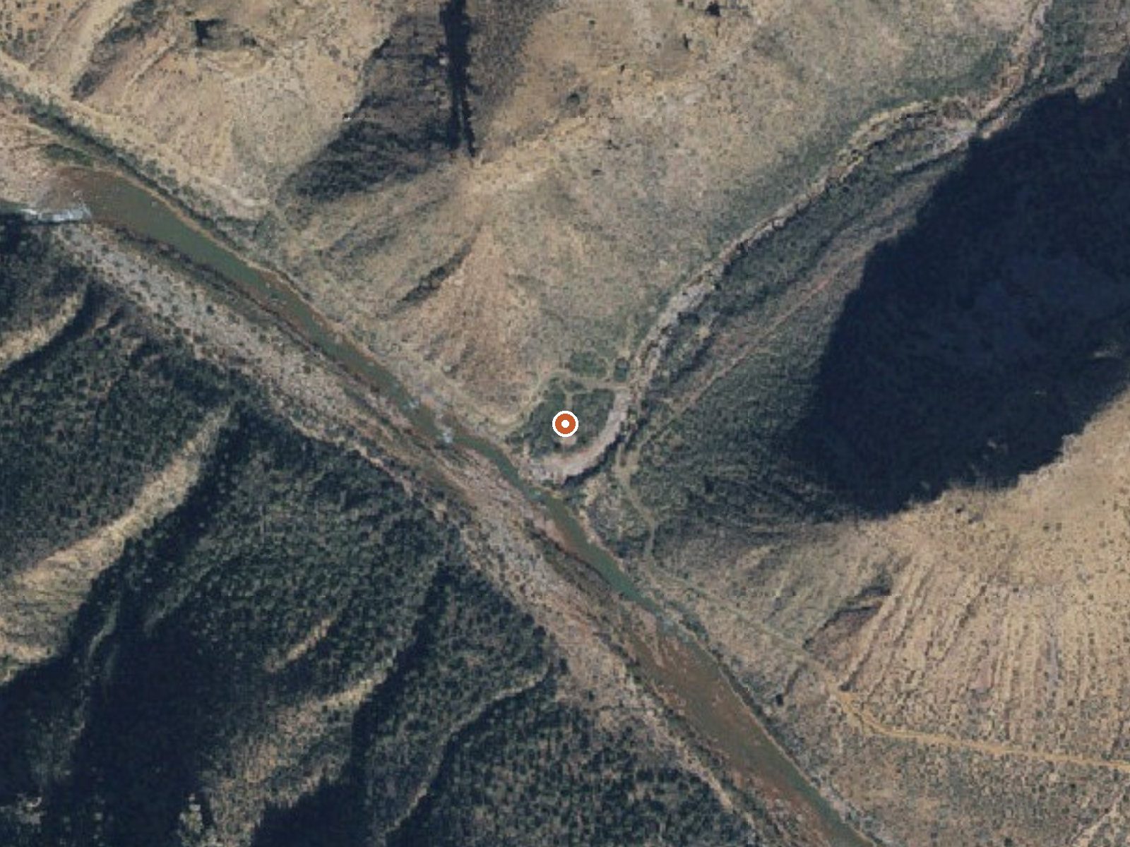
The orange dot marks the spring, in a frame about three quarters of a mile wide.
Salt Banks sits on Fort Apache Reservation land in Navajo County, some fifteen miles from Cibecue and a short distance off Reservation Road. Put a hand in and it is warm, well short of soaking heat. The tribe holds the land, and public access has never been spelled out.
Roadside, about 140 feet from Reservation Road. Elevation a little over three thousand feet. This corner of Navajo County is wetter than the low desert: rain about fifteen inches, snow near eleven. Tribal land throughout. Timber Camp Recreation Area, about ten miles off, is the campground on file.
Ask the tribal authorities before going; access is not on record and the ground belongs to the tribe. Winter shows up as the best time to visit. Camping at Timber Camp is roughly ten miles away. The temperature reading is modest, so dress for a warm dip at most. Nobody has sampled the water here as far as the record shows, and there is no USGS number attached, so the temperature is all there is to go on.
USGS hasn't flown a detailed laser scan here yet, so this view comes from aerial photos and older elevation data.
- Setting
- Canyon floor
- Steep ground climbs away on both sides of the spring.
- Highest ground nearby
- 565 ft above the spring
- Within a quarter mile, to the north
A slice through the ground from northwest to southeast, about 0.6 miles end to end.
Elevation data: USGS 3D Elevation Program. Aerial imagery: USGS The National Map. Public domain.
That's about 1½ times the US average of 65. It's higher than at 41% of the springs on this site.
Heat flow measures the warmth working its way up through the ground from deep inside the earth. Where it runs high, rain and snowmelt that seep down through cracks in the rock come back up hot.
See every spring on the geothermal heat map →
Heat flow estimate: Stanford Thermal Earth Model (Aljubran & Horne, 2024), CC BY 4.0.
Overview Timber Camp Recreation Area has one of the most popular family and group campgrounds in the Tonto National Forest offering both day-use sites and over-night areas.Recreation Abundant recreation opportunities such as cross-country horseback riding, hiking, in-season hunting, exploring, off-highway vehicle use and wildlife viewing are in close proximity. In the spring, whitewater rafting trips on the Upper Salt River launch a mere 20-minute drive from the site. Brundrett 2 and the equ...
Springs Near Salt Banks
More Springs Around 78°F
Hike 1 waterfall near Salt Banks
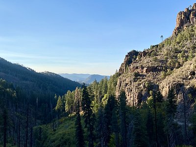
Looking for more outdoor adventures? Explore waterfall hikes near Salt Banks, Arizona.