Roper Lake State Park Hot Spring
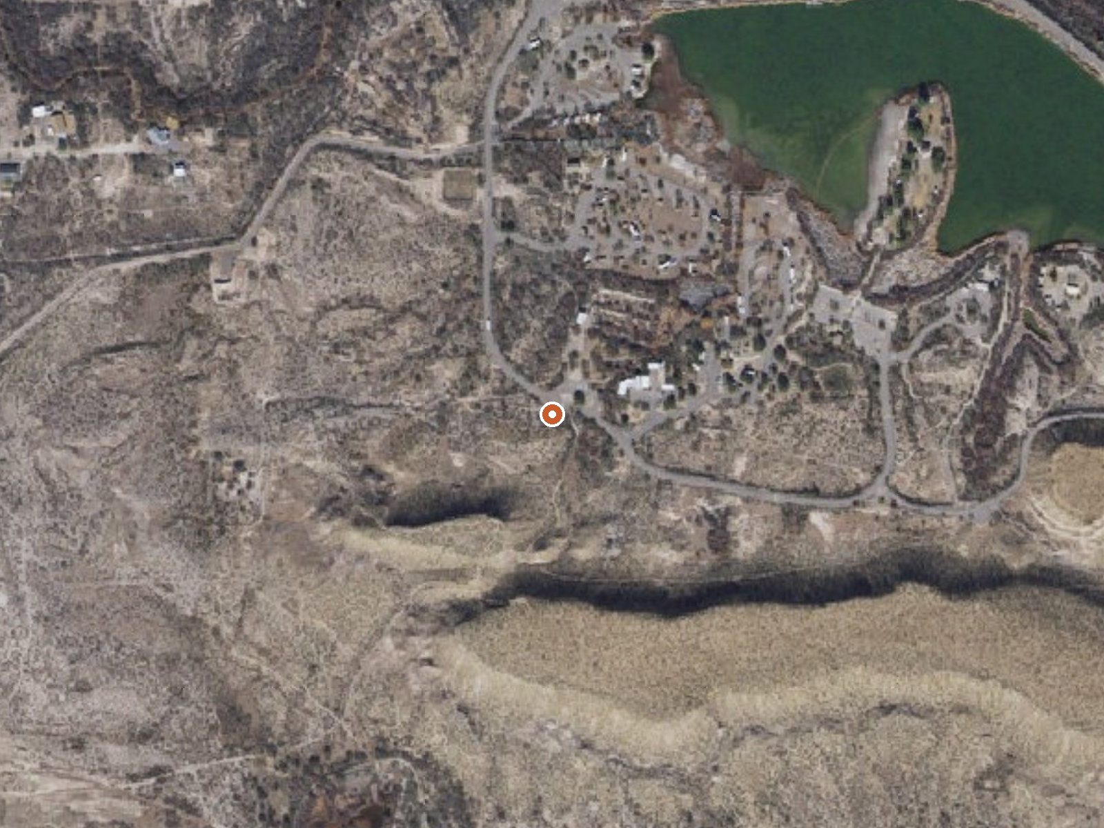
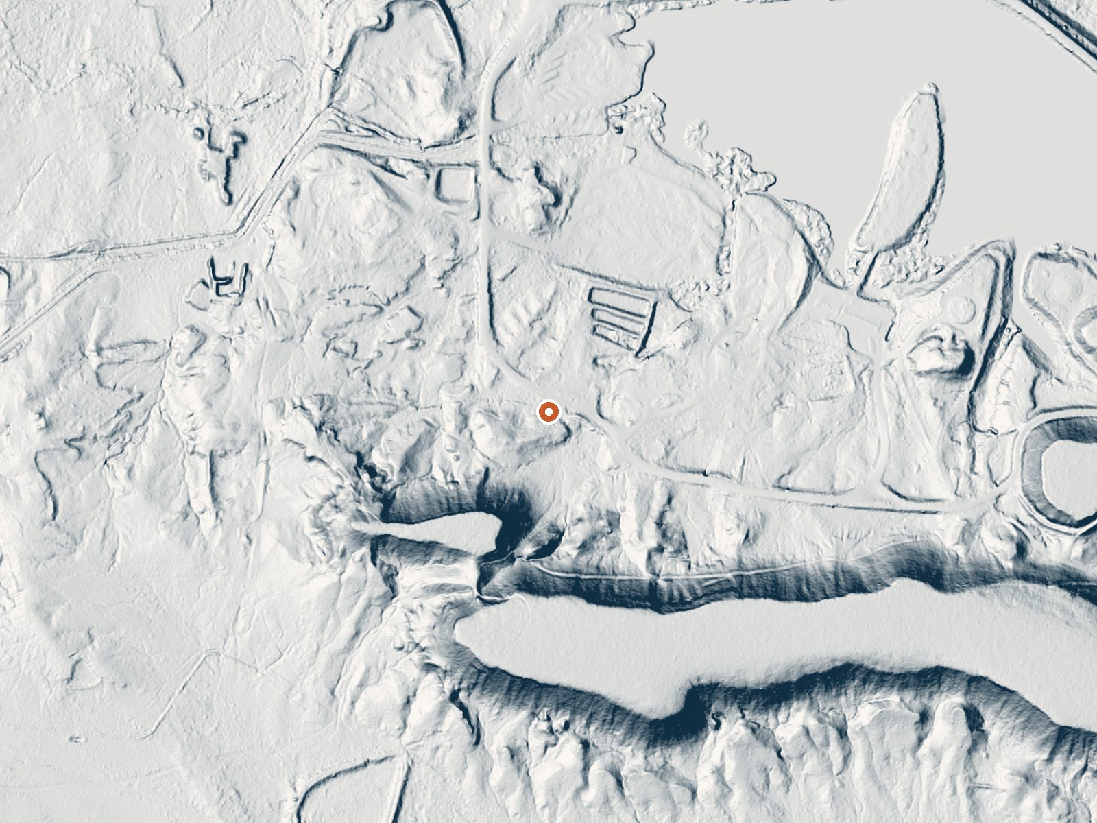
Drag the handle to compare the two views. The orange dot marks the spring, in a frame about three quarters of a mile wide.
Roper Lake State Park Hot Spring is a single geothermal mineral spring inside Roper Lake State Park near Safford, in Graham County. The land is a state park unit, so this is the developed end of things, with the spring fifty feet off East Roper Lake Road. Access is open. No temperature reading is on file here, which is worth saying plainly since the name promises heat. Cactus Flat is the nearest town on record.
The park sits a bit above three thousand feet, where winters bring a couple of inches of snow and the year's rain comes to about eleven inches. The road runs right past the spring. Ownership is listed as other state land under a conservation designation, which in practice means park rules. Upper Arcadia, about ten miles away, is the nearest campground on file.
The record gives no best months, though the climate figures point to winter and the shoulder seasons over summer. Roadside. Park hours and any entry fee are not on record for this spring, so check before you go. The temperature has not been measured for this listing, so ask the park what the soaking water runs before driving out for it.
Wikipedia describes it as the one geothermal mineral spring in Roper Lake State Park at Safford. It has a USGS site number as well.
Aircraft with laser scanners measured this ground to within inches. The scan strips out trees and buildings, leaving the bare shape of the land around Roper Lake State Park Hot Spring.
- Setting
- Gentle slope
- The ground tilts gently up to the south.
- Highest ground nearby
- 84 ft above the spring
- Within a quarter mile, to the south
A slice through the ground from southwest to northeast, about 0.6 miles end to end.
Elevation data: USGS 3D Elevation Program. Aerial imagery: USGS The National Map. Public domain.
That's close to the US average of 65. It's higher than at 10% of the springs on this site.
Heat flow measures the warmth working its way up through the ground from deep inside the earth. Where it runs high, rain and snowmelt that seep down through cracks in the rock come back up hot.
See every spring on the geothermal heat map →
Heat flow estimate: Stanford Thermal Earth Model (Aljubran & Horne, 2024), CC BY 4.0.
Some links are affiliate links. We may earn a commission at no extra cost to you.
Overview Upper Arcadia sits along Swift Trail in southeastern Arizona, providing an escape from desert heat and a pleasant place to take in the high desert scenery in spring and fall. Visitors enjoy hiking, camping, birding and picnicking. Recreation The campground lies along the Swift Trail Scenic Drive, which takes visitors from the Sonoran Desert at 2,900 feet to alpine meadows and forest on the 9,000+ foot ridges of the Pinaleño Range. Because of its diverse habitat, the area is well-know...
Roper Lake State Park Hot Spring is road-accessible, so you can bring more gear. Bring sun protection for exposed soaking.




As an Amazon Associate, we earn from qualifying purchases.
Springs Near Roper Lake State Park Hot Spring
Hike 2 waterfalls near Roper Lake State Park Hot Spring
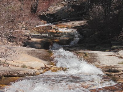
Looking for more outdoor adventures? Explore waterfall hikes near Roper Lake State Park Hot Spring, Arizona.