Warm Spring
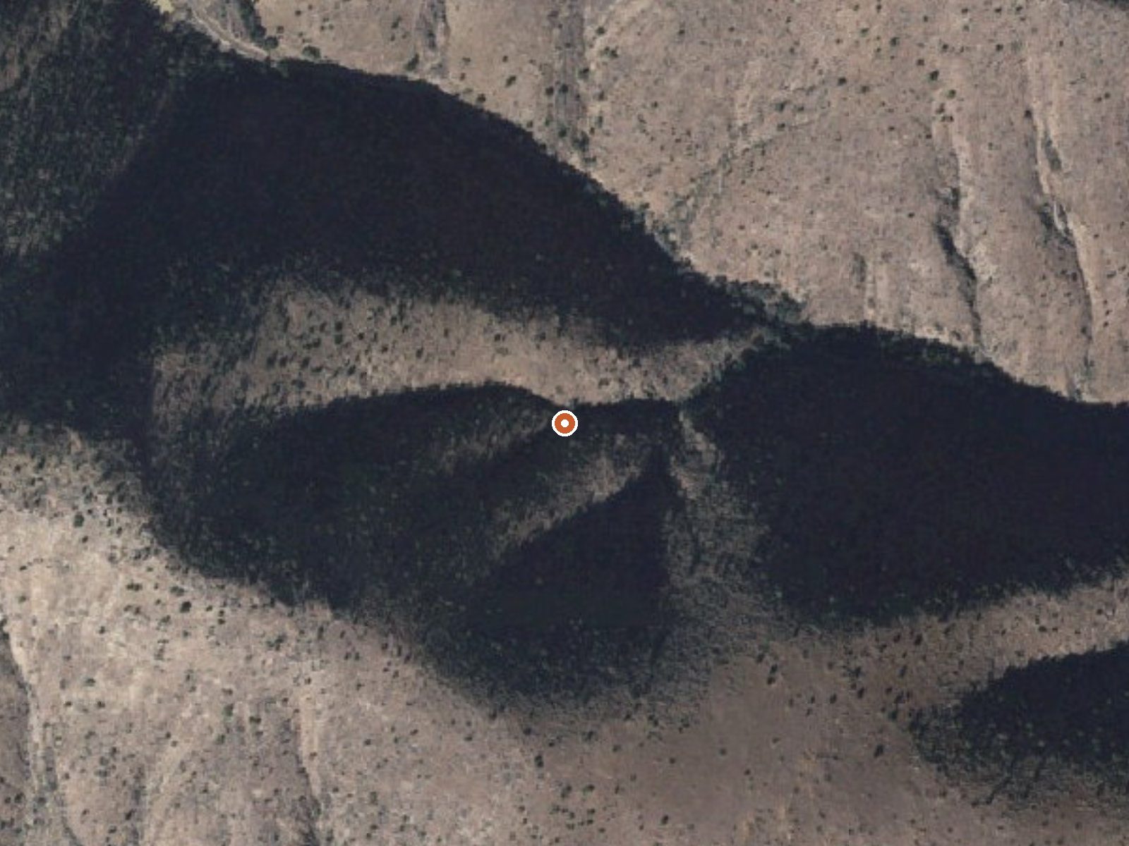
The orange dot marks the spring, in a frame about three quarters of a mile wide.
Warm Spring in Greenlee County, about nine miles from Morenci. Public land, BLM Safford Field Office, open to the public. Tepid water, about what a swimming pool runs in summer. The spring lies about five hundred feet off Black River Road.
A bit over 3,600 feet, with rain around eleven inches and snow a few. Black River Road, then a very short walk. No designation beyond public land, and no fee noted. Riverview Campground is twelve miles away. Temperatures average on the cool side of the low sixties, and nothing on file says anything about a fee.
Midwinter, per the record. Open access, barely a walk. Riverview for camping at twelve miles. The USGS lists it; no chemistry on file and no photo. Beyond the name Black River Road, nothing about the approach is written down. Temperature is tepid and there is nothing else measured, so do not drive out for a hot soak.
USGS hasn't flown a detailed laser scan here yet, so this view comes from aerial photos and older elevation data.
- Setting
- Canyon floor
- Steep ground climbs away on both sides of the spring.
- Highest ground nearby
- 647 ft above the spring
- Within a quarter mile, to the west
A slice through the ground from north to south, about 0.6 miles end to end.
Elevation data: USGS 3D Elevation Program. Aerial imagery: USGS The National Map. Public domain.
That's about 1½ times the US average of 65. It's higher than at 33% of the springs on this site.
Heat flow measures the warmth working its way up through the ground from deep inside the earth. Where it runs high, rain and snowmelt that seep down through cracks in the rock come back up hot.
See every spring on the geothermal heat map →
Heat flow estimate: Stanford Thermal Earth Model (Aljubran & Horne, 2024), CC BY 4.0.
Some links are affiliate links. We may earn a commission at no extra cost to you.
Riverview Campground offers a fantastic camping experience in the Gila Box Riparian National Conservation Area and is a short drive from Safford, Arizona. It is situated on a northern bench overlooking the Gila River and is surrounded by various day use sites along the river. There are 13 first come, first served campsites at Riverview Campground. Each site has picnic tables, fire rings, grills, and shade structures. The campsites were recently enlarged to improve access for trailers and RVs....
Warm Spring is road-accessible, so you can bring more gear.




As an Amazon Associate, we earn from qualifying purchases.
Springs Near Warm Spring
More Springs Around 73°F
Hike 3 waterfalls near Warm Spring
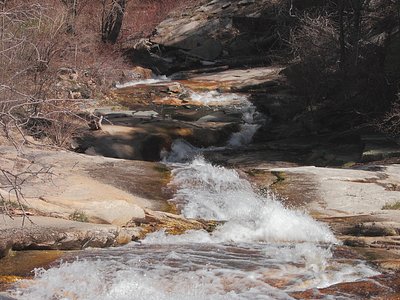
Looking for more outdoor adventures? Explore waterfall hikes near Warm Spring, Arizona.