Caine Spring
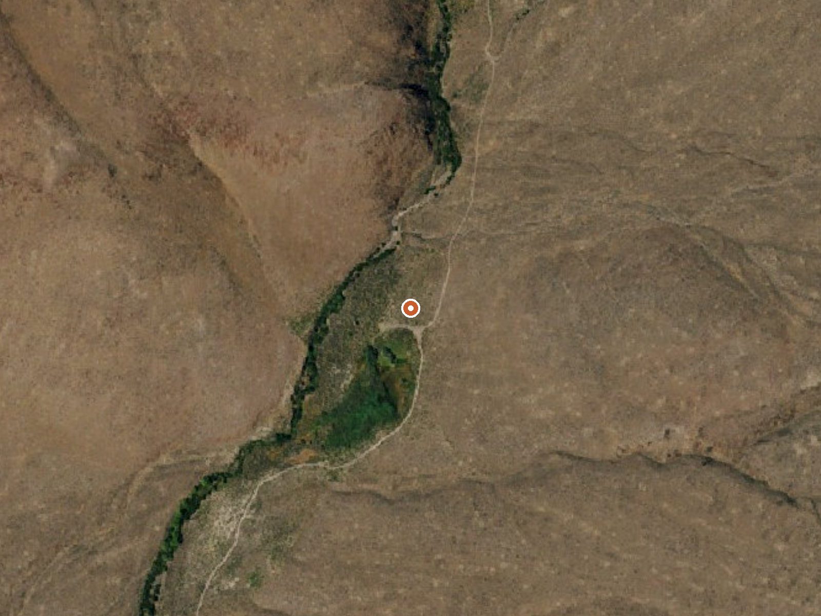
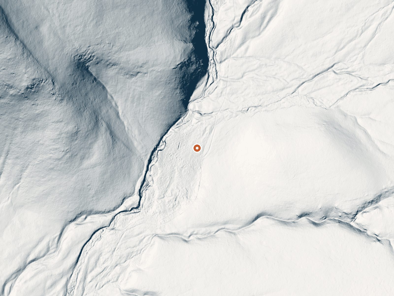
Drag the handle to compare the two views. The orange dot marks the spring, in a frame about three quarters of a mile wide.
Caine Spring is barely warm, a spring on federal land in Pershing County managed by the BLM, roughly seventy-two miles from Lovelock. Temperature on file is in the low seventies, cooler than a swimming pool on a hot day, so this is a water source and a map point more than a soak. The USGS carries it as a monitored point and access is open.
Barley Road passes about a hundred and twenty-five feet from the spring, so it is roadside. Elevation runs a little under forty-eight hundred feet, dry basin country with nine inches of yearly precipitation and a bit under two feet of snow. This is Black Rock Field Office ground under the BLM.
The record lists the cold months as best, which for water this cool says more about the desert than the water. Public land, roadside, nothing about a fee. No camping is recorded close by. What is on file is a survey reading; in summer air it will not feel warm.
Aircraft with laser scanners measured this ground to within inches. The scan strips out trees and buildings, leaving the bare shape of the land around Caine Spring.
- Setting
- Valley floor
- Gentle slopes rise on both sides.
- Highest ground nearby
- 183 ft above the spring
- Within a quarter mile, to the north
A slice through the ground from north to south, about 0.6 miles end to end.
Elevation data: USGS 3D Elevation Program. Aerial imagery: USGS The National Map. Public domain.
That's about 1½ times the US average of 65. It's higher than at 21% of the springs on this site.
Heat flow measures the warmth working its way up through the ground from deep inside the earth. Where it runs high, rain and snowmelt that seep down through cracks in the rock come back up hot.
See every spring on the geothermal heat map →
Heat flow estimate: Stanford Thermal Earth Model (Aljubran & Horne, 2024), CC BY 4.0.