Fly Ranch (Wards) Hot Springs
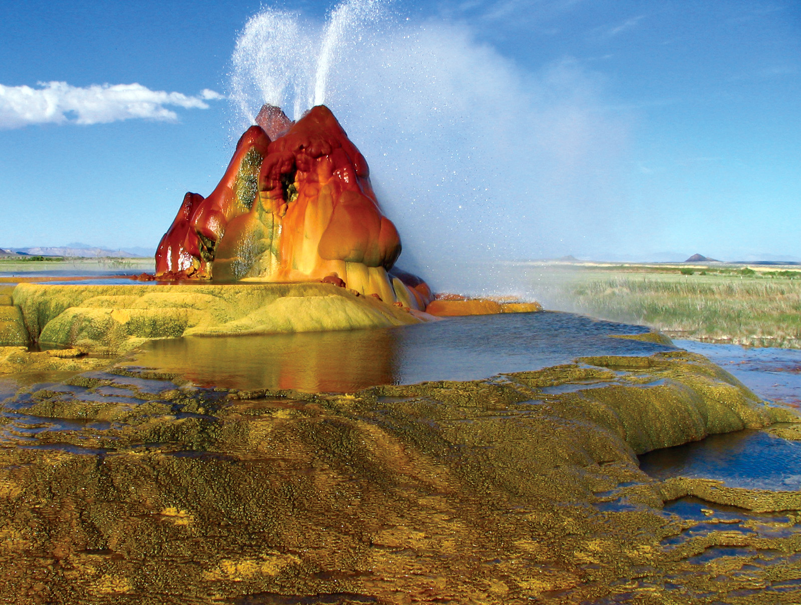
Fly Ranch (Wards) Hot Springs is the scalding source on the private Fly Ranch. The database puts it in Pershing County, nearly 65 miles from Lovelock; the Wikipedia article on Fly Geyser places the ranch in Washoe County about 20 miles north of Gerlach. The water comes out hot enough to cook in. The Burning Man Project bought the ranch in 2016.
The nearest road stops some 500 yards short, and the rest is on foot, on private ground. High desert with dry years and light winter snow. The record lists no land unit, and access status is blank. Being the Burning Man Project's land, entry is theirs to grant. Wikipedia places the geyser near the edge of Fly Reservoir in the Hualapai Geothermal Flats.
Winter is the listed season. Do not walk onto the ranch without permission; it is private. The water will scald, so do not put a hand in it. USGS took the temperature reading. No fee or campground is recorded. The only way in is through the owners.
Wikipedia describes Fly Geyser, also called Fly Ranch Geyser, as a small geothermal geyser on private land, about five feet high and twelve wide counting its mound. In June 2016 the non-profit Burning Man Project bought the 3,800 acre Fly Ranch, geyser included, for $6.5 million.
Aircraft with laser scanners measured this ground to within inches. The scan strips out trees and buildings, leaving the bare shape of the land around Fly Ranch (Wards) Hot Springs.
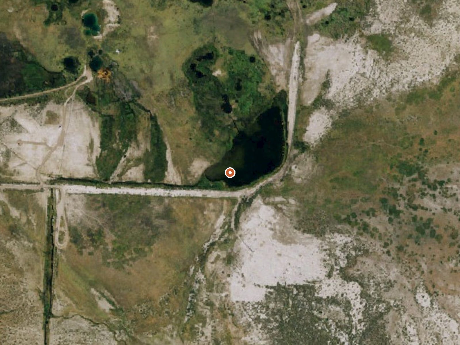
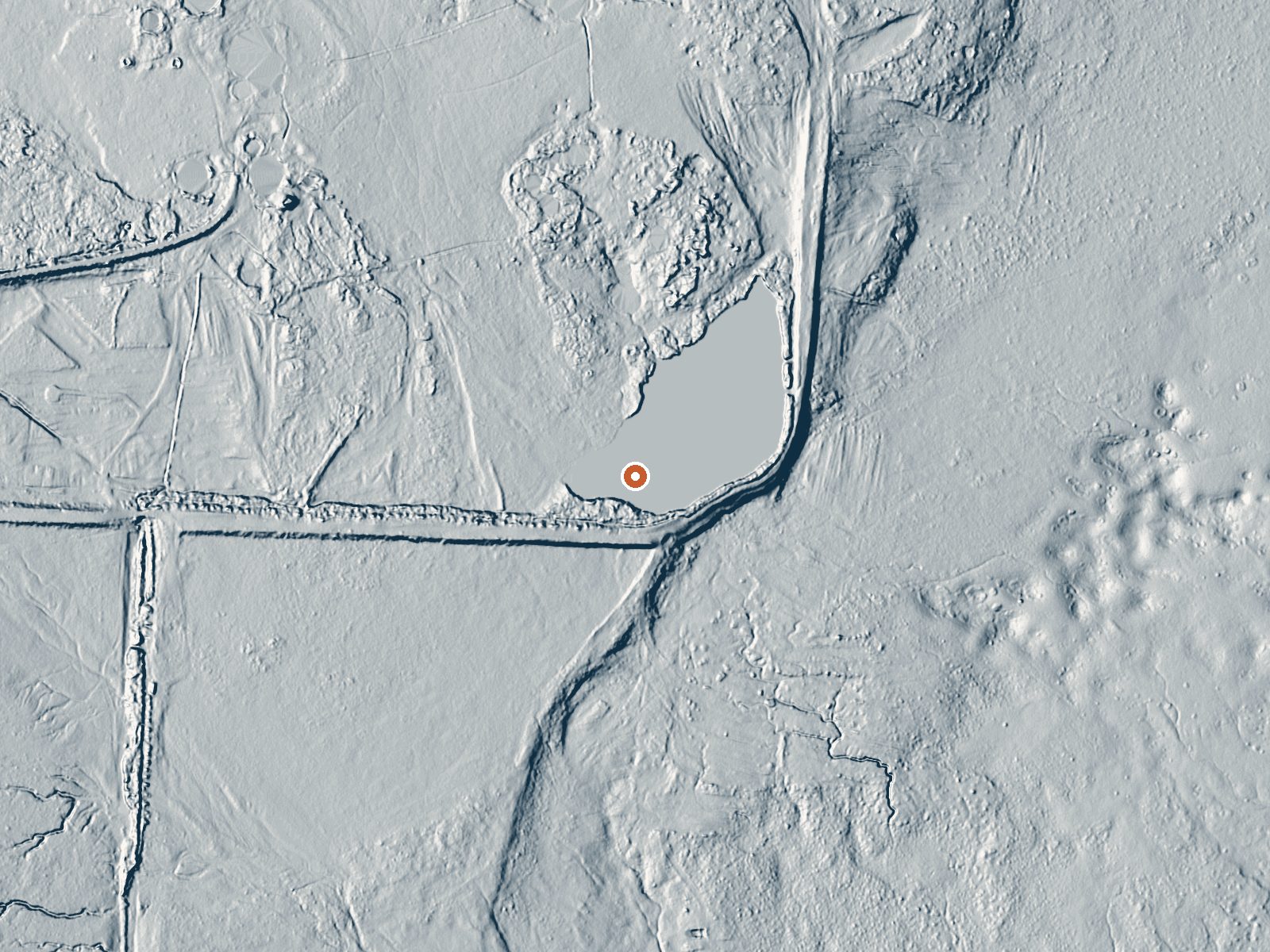
Drag the handle to compare the two views. The orange dot marks the spring, in a frame about three quarters of a mile wide.
- Setting
- Open ground
- Flat, open ground all around.
- Highest ground nearby
- 13 ft above the spring
- Within a quarter mile, to the north
A slice through the ground from southwest to northeast, about 0.6 miles end to end.
Elevation data: USGS 3D Elevation Program. Aerial imagery: USGS The National Map. Public domain.
Landsat's thermal camera passed over on a clear winter day, December 14, 2022. This spring's heat shows up from about 440 miles up. The brightest yellow marks the warmest ground, roughly 11°F warmer than the land around it.
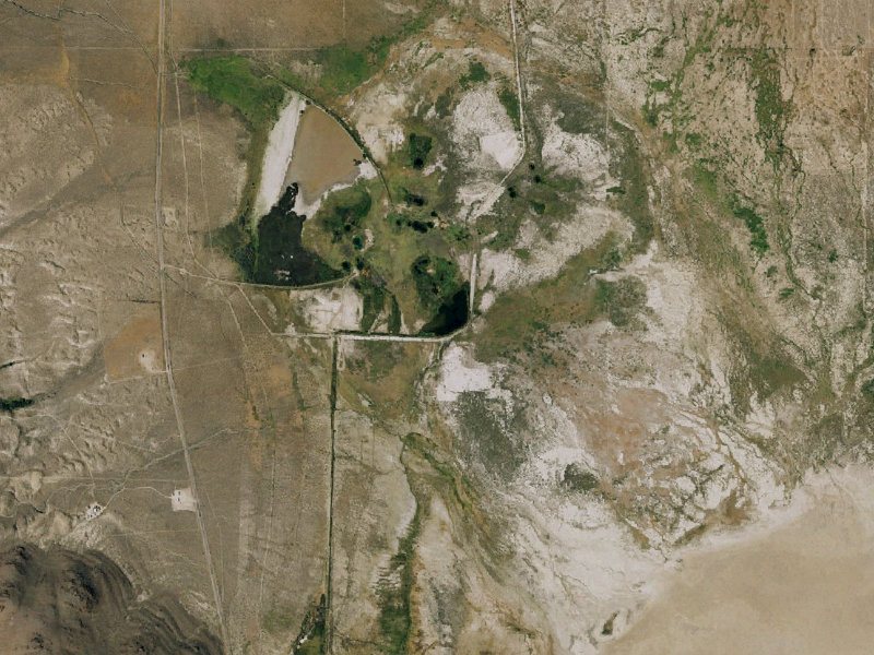
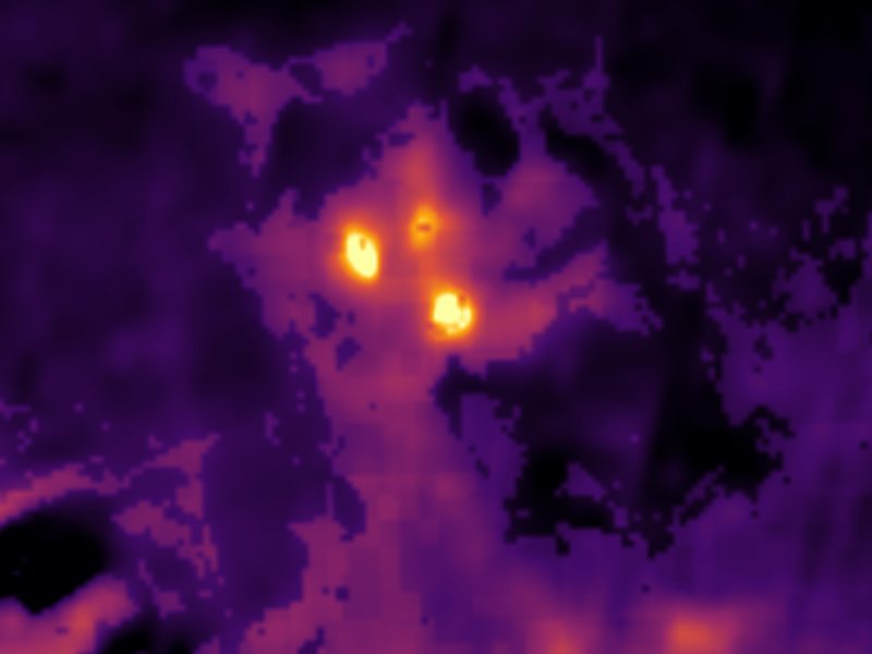
Drag to compare. The view is about 2½ miles across, and each thermal pixel covers roughly 300 feet of ground, so individual pools blur into one warm patch.
Thermal: Landsat 8/9 surface temperature, USGS (public domain), via Microsoft Planetary Computer. Aerial: USGS The National Map. More springs seen from space.
That's about 1½ times the US average of 65. It's higher than at 31% of the springs on this site.
Heat flow measures the warmth working its way up through the ground from deep inside the earth. Where it runs high, rain and snowmelt that seep down through cracks in the rock come back up hot.
See every spring on the geothermal heat map →
Heat flow estimate: Stanford Thermal Earth Model (Aljubran & Horne, 2024), CC BY 4.0.
Some links are affiliate links. We may earn a commission at no extra cost to you.
Fly Ranch (Wards) Hot Springs is road-accessible, so you can bring more gear. The water is dangerously hot, so bring water shoes and test pools carefully.





As an Amazon Associate, we earn from qualifying purchases.