Big Bend, California
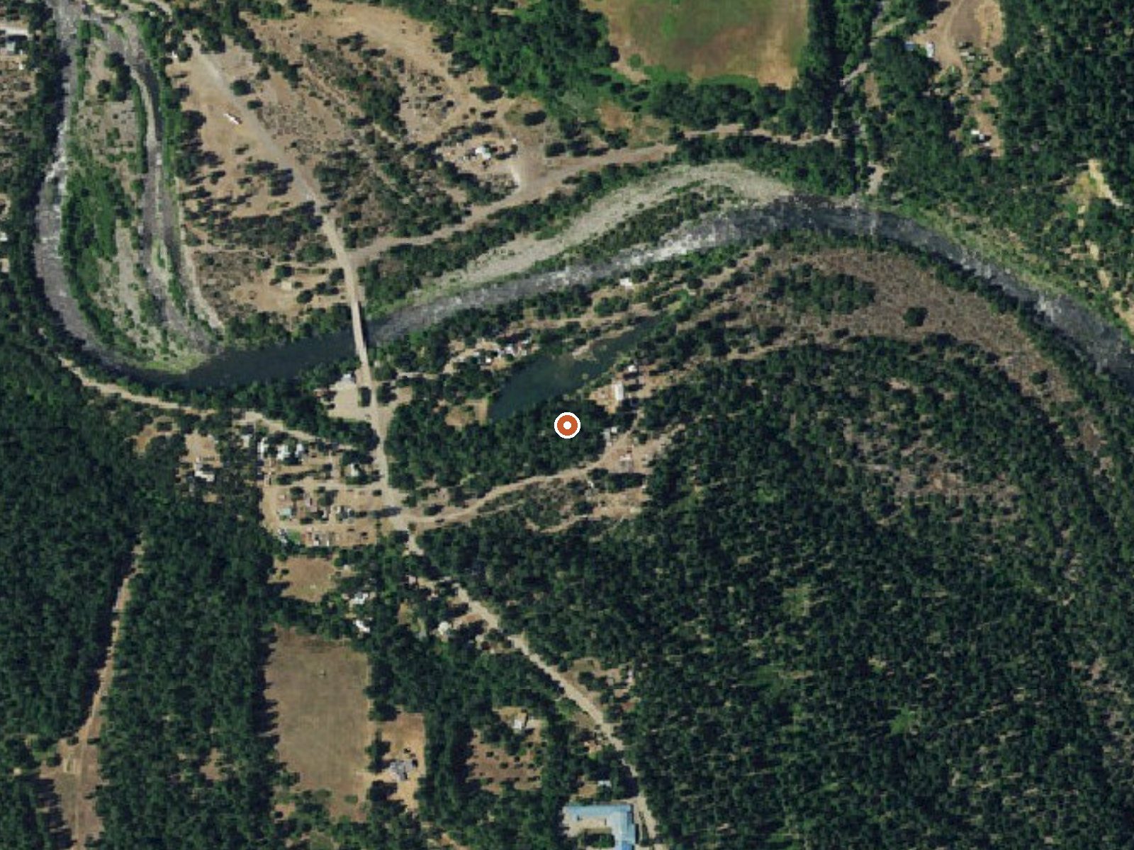
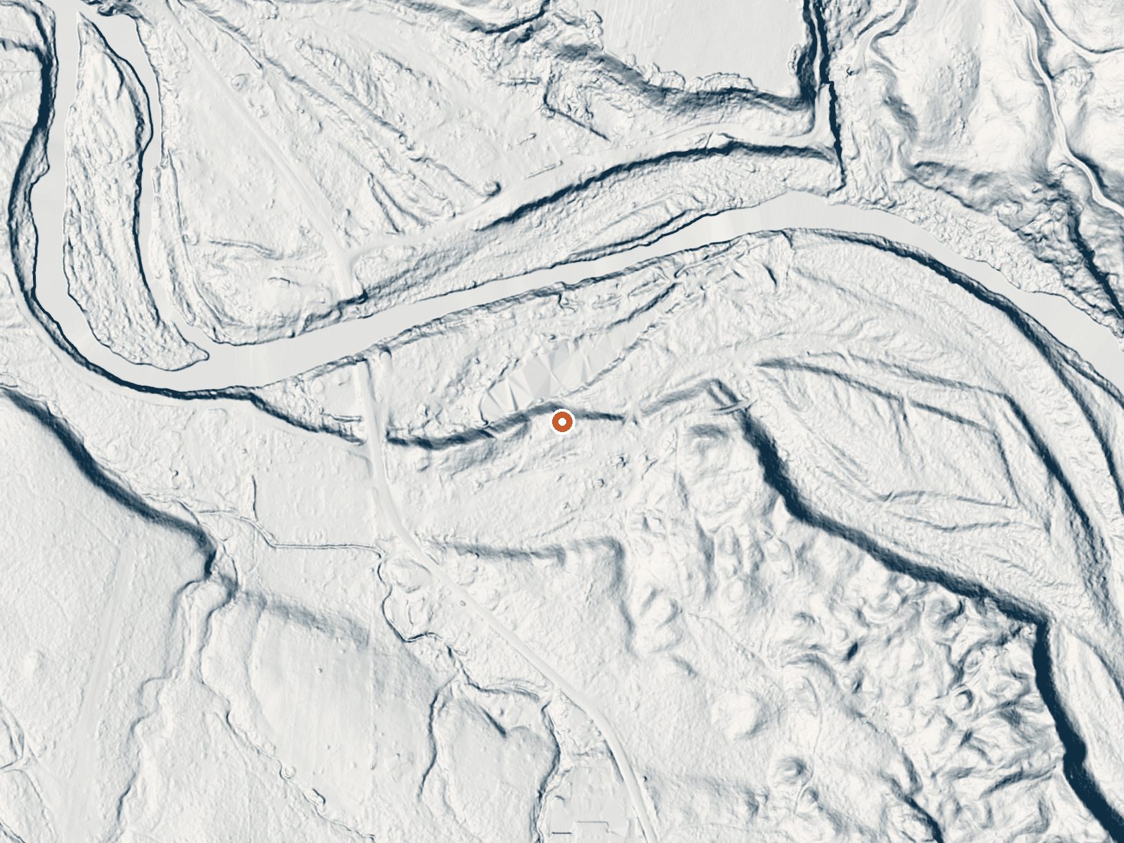
Drag the handle to compare the two views. The orange dot marks the spring, in a frame about three quarters of a mile wide.
Big Bend, California is a small community in Shasta County, about sixteen miles from Burney, and what the record holds is a settlement, with no measured spring attached. No temperature is on file, so nothing here tells you whether there is hot water to sit in. The mapped point is roadside, a hundred and thirty feet from an unnamed road. Land ownership and access are blank.
The settlement sits around seventeen hundred feet in the Pit River country of Shasta County. Winters here are wet, about fifty inches of precipitation a year, and snowy, with over five feet in a normal season. There is no park or forest unit attached to this point in the record.
The record gives no best months, because no water temperature exists to plan around. Camp 4 Group Campground is the nearest camping on file, roughly fifteen miles away. Before treating this as a hot spring destination, confirm that there is a spring at all and who owns it; the record is silent on both.
Wikipedia describes Big Bend of the Madesi Valley as the indigenous homeland of the Madesi tribe, named for a major change of course in the Pit River. The 2020 census counted seventy-nine people, down from 102 a decade earlier.
Aircraft with laser scanners measured this ground to within inches. The scan strips out trees and buildings, leaving the bare shape of the land around Big Bend, California.
- Setting
- Open ground
- Flat, open ground all around.
- Highest ground nearby
- 47 ft above the spring
- Within a quarter mile, to the southeast
A slice through the ground from northwest to southeast, about 0.6 miles end to end.
Elevation data: USGS 3D Elevation Program. Aerial imagery: USGS The National Map. Public domain.
That's about twice the US average of 65. It's higher than at 70% of the springs on this site.
Heat flow measures the warmth working its way up through the ground from deep inside the earth. Where it runs high, rain and snowmelt that seep down through cracks in the rock come back up hot.
See every spring on the geothermal heat map →
Heat flow estimate: Stanford Thermal Earth Model (Aljubran & Horne, 2024), CC BY 4.0.
Some links are affiliate links. We may earn a commission at no extra cost to you.
Overview This group site is nestled in the Shasta-Trinity National Forest on the Upper McCloud River, popular for its three stunning waterfalls.Camp 4 is typically open from mid-spring through mid-fall, offering primitive accommodations near a variety of recreational activities and magnificent scenery.Note: This is not Camp 4 in Yosemite National Park. Learn more about the Camp 4 daily lottery in Yosemite National Park. Recreation During the late spring, summer and early fall, the McCloud Riv...
Big Bend, California is road-accessible, so you can bring more gear.






As an Amazon Associate, we earn from qualifying purchases.
Springs Near Big Bend, California
Hike 6 waterfalls near Big Bend, California
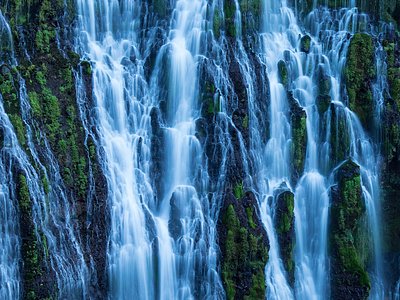
Looking for more outdoor adventures? Explore waterfall hikes near Big Bend, California, California.