Hot Springs
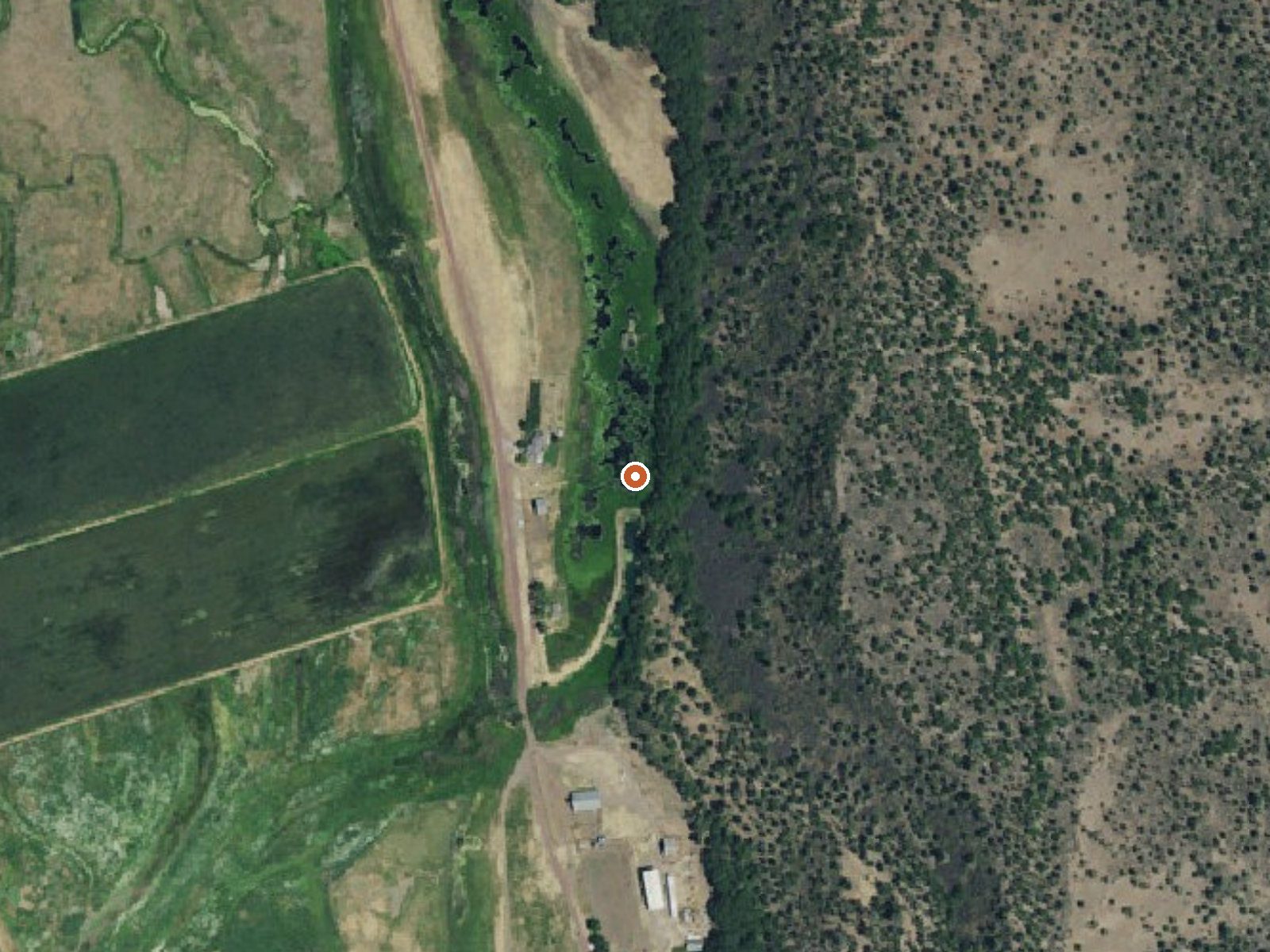
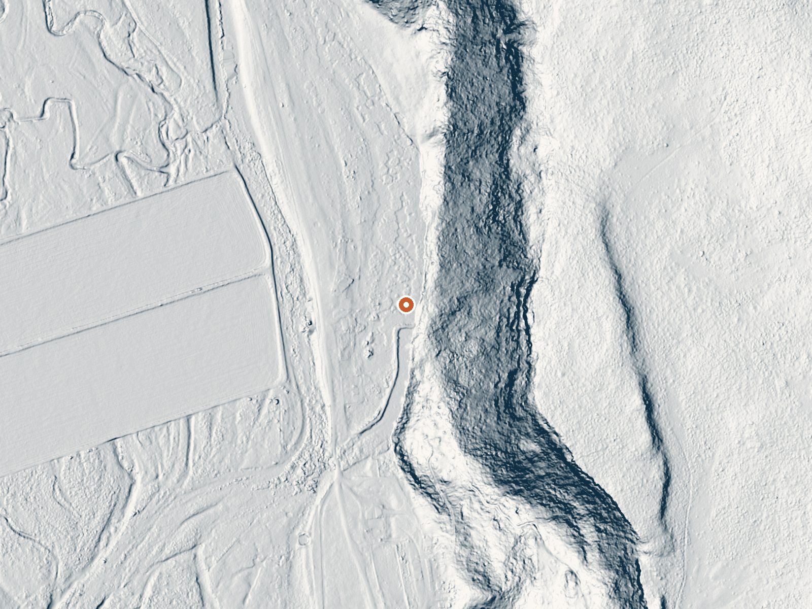
Drag the handle to compare the two views. The orange dot marks the spring, in a frame about three quarters of a mile wide.
An unadorned Hot Springs on the map in Shasta County, near Pit River Canyon Road and about twenty-two miles from Burney. The record tags it hot with no measured temperature, so nothing here can tell you if a soak is possible. Nothing is entered for land owner or for access, and no image is on file.
Pit River Canyon Road lies a few hundred feet away; that is the whole walk. Elevation is a little above three thousand feet. Annual snow is moderate and rainfall middling. The record names no land unit, so its land status is unknown. Pit River Campground sits about twelve miles off.
No best-months figure exists for this one. With no temperature on file, do not assume the water can be entered; it is logged as hot, and that label covers a wide range. Pit River Campground is the camping on record. Confirm ownership before walking in from the road, and expect to find out most of what matters on the ground.
Aircraft with laser scanners measured this ground to within inches. The scan strips out trees and buildings, leaving the bare shape of the land around Hot Springs.
- Setting
- Hillside
- The spring sits on a steep slope that climbs to the east.
- Highest ground nearby
- 369 ft above the spring
- Within a quarter mile, to the east
A slice through the ground from west to east, about 0.6 miles end to end.
Elevation data: USGS 3D Elevation Program. Aerial imagery: USGS The National Map. Public domain.
That's about 1½ times the US average of 65. It's higher than at 19% of the springs on this site.
Heat flow measures the warmth working its way up through the ground from deep inside the earth. Where it runs high, rain and snowmelt that seep down through cracks in the rock come back up hot.
See every spring on the geothermal heat map →
Heat flow estimate: Stanford Thermal Earth Model (Aljubran & Horne, 2024), CC BY 4.0.
The Pit River Recreation area is adjacent to the Pit River, has a small campground with eight campsites with tables, metal firerings, and barbeque pits. Amenities include: two single wheelchair accessible restrooms, a kayak launch ramp, and an accessible fishing pier. Camping:$8.00/night
Springs Near Hot Springs
Hike 6 waterfalls near Hot Springs

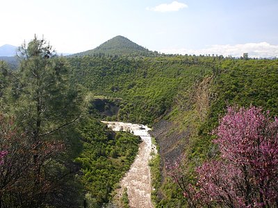
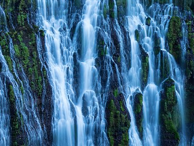
Looking for more outdoor adventures? Explore waterfall hikes near Hot Springs, California.