Hot Spot
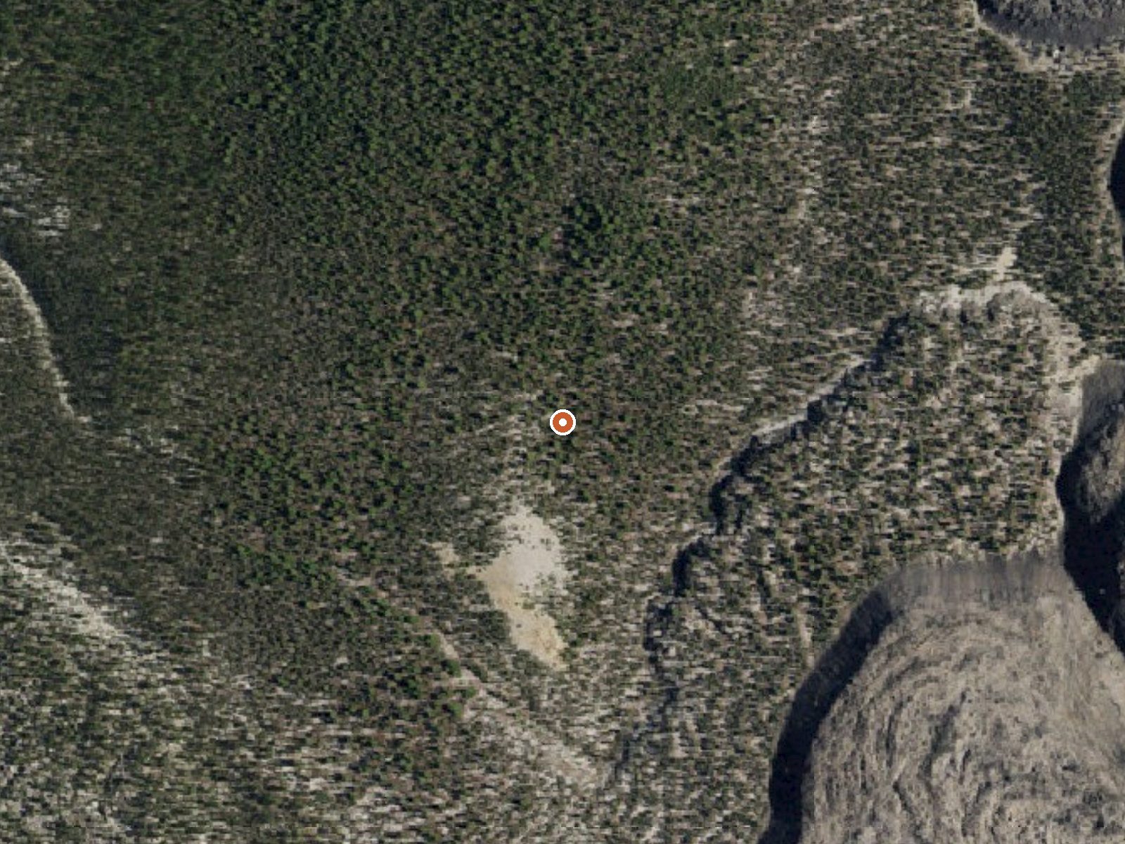
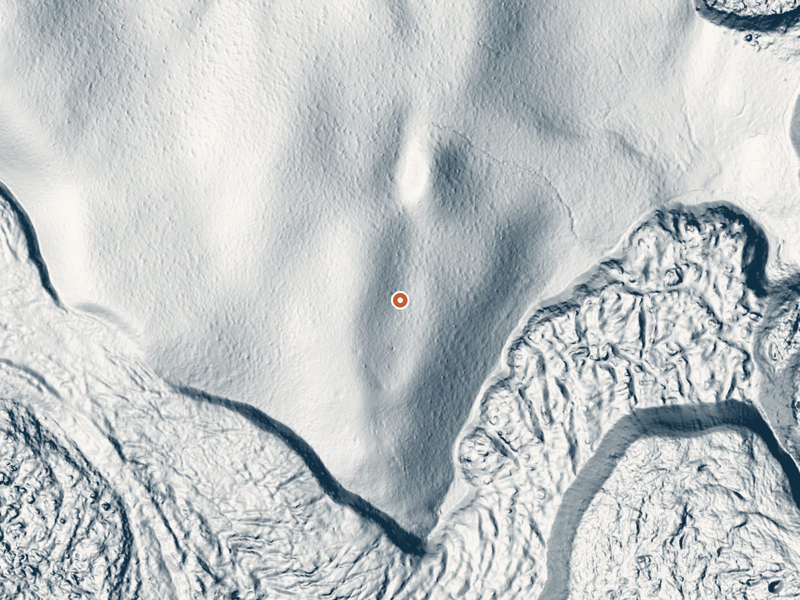
Drag the handle to compare the two views. The orange dot marks the spring, in a frame about three quarters of a mile wide.
The name is Hot Spot and the temperature backs it up. This is a scalding vent in the Modoc National Forest, Siskiyou County, twenty-some miles from Tulelake, high enough that it spends a good part of the year under snow. The land is Forest Service and public access is listed as Open. Nobody should be soaking here. The water comes out close to boiling.
The walk from the nearest road is under half a mile. Which road goes unrecorded. Elevation is a little over seven thousand feet, and the winters are serious: ten feet of snow in an ordinary year, with close to thirty inches of precipitation overall. Camping: Medicine Lake Recreation Area, three and a half miles off.
Midwinter, December through February, is what the record lists as the best time, which at this snow load makes a visit its own problem, and the record does not say how people reach it in that season. Keep well back from the water. It scalds instantly. No fee appears on file. No water chemistry exists for it.
Aircraft with laser scanners measured this ground to within inches. The scan strips out trees and buildings, leaving the bare shape of the land around Hot Spot.
- Setting
- Hillside
- The spring sits on a steep slope that climbs to the northwest.
- Highest ground nearby
- 79 ft above the spring
- Within a quarter mile, to the northwest
A slice through the ground from northwest to southeast, about 0.6 miles end to end.
Elevation data: USGS 3D Elevation Program. Aerial imagery: USGS The National Map. Public domain.
That's about 1½ times the US average of 65. It's higher than at 45% of the springs on this site.
Heat flow measures the warmth working its way up through the ground from deep inside the earth. Where it runs high, rain and snowmelt that seep down through cracks in the rock come back up hot.
See every spring on the geothermal heat map →
Heat flow estimate: Stanford Thermal Earth Model (Aljubran & Horne, 2024), CC BY 4.0.
Overview The popular Medicine Lake Recreation Area and adjacent Medicine Lake are located in the Medicine Lake Highlands in northeastern California. The Recreation Area is located in the Modoc National Forest at an elevation of 6,770 feet.Recreation The Medicine Lake Recreation Area offers camping, boating, fishing and swimming. The adjacent Day Use Areas accommodate boating with a concrete boat ramp and dock. Swimming is available in a designated swimming area next to the Picnic Area. Hi...
Hot Spot sits at 7,078 feet above sea level, way above the mile-high mark. You may not feel the altitude strongly, but hot water still dehydrates you faster at elevation. UV is about 28% stronger than at sea level, so bring sunscreen and drink more water than you normally would.



As an Amazon Associate, we earn from qualifying purchases.
Springs Near Hot Spot
More Springs Around 191°F
Hike 6 waterfalls near Hot Spot
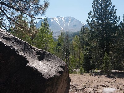
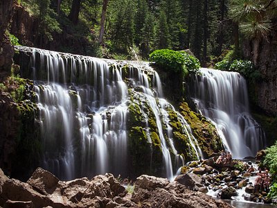
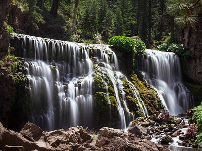
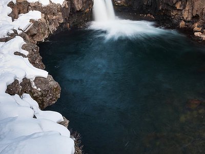
Looking for more outdoor adventures? Explore waterfall hikes near Hot Spot, California.