Paoha Island Springs
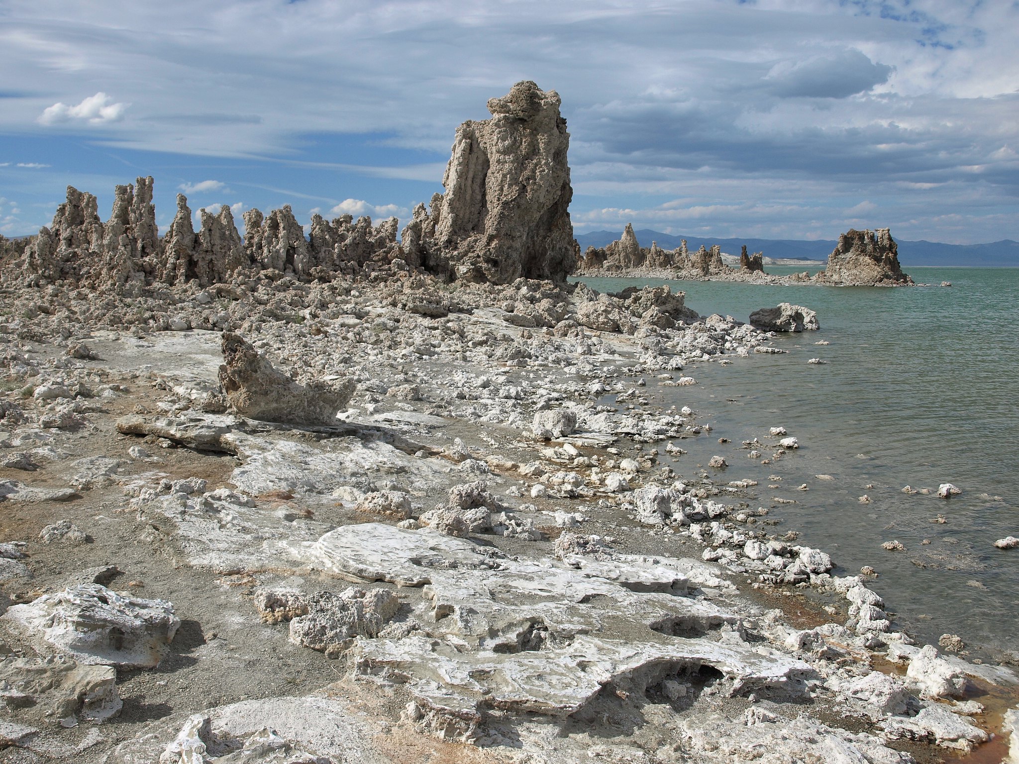
Paoha Island Springs is a scalding thermal feature in Mono County, with water that comes out far above bath temperature, hot enough to cook. The land is held by the Los Angeles Department of Water and Power and access is on record as open. Bridgeport is the nearest town, around twenty miles away. The springs are reached on foot, a hike of close to three miles from the nearest road.
Getting there means walking in across ground the record does not describe. The elevation is high basin country, above six thousand feet, and winters drop several feet of snow. Summers are dry. The land is city-owned, a Los Angeles Department of Water and Power holding, and no road is named in the file. Lower Virginia Creek Primitive Campground is about twelve miles away.
Do not get in this water. At the recorded temperature it will scald skin on contact. The listed season is winter, which at this elevation and snowfall is a strange recommendation; the hike in will be snowbound most of those months, so judge the timing yourself. The water was sampled in 2018. Access is open per the record, and no fee is listed.
Aircraft with laser scanners measured this ground to within inches. The scan strips out trees and buildings, leaving the bare shape of the land around Paoha Island Springs.
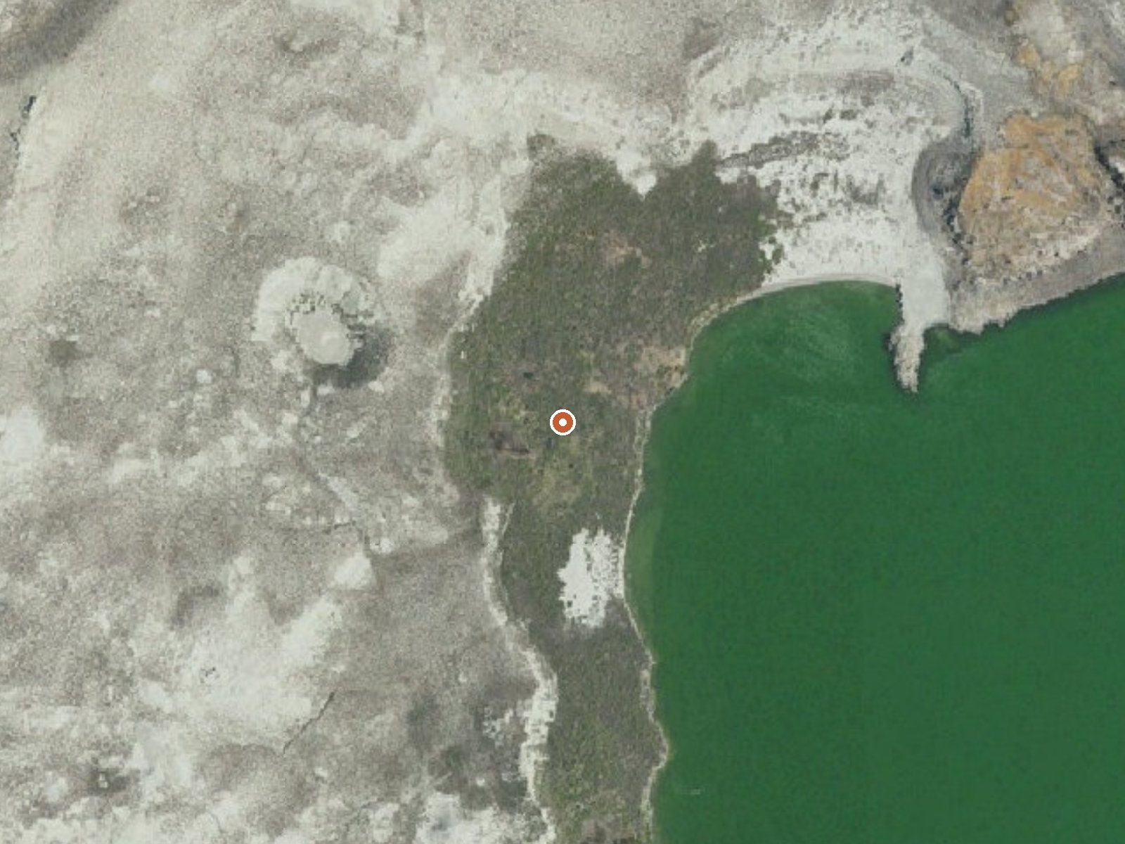
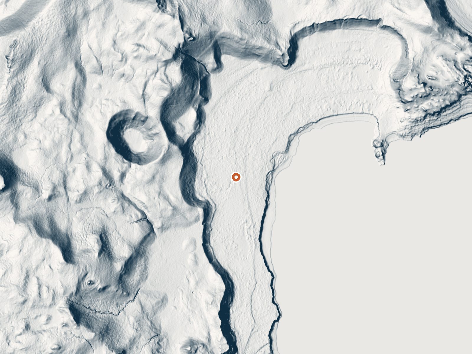
Drag the handle to compare the two views. The orange dot marks the spring, in a frame about three quarters of a mile wide.
- Setting
- Gentle slope
- The ground tilts gently up to the north.
- Highest ground nearby
- 193 ft above the spring
- Within a quarter mile, to the north
A slice through the ground from northwest to southeast, about 0.6 miles end to end.
Elevation data: USGS 3D Elevation Program. Aerial imagery: USGS The National Map. Public domain.
That's about twice the US average of 65. It's higher than at 81% of the springs on this site.
Heat flow measures the warmth working its way up through the ground from deep inside the earth. Where it runs high, rain and snowmelt that seep down through cracks in the rock come back up hot.
See every spring on the geothermal heat map →
Heat flow estimate: Stanford Thermal Earth Model (Aljubran & Horne, 2024), CC BY 4.0.
Some links are affiliate links. We may earn a commission at no extra cost to you.
Rustic campsites with fire rings in Jeffrey Pine Forest. There is no trash service please pack out your trash.
Paoha Island Springs sits at 6,388 feet above sea level, way above the mile-high mark. You may not feel the altitude strongly, but hot water still dehydrates you faster at elevation. UV is about 26% stronger than at sea level, so bring sunscreen and drink more water than you normally would.



As an Amazon Associate, we earn from qualifying purchases.
Paoha Island Springs is road-accessible, so you can bring more gear. The water is dangerously hot, so bring water shoes and test pools carefully.





As an Amazon Associate, we earn from qualifying purchases.
Springs Near Paoha Island Springs
More Springs Around 181°F
Hike 6 waterfalls near Paoha Island Springs
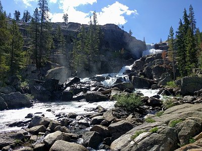
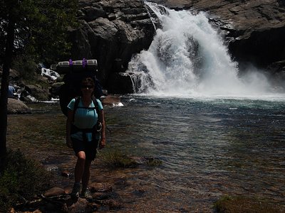
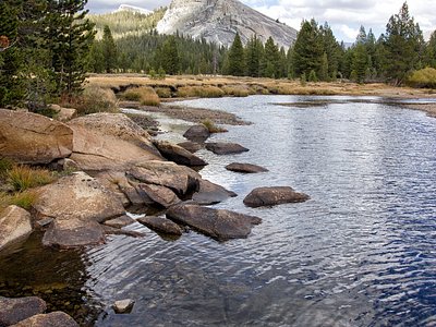
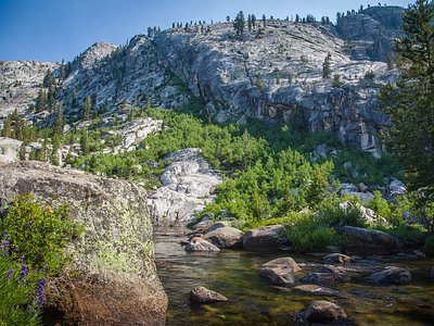
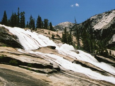
Looking for more outdoor adventures? Explore waterfall hikes near Paoha Island Springs, California.