Boundary Creek Hot Springs
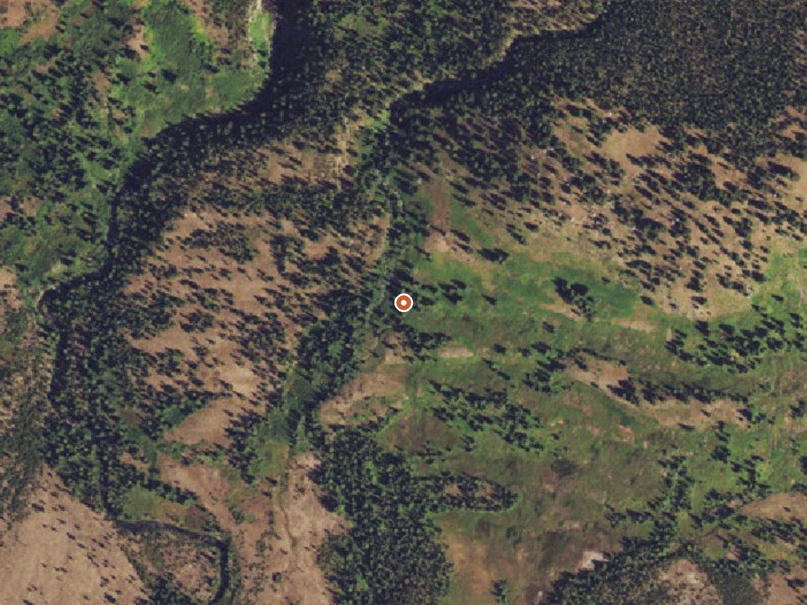
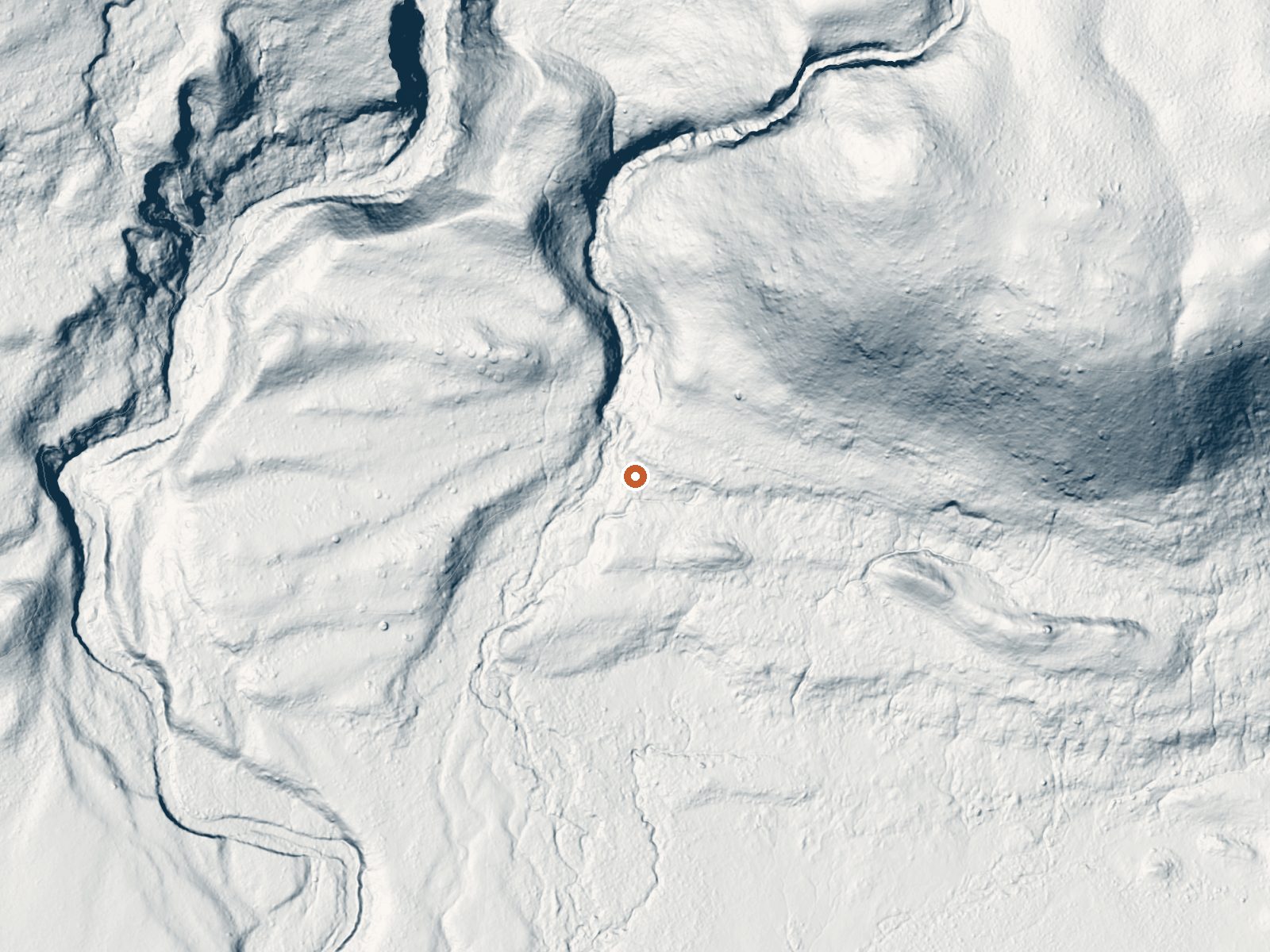
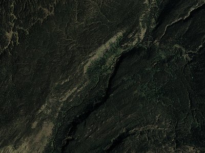
Drag the handle to compare the two views. The orange dot marks the spring, in a frame about three quarters of a mile wide.
Boundary Creek Hot Springs is a backcountry thermal spring in a remote part of Yellowstone National Park, thirty-five miles from West Yellowstone by the record's reckoning. The water is listed at 181 degrees, well past scalding. Reaching it means a hike of close to four miles from the nearest road. Access is open, in the sense that the park is public; the heat means you will not be getting in.
Snowfall on record is enormous, more than eighteen feet in a season, and the annual precipitation runs over three and a half feet. Elevation is around 6,600 feet. The nearest road is almost four miles away and unnamed in the record. Cave Falls Campground is the closest camping listed, about eight miles off.
The record ranks the winter months highest; with this much snow, the hike in is a summer proposition. Scalding water, keep hands out. Cave Falls Campground is the listed camping. No fee on record, no chemistry, no temperature date.
Aircraft with laser scanners measured this ground to within inches. The scan strips out trees and buildings, leaving the bare shape of the land around Boundary Creek Hot Springs.
- Setting
- Hillside
- The spring sits on a steep slope that climbs to the northeast.
- Highest ground nearby
- 406 ft above the spring
- Within a quarter mile, to the northeast
A slice through the ground from southwest to northeast, about 0.6 miles end to end.
Elevation data: USGS 3D Elevation Program. Aerial imagery: USGS The National Map. Public domain.
That's about 1½ times the US average of 65. It's higher than at 57% of the springs on this site.
Heat flow measures the warmth working its way up through the ground from deep inside the earth. Where it runs high, rain and snowmelt that seep down through cracks in the rock come back up hot.
See every spring on the geothermal heat map →
Heat flow estimate: Stanford Thermal Earth Model (Aljubran & Horne, 2024), CC BY 4.0.
This campgrond is situated on the banks of Fall River in Wyoming along the south border of Yellowstone National Park. Cave Falls Campground has 23 single site units and a terrific area for fishing. Each campsite has fire rings, grills and picnic tables. Located throughout the campground are vault toilets, water faucets, bear proof storage boxes, and a dumpster. The campground is located in grizzly bear habitat that requires special precautions be taken with food storage.
Boundary Creek Hot Springs sits at 6,575 feet above sea level, way above the mile-high mark. You may not feel the altitude strongly, but hot water still dehydrates you faster at elevation. UV is about 26% stronger than at sea level, so bring sunscreen and drink more water than you normally would.



As an Amazon Associate, we earn from qualifying purchases.
Springs Near Boundary Creek Hot Springs
More Springs Around 181°F
Hike 6 waterfalls near Boundary Creek Hot Springs
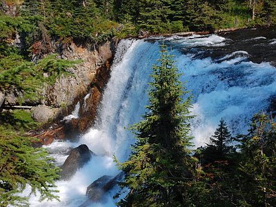
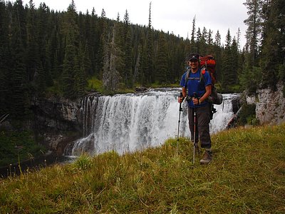
Looking for more outdoor adventures? Explore waterfall hikes near Boundary Creek Hot Springs, Wyoming.