Sulphur Springs
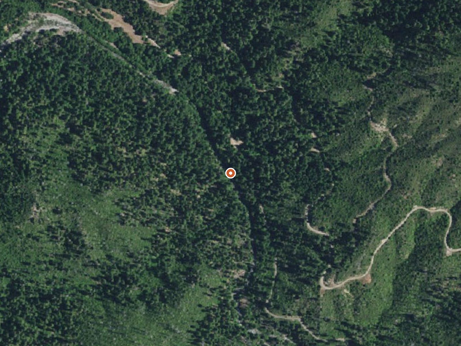
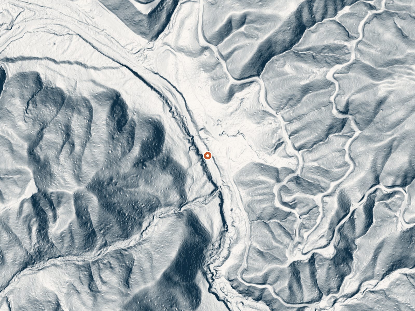
Drag the handle to compare the two views. The orange dot marks the spring, in a frame about three quarters of a mile wide.
Sulphur Springs in Siskiyou County is a warm seep on Klamath National Forest land, open to the public, eleven miles out of Happy Camp. The water is lukewarm, below body temperature, so a dip will feel like a cool bath. It lies a couple hundred feet from Elk Creek Road.
Mid-elevation forest around 2,100 feet, with heavy winter rain and a serious snow load, something like 78 inches a year. Elk Creek Road passes within a short walk. The Forest Service manages the land and lists it as open. Curly Jack Campground is the nearest camp, around nine and a half miles off.
December through February come up as the best months, an odd pairing with the snow here, so check that Elk Creek Road is passable first. Roadside access. Camp at Curly Jack if you want to stay over. No fee is recorded. The water is on the cool side for soaking, so set expectations.
Aircraft with laser scanners measured this ground to within inches. The scan strips out trees and buildings, leaving the bare shape of the land around Sulphur Springs.
- Setting
- Canyon floor
- Steep ground climbs away on both sides of the spring.
- Highest ground nearby
- 521 ft above the spring
- Within a quarter mile, to the east
A slice through the ground from west to east, about 0.6 miles end to end.
Elevation data: USGS 3D Elevation Program. Aerial imagery: USGS The National Map. Public domain.
That's about 1½ times the US average of 65. It's higher than at 54% of the springs on this site.
Heat flow measures the warmth working its way up through the ground from deep inside the earth. Where it runs high, rain and snowmelt that seep down through cracks in the rock come back up hot.
See every spring on the geothermal heat map →
Heat flow estimate: Stanford Thermal Earth Model (Aljubran & Horne, 2024), CC BY 4.0.
Overview Curly Jack Campground is situated along the Klamath Wild and Scenic River near the town of Happy Camp. Visitors enjoy whitewater boating and fishing on the river, and exploring local hiking trails.Recreation Fishing, birding, hiking and whitewater boating are popular options, as is scenic driving along the State of Jefferson Scenic Byway. Visitors can access a Class III section of the Klamath River from the campground. The campsite is a put-in and take-out point for whitewater rafti...
Springs Near Sulphur Springs
More Springs Around 84°F
Hike 6 waterfalls near Sulphur Springs
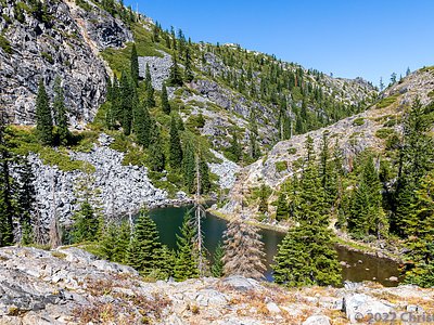
Looking for more outdoor adventures? Explore waterfall hikes near Sulphur Springs, California.