Tassajara Hot Springs
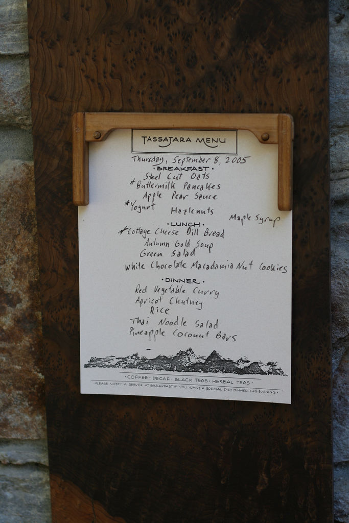
Tassajara Hot Springs is a group of natural hot springs in the Ventana Wilderness, Monterey County, on Los Padres National Forest land, eighteen miles or so from Soledad. The source water is scalding, well past the point where it burns skin, far too hot to enter without cooling. Resorts have operated here in one form or another since 1868. Access is open on record.
A few hundred yards from a route listed as Tassajara Path. Around two thousand feet, in the Santa Lucia Range, with twenty-three inches of rain and an inch of snow in a typical year. The yearly average is near sixty.
February, December and January are the favored months on file. Arroyo Seco campground is under four miles away. The source is scalding; do not touch it untested, and keep children back. No fee is on record, though the site has a long history as a resort, so check current arrangements before you go.
The springs have been the site of various resorts since 1868. A horse trail served them until 1886, when a stagecoach road was built over Chews Ridge to reach them. They sit within the Ventana Wilderness of the Santa Lucia Range.
Aircraft with laser scanners measured this ground to within inches. The scan strips out trees and buildings, leaving the bare shape of the land around Tassajara Hot Springs.
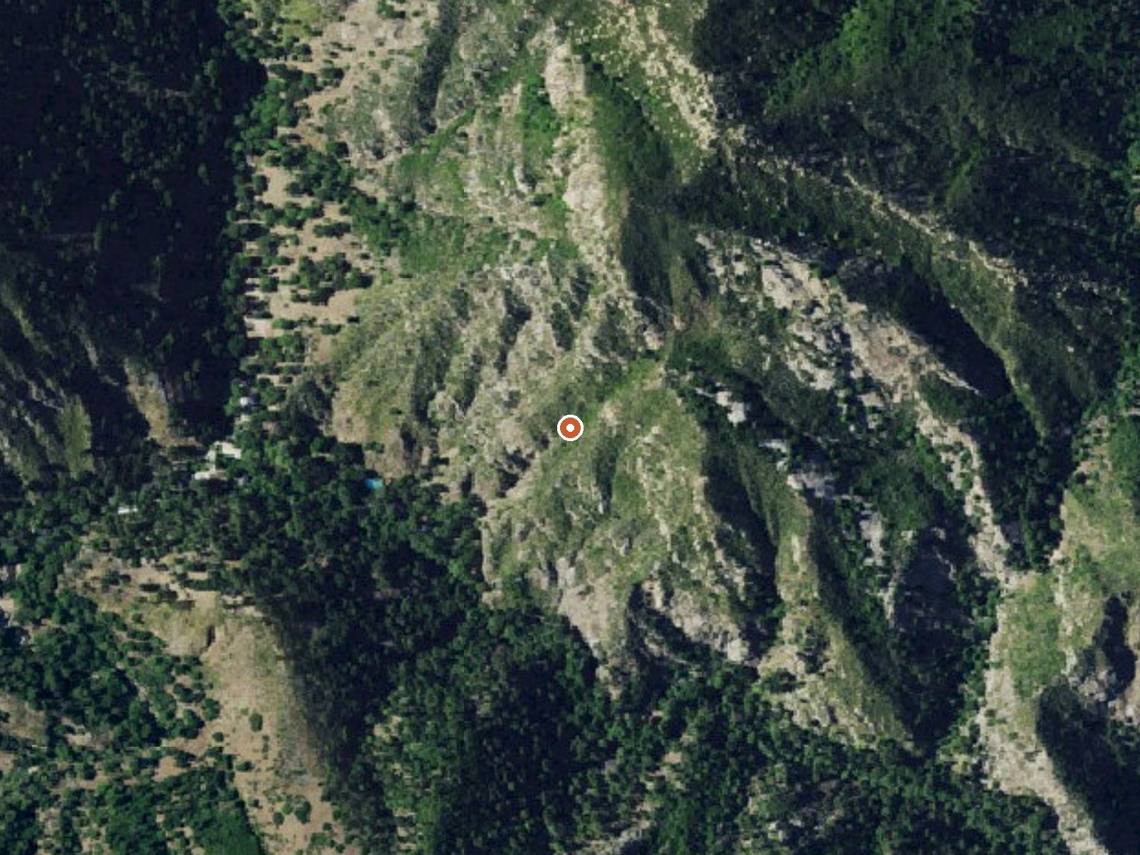
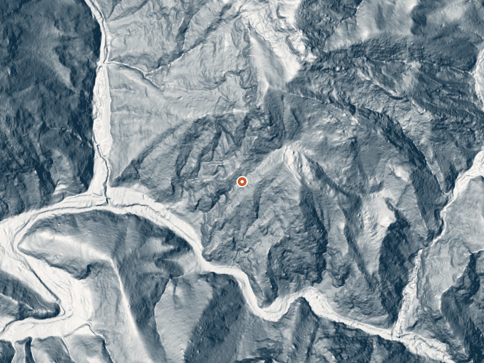
Drag the handle to compare the two views. The orange dot marks the spring, in a frame about three quarters of a mile wide.
- Setting
- Hillside
- The spring sits on a steep slope that climbs to the northeast.
- Highest ground nearby
- 621 ft above the spring
- Within a quarter mile, to the northeast
A slice through the ground from south to north, about 0.6 miles end to end.
Elevation data: USGS 3D Elevation Program. Aerial imagery: USGS The National Map. Public domain.
That's about twice the US average of 65. It's higher than at 65% of the springs on this site.
Heat flow measures the warmth working its way up through the ground from deep inside the earth. Where it runs high, rain and snowmelt that seep down through cracks in the rock come back up hot.
See every spring on the geothermal heat map →
Heat flow estimate: Stanford Thermal Earth Model (Aljubran & Horne, 2024), CC BY 4.0.
Some links are affiliate links. We may earn a commission at no extra cost to you.
Overview Arroyo Seco Campground is a semi-rustic, but developed facility in California's westernmost national forest. It offers a great escape from bustling city life, into the mountain air and provides access to a variety of outdoor recreation opportunities.Recreation The small non-body contact lake near the group campsites gives campers an edge on mountain fishing and small non-motorized boating. Anglers will find mostly bass and catfish in the lakes, and other species on occasion. A fishin...
Tassajara Hot Springs is road-accessible, so you can bring more gear. The water is dangerously hot, so bring water shoes and test pools carefully.




As an Amazon Associate, we earn from qualifying purchases.
Springs Near Tassajara Hot Springs
More Springs Around 144°F
Hike 4 waterfalls near Tassajara Hot Springs
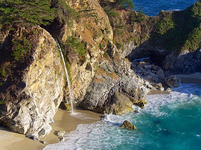
Looking for more outdoor adventures? Explore waterfall hikes near Tassajara Hot Springs, California.