Terminal Geyser
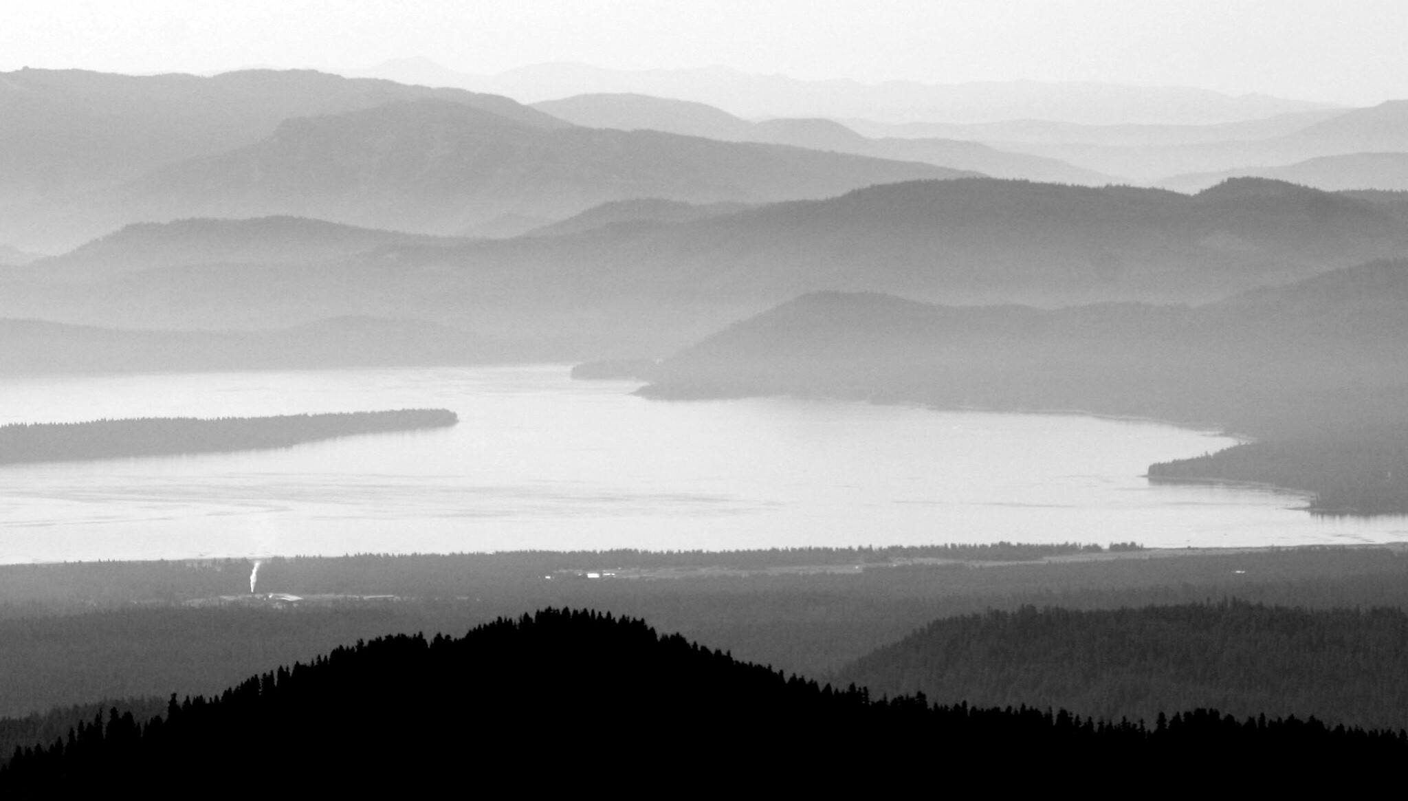
Terminal Geyser is a boiling thermal feature in Lassen Volcanic National Park, in Plumas County, around eleven miles from Chester. The water sits at boiling, far beyond anything a person can touch. It is a thing to walk to and look at, on National Park Service ground that is listed as open to the public, and Warner Valley Campground is under two miles away.
High country near 5,800 feet, with enormous winter snow, around 180 inches, and a wet climate overall. The vent is seven tenths of a mile beyond the end of the nearest road. It lies inside a national park, so park rules govern what you can do there. Warner Valley Campground is the closest camp in our data.
Our record lists the winter months as best, but that is when this ground is under deep snow, so expect the road to be buried for a long stretch of the year. Short walk in. Keep well back from the water and the ground around it; at this temperature it can kill. No fee is recorded for the site itself. Warner Valley Campground is close.
Aircraft with laser scanners measured this ground to within inches. The scan strips out trees and buildings, leaving the bare shape of the land around Terminal Geyser.
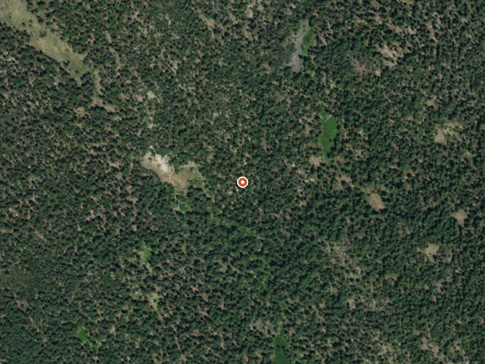
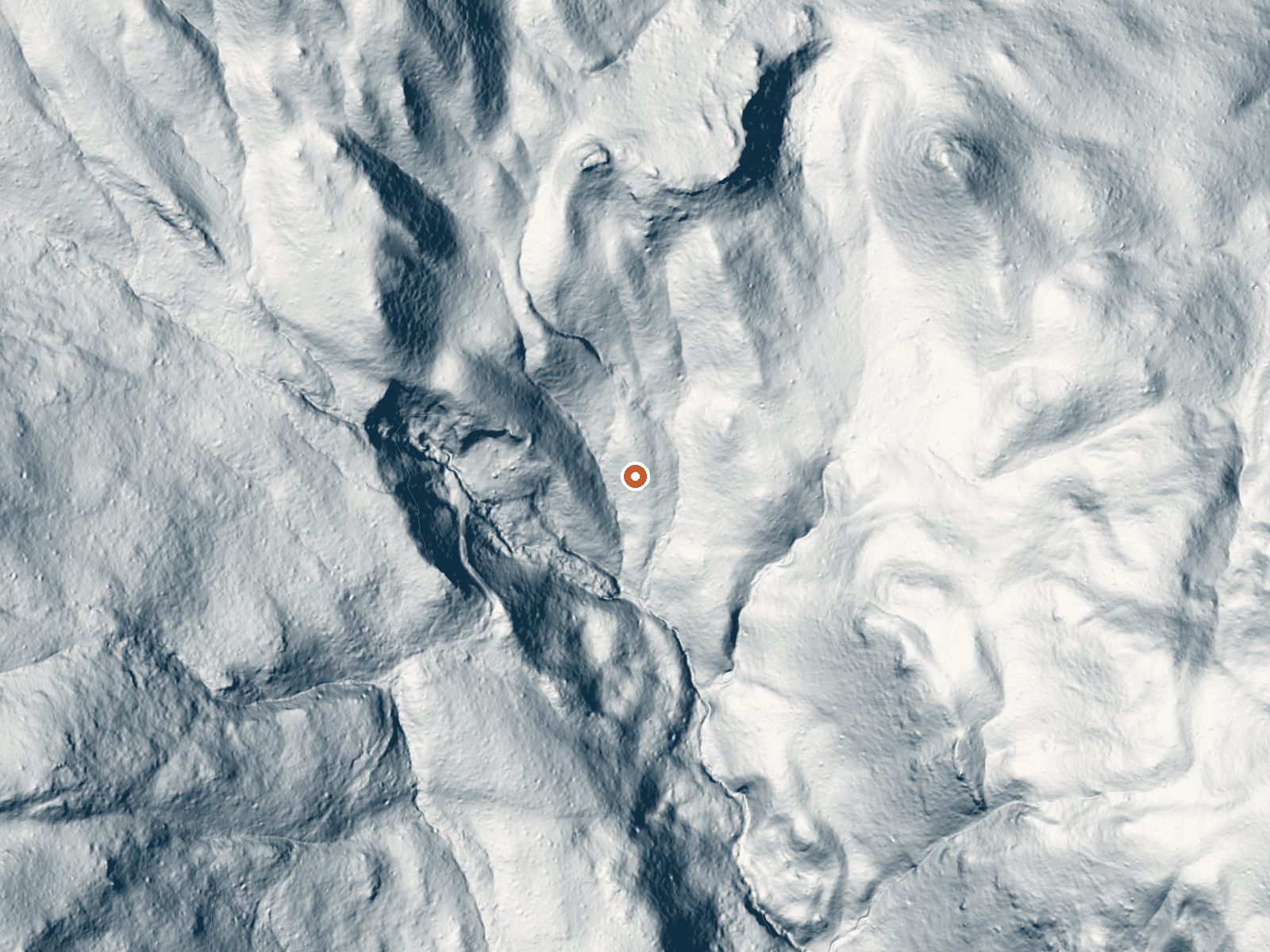
Drag the handle to compare the two views. The orange dot marks the spring, in a frame about three quarters of a mile wide.
- Setting
- Hillside
- The spring sits on a steep slope that climbs to the northwest.
- Highest ground nearby
- 326 ft above the spring
- Within a quarter mile, to the northwest
A slice through the ground from north to south, about 0.6 miles end to end.
Elevation data: USGS 3D Elevation Program. Aerial imagery: USGS The National Map. Public domain.
That's about 1½ times the US average of 65. It's higher than at 56% of the springs on this site.
Heat flow measures the warmth working its way up through the ground from deep inside the earth. Where it runs high, rain and snowmelt that seep down through cracks in the rock come back up hot.
See every spring on the geothermal heat map →
Heat flow estimate: Stanford Thermal Earth Model (Aljubran & Horne, 2024), CC BY 4.0.
Some links are affiliate links. We may earn a commission at no extra cost to you.
Overview Warner Valley campground is a limited development facility in the south eastern area of the park. It has vault toilets and potable water spigots. Numerous trails can be accessed from the campground. Recreation Hiking trails accessible from the campground Facilities Vault toilets - seasonal Natural Features Lassen Volcanic national park is known for its volcanic history, as well as its diversity of plants and animals. It contains 300 active volcanic domes, as well as many hydrotherma...
Terminal Geyser sits at 5,793 feet above sea level, way above the mile-high mark. You may not feel the altitude strongly, but hot water still dehydrates you faster at elevation. UV is about 23% stronger than at sea level, so bring sunscreen and drink more water than you normally would.



As an Amazon Associate, we earn from qualifying purchases.
Terminal Geyser is road-accessible, so you can bring more gear. The water is dangerously hot, so bring water shoes and test pools carefully.





As an Amazon Associate, we earn from qualifying purchases.
Springs Near Terminal Geyser
More Springs Around 205°F
Hike 6 waterfalls near Terminal Geyser
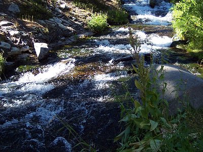
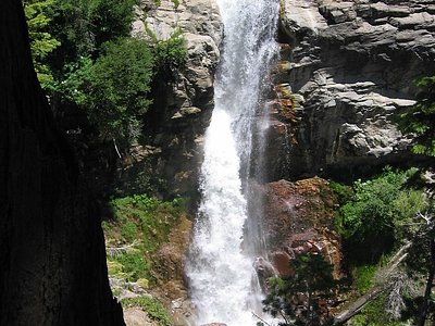
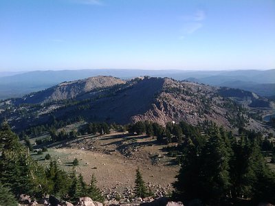
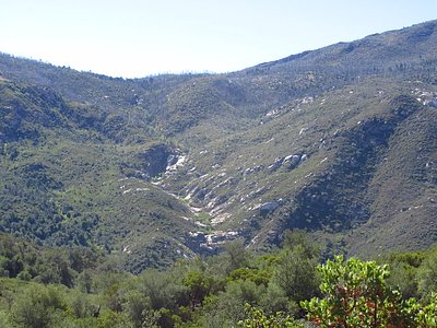
Looking for more outdoor adventures? Explore waterfall hikes near Terminal Geyser, California.