Bumpass Hell

Bumpass Hell is a hydrothermal area in Plumas County's Lassen Volcanic National Park, roughly eighteen miles from Chester. OpenStreetMap labels this point Pyrite Pool. The water is at boiling, the most dangerous kind of thermal feature, and a national park sight to walk to and watch. Public access is open.
High ground at eight thousand feet, on National Park Service land. Lassen Peak Highway is the nearest road, and the walk in is about eight tenths of a mile from the highway. Snow averages over seventeen feet, with yearly precipitation near four feet. Summit Lake South campground is under five miles away, and the record lists nothing else for camping.
December through February are the best months listed, and in practice that means whenever the highway is open; seventeen feet of snow will have a say in that. Summit Lake South is the nearest campground, about five miles. The water will scald on contact. Stay on the park route. A 1981 USGS reading showed the water near neutral with low dissolved solids.
OpenStreetMap carries this feature as Pyrite Pool. The USGS holds a water sample from June 1981.
Aircraft with laser scanners measured this ground to within inches. The scan strips out trees and buildings, leaving the bare shape of the land around Bumpass Hell.
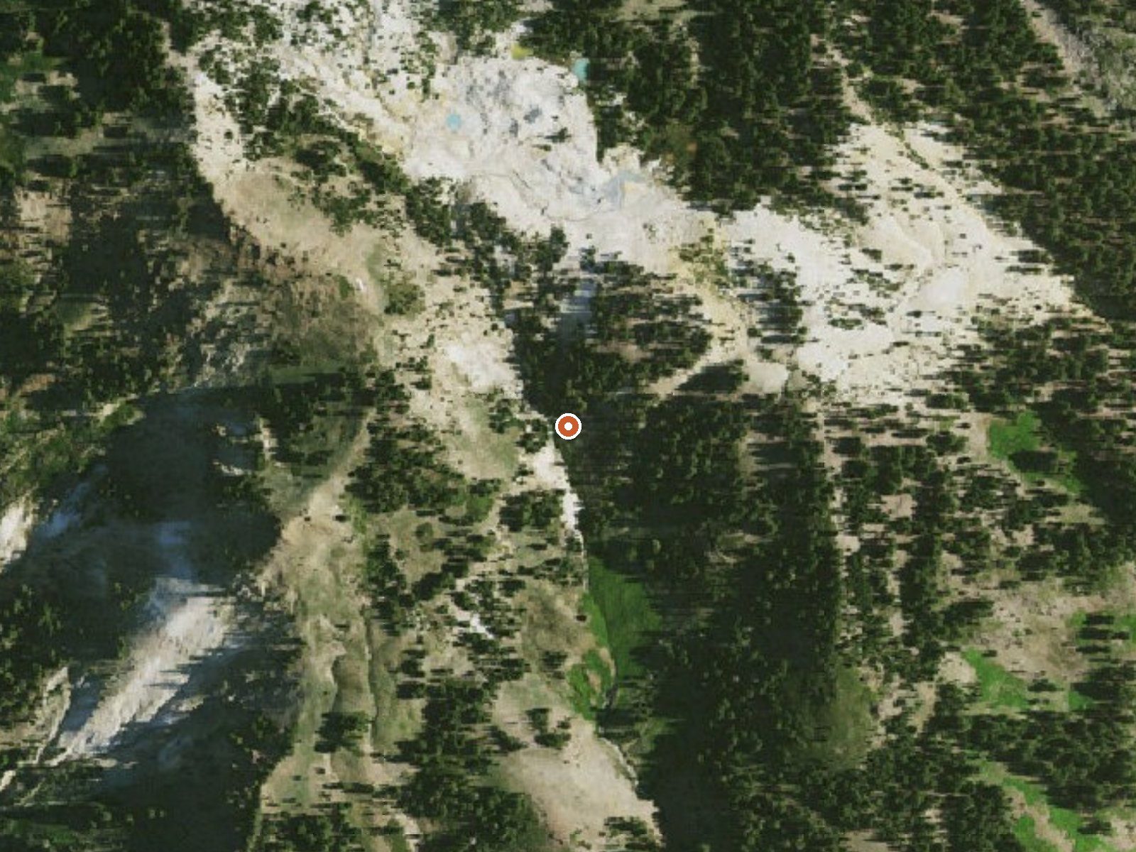
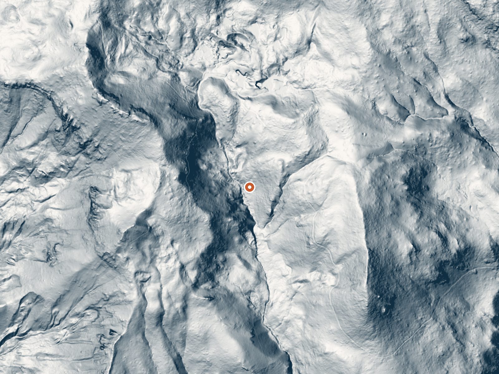
Drag the handle to compare the two views. The orange dot marks the spring, in a frame about three quarters of a mile wide.
- Setting
- Canyon floor
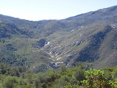
- Steep ground climbs away on both sides of the spring.
- Highest ground nearby
- 293 ft above the spring
- Within a quarter mile, to the northwest
A slice through the ground from west to east, about 0.6 miles end to end.
Elevation data: USGS 3D Elevation Program. Aerial imagery: USGS The National Map. Public domain.
Landsat's thermal camera passed over on a clear winter day, January 19, 2025. This spring's heat shows up from about 440 miles up. The brightest yellow marks the warmest ground, roughly 10°F warmer than the land around it.
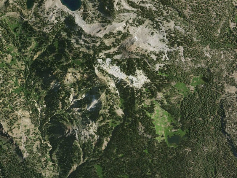
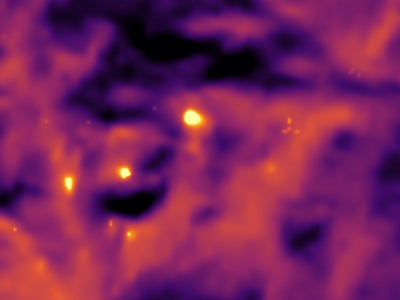
Drag to compare. The view is about 2½ miles across, and each thermal pixel covers roughly 300 feet of ground, so individual pools blur into one warm patch.
Thermal: Landsat 8/9 surface temperature, USGS (public domain), via Microsoft Planetary Computer. Aerial: USGS The National Map. More springs seen from space.
That's about 1½ times the US average of 65. It's higher than at 42% of the springs on this site.
Heat flow measures the warmth working its way up through the ground from deep inside the earth. Where it runs high, rain and snowmelt that seep down through cracks in the rock come back up hot.
See every spring on the geothermal heat map →
Heat flow estimate: Stanford Thermal Earth Model (Aljubran & Horne, 2024), CC BY 4.0.
The water at Bumpass Hell is neutral (pH 6.9) with 42 mg/L total dissolved solids.
Some links are affiliate links. We may earn a commission at no extra cost to you.
Overview Summit Lake South Campground (elevation 6,700 ft.) is conveniently located on the main road of Lassen Volcanic National Park. The campground is within walking distance of the small but scenic Summit Lake and eight miles from the 10,457-ft. Lassen Peak, the largest volcano in the park. Hikers will find one of the park's major trails only 1/4-mile away from the campground and many more within a close proximity. Summit Lake South is on the opposite side of the lake from Summit Lake Nort...
At 8,017 feet, Bumpass Hell is in high-altitude territory where the air is noticeably thinner. Soaking in hot water accelerates dehydration and can amplify altitude effects like headache and fatigue. UV radiation is roughly 32% stronger here. Wear sunscreen even on overcast days and take breaks from the water to rehydrate.




As an Amazon Associate, we earn from qualifying purchases.
Bumpass Hell is road-accessible, so you can bring more gear. The water is dangerously hot, so bring water shoes and test pools carefully. Cold air temperatures make a changing robe or warm layers essential.





As an Amazon Associate, we earn from qualifying purchases.
Springs Near Bumpass Hell
More Springs Around 199°F
Neutral Springs (pH ~6.9)
Hike 6 waterfalls near Bumpass Hell
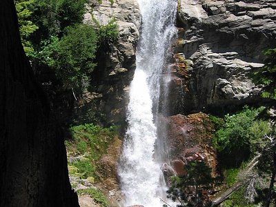
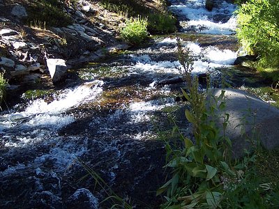
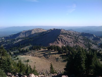
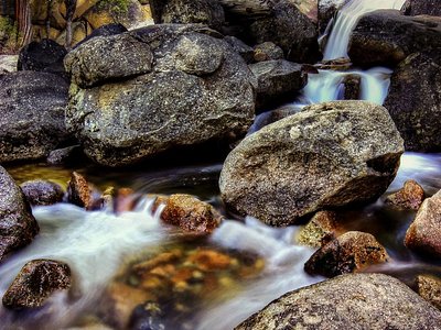
Looking for more outdoor adventures? Explore waterfall hikes near Bumpass Hell, California.