Dakota Hot Springs
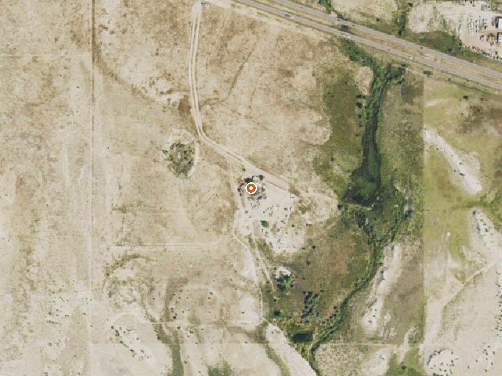
The orange dot marks the spring, in a frame about three quarters of a mile wide.
Dakota Hot Springs sits in Fremont County, Colorado, about three miles from Penrose, at a little over five thousand feet. OpenStreetMap lists it under the same name. no temperature is on record, so how hot the water is, and if it is soakable, cannot be said here, and No access and owner is on record too. No water chemistry is recorded, and there is no USGS site number.
Malibu Boulevard passes roughly a hundred and fifty feet away, which makes this a roadside stop. Elevation is modest and the weather stays mild, with snow adding up to two and a half feet over a season and rain on the light side. Average across the year lands in the low fifties. No land unit was recorded, and no owner either.
Best months: none listed. Roadside. Sand Gulch Campground, about seventeen miles away, is the camping on record. Nothing is recorded for fee or temperature, and the same goes for chemistry and access, so before you drive out, find out who owns the ground and if the water is anything to soak in.
USGS hasn't flown a detailed laser scan here yet, so this view comes from aerial photos and older elevation data.
- Setting
- Open ground
- Flat, open ground all around.
- Highest ground nearby
- 31 ft above the spring
- Within a quarter mile, to the north
A slice through the ground from north to south, about 0.6 miles end to end.
Elevation data: USGS 3D Elevation Program. Aerial imagery: USGS The National Map. Public domain.
That's close to the US average of 65. It's higher than at 0% of the springs on this site.
Heat flow measures the warmth working its way up through the ground from deep inside the earth. Where it runs high, rain and snowmelt that seep down through cracks in the rock come back up hot.
See every spring on the geothermal heat map →
Heat flow estimate: Stanford Thermal Earth Model (Aljubran & Horne, 2024), CC BY 4.0.
Some links are affiliate links. We may earn a commission at no extra cost to you.
Overview With easy walking access to sport rock climbing routes in the popular Shelf Road Recreation Area, Sand Gulch Campground is a 31-site camping facility, open year-round. The campground is located 14 miles north of Cañon City at an approximate elevation of 6,400 feet and features spectacular views of the surrounding limestone cliffs. Recreation Sand Gulch Campground offers sport climbers easy walk-in access to tall monolithic cliffs. Climbers can access Contest and Freeform Walls with...
Dakota Hot Springs is road-accessible, so you can bring more gear.






As an Amazon Associate, we earn from qualifying purchases.
Springs Near Dakota Hot Springs
Hike 6 waterfalls near Dakota Hot Springs
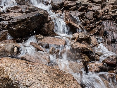
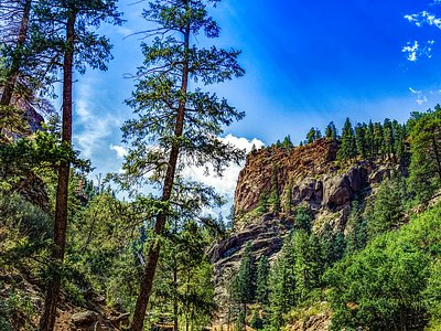
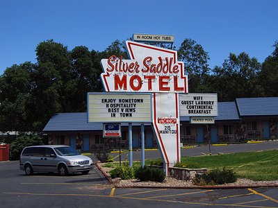
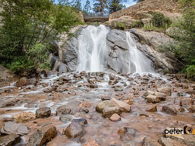
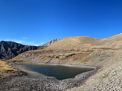
Looking for more outdoor adventures? Explore waterfall hikes near Dakota Hot Springs, Colorado.