Swissvale Warm Springs
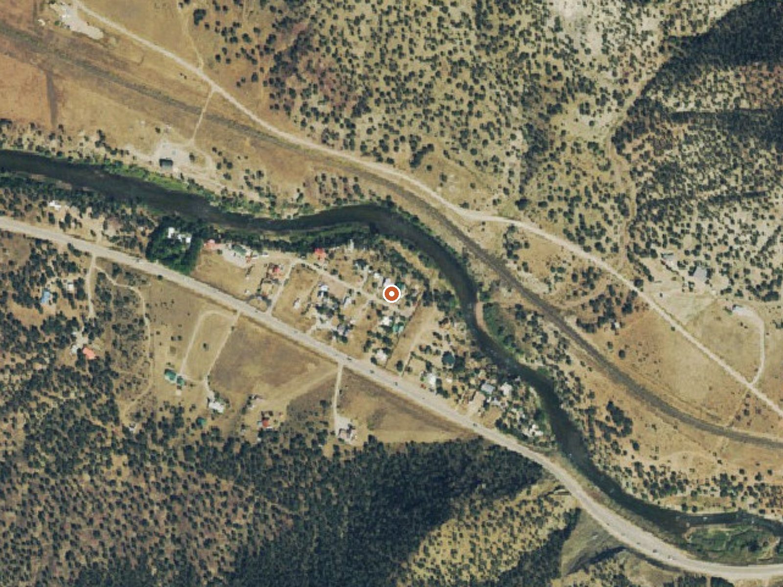
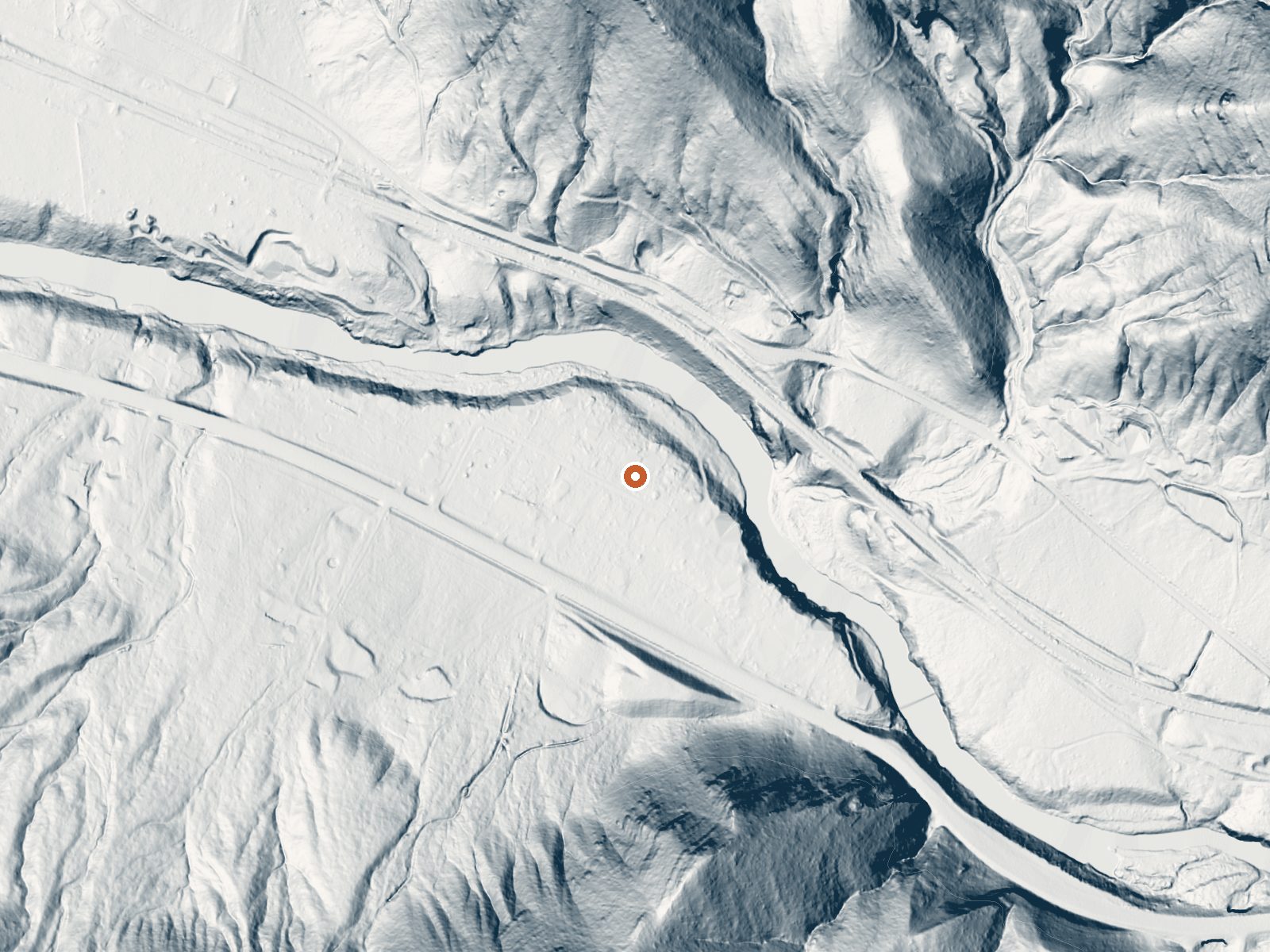
Drag the handle to compare the two views. The orange dot marks the spring, in a frame about three quarters of a mile wide.
Swissvale Warm Springs comes out tepid, a hand-warm flow in Chaffee County about seven miles from Salida, off Swissvale Road. The 1976 USGS sample shows neutral water with the usual run of calcium, magnesium, sodium, sulfate and chloride. the record is silent on owner and access, and OSM has no tag for it. Salida is where you would stay.
Roadside, sixty-odd feet from Swissvale Road. Elevation is valley. Snow is moderate, a bit over four feet, and little rain falls; the annual average temperature sits in the mid-forties. Coaldale Campground is eleven miles off, the only camp in the record. Land unit and owner are both blank, so there is nobody named to ask.
the best months on record says winter. The temperature is mild, warm on the hand and cool for sitting in for long. Land and access are blank in the record, so ask before you go. Coaldale Campground, eleven miles. No fee appears in the record. The chemistry sample dates to June 1976 and has not been updated in the record since.
Aircraft with laser scanners measured this ground to within inches. The scan strips out trees and buildings, leaving the bare shape of the land around Swissvale Warm Springs.
- Setting
- Valley floor
- Gentle slopes rise on both sides.
- Highest ground nearby
- 268 ft above the spring
- Within a quarter mile, to the south
A slice through the ground from north to south, about 0.6 miles end to end.
Elevation data: USGS 3D Elevation Program. Aerial imagery: USGS The National Map. Public domain.
That's about twice the US average of 65. It's higher than at 81% of the springs on this site.
Heat flow measures the warmth working its way up through the ground from deep inside the earth. Where it runs high, rain and snowmelt that seep down through cracks in the rock come back up hot.
See every spring on the geothermal heat map →
Heat flow estimate: Stanford Thermal Earth Model (Aljubran & Horne, 2024), CC BY 4.0.
The water at Swissvale Warm Springs is neutral (pH 7.0). It is notably rich in magnesium (known for muscle relaxation and stress relief).
Coaldale Campground is located on the banks of Hayden Creek and is a quiet campground with only 10 campsites. Most of the campsites are walk-in sites with small parking areas. The area is thick with gamble oak, juniper, and cottonwood trees . Sites 1-5 are walk-in sites for tent camping. Vault toilet is available only during peak season
Swissvale Warm Springs sits at 6,815 feet above sea level, way above the mile-high mark. You may not feel the altitude strongly, but hot water still dehydrates you faster at elevation. UV is about 27% stronger than at sea level, so bring sunscreen and drink more water than you normally would.



As an Amazon Associate, we earn from qualifying purchases.
Springs Near Swissvale Warm Springs
More Springs Around 82°F
Neutral Springs (pH ~7.0)
Hike 6 waterfalls near Swissvale Warm Springs
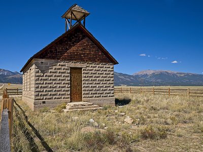
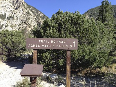
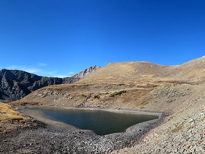
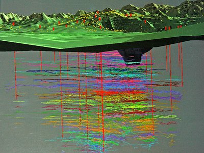
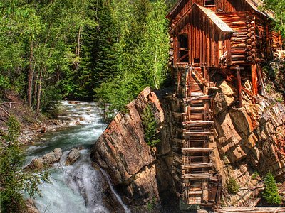
Looking for more outdoor adventures? Explore waterfall hikes near Swissvale Warm Springs, Colorado.