Poncha Hot Springs
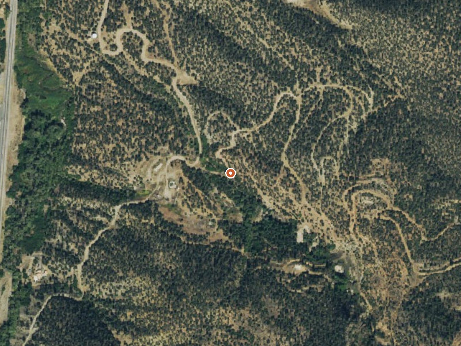
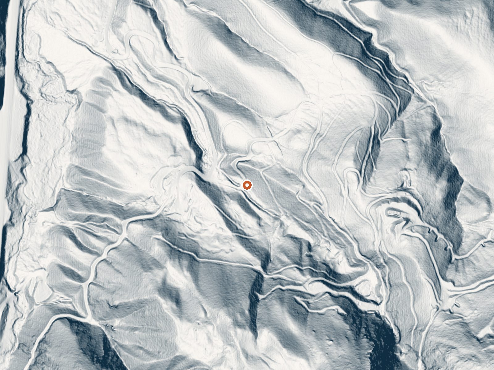
Drag the handle to compare the two views. The orange dot marks the spring, in a frame about three quarters of a mile wide.
Poncha Hot Springs, Chaffee County, about five miles from Salida. The source reads scalding. A 1974 sample shows moderately mineralized water, and the USGS has carried this as a thermal site since at least then. the record is empty, access likewise, and OpenStreetMap has no name for the point. Salida is the obvious base and it is close.
The road is eight feet away, about as roadside as it gets. Elevation is high valley, a shade under eight thousand feet. Snow is moderate for the mountains, a little over four feet, and the climate is dry. O'Haver Lake campground is six miles off. No managing agency is named.
the season on record says winter. Keep hands out of the source water; it burns. With access unknown, ask around about who controls the ground before you visit. Camping at O'Haver Lake campground, six miles. The chemistry sample is fifty years old. The temperature reading alone should rule out any casual dip at the source.
Aircraft with laser scanners measured this ground to within inches. The scan strips out trees and buildings, leaving the bare shape of the land around Poncha Hot Springs.
- Setting
- Canyon floor
- Steep ground climbs away on both sides of the spring.
- Highest ground nearby
- 480 ft above the spring
- Within a quarter mile, to the south
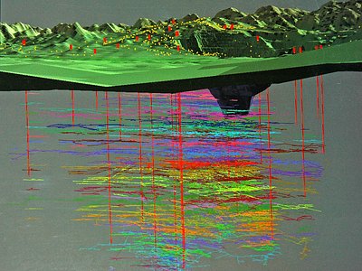
A slice through the ground from south to north, about 0.6 miles end to end.
Elevation data: USGS 3D Elevation Program. Aerial imagery: USGS The National Map. Public domain.
That's about 2½ times the US average of 65. It's higher than at 94% of the springs on this site.
Heat flow measures the warmth working its way up through the ground from deep inside the earth. Where it runs high, rain and snowmelt that seep down through cracks in the rock come back up hot.
See every spring on the geothermal heat map →
Heat flow estimate: Stanford Thermal Earth Model (Aljubran & Horne, 2024), CC BY 4.0.
The water at Poncha Hot Springs contains 673 mg/L total dissolved solids.
Overview The Forest Service wants your opinion on reserving sites at O’Haver Lake Campground. Please take a moment to fill out a brief survey at: https://forms.office.com/g/zFknf0tZbS O'Haver Lake Campground sits at an elevation of 9,200 feet, with ponderosa pines and aspen. It is located on the shores of O'Haver Lake. This facility has 31 sites and is a very popular destination that is often full on the weekends. "First come, first served" does not necessarily mean that the site will be...
Poncha Hot Springs sits at 7,877 feet above sea level, way above the mile-high mark. You may not feel the altitude strongly, but hot water still dehydrates you faster at elevation. UV is about 32% stronger than at sea level, so bring sunscreen and drink more water than you normally would.



As an Amazon Associate, we earn from qualifying purchases.
Springs Near Poncha Hot Springs
More Springs Around 160°F
Hike 6 waterfalls near Poncha Hot Springs
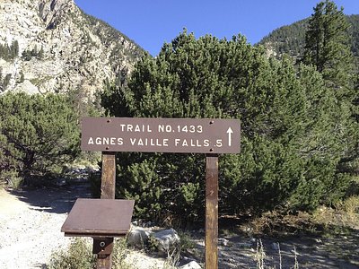
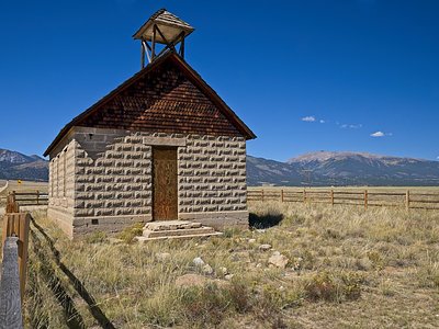
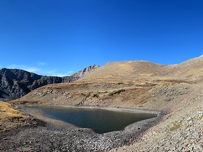
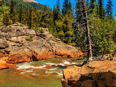
Looking for more outdoor adventures? Explore waterfall hikes near Poncha Hot Springs, Colorado.