Hot Spring Near Port Moller
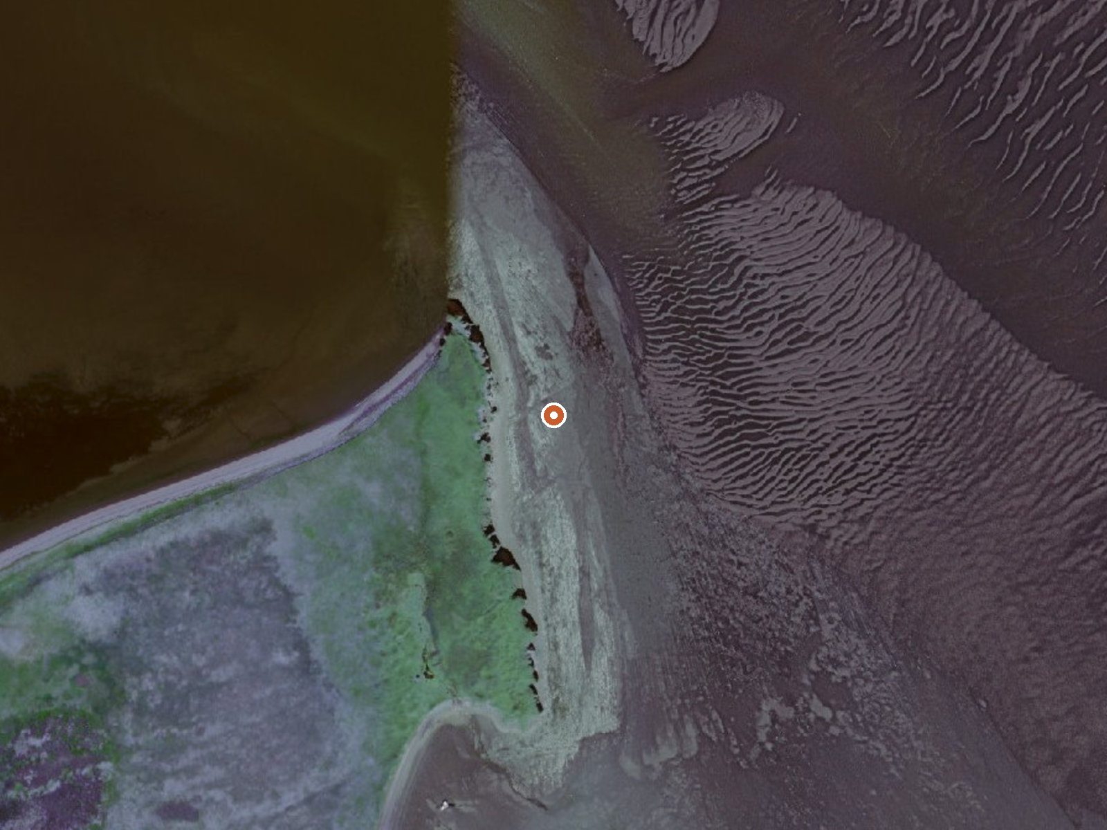
The orange dot marks the spring, in a frame about three quarters of a mile wide.
Scalding water at sea level near Port Moller, on Alaska Peninsula refuge land. The spring runs far hotter than skin can take where it surfaces. Access is listed as restricted. Sand Point is the closest town in the record, under forty miles away. This is a thermal feature to keep away from, as the record stands.
Right at the shore; the record gives an elevation of zero. The nearest road is the Port Moller facilities road, about eight miles away, and the ground in between is refuge land with no route on file. Snow is heavy in winter and rain frequent in the other seasons. No campground or cabin shows up in the listing, and the land designation is national wildlife refuge.
Best months on record are January through March. The water will scald; keep hands and feet clear at the source and assume the same of any outflow until you have checked it. Restricted access means the refuge gets a call before you do anything. Plan for a backcountry approach with no facilities.
USGS hasn't flown a detailed laser scan here yet, so this view comes from aerial photos and older elevation data.
- Setting
- Gentle slope
- The ground tilts gently up to the northwest.
- Highest ground nearby
- 65 ft above the spring
- Within a quarter mile, to the northwest
A slice through the ground from northwest to southeast, about 0.6 miles end to end.
Elevation data: USGS 3D Elevation Program. Aerial imagery: USGS The National Map. Public domain.