Fumarole
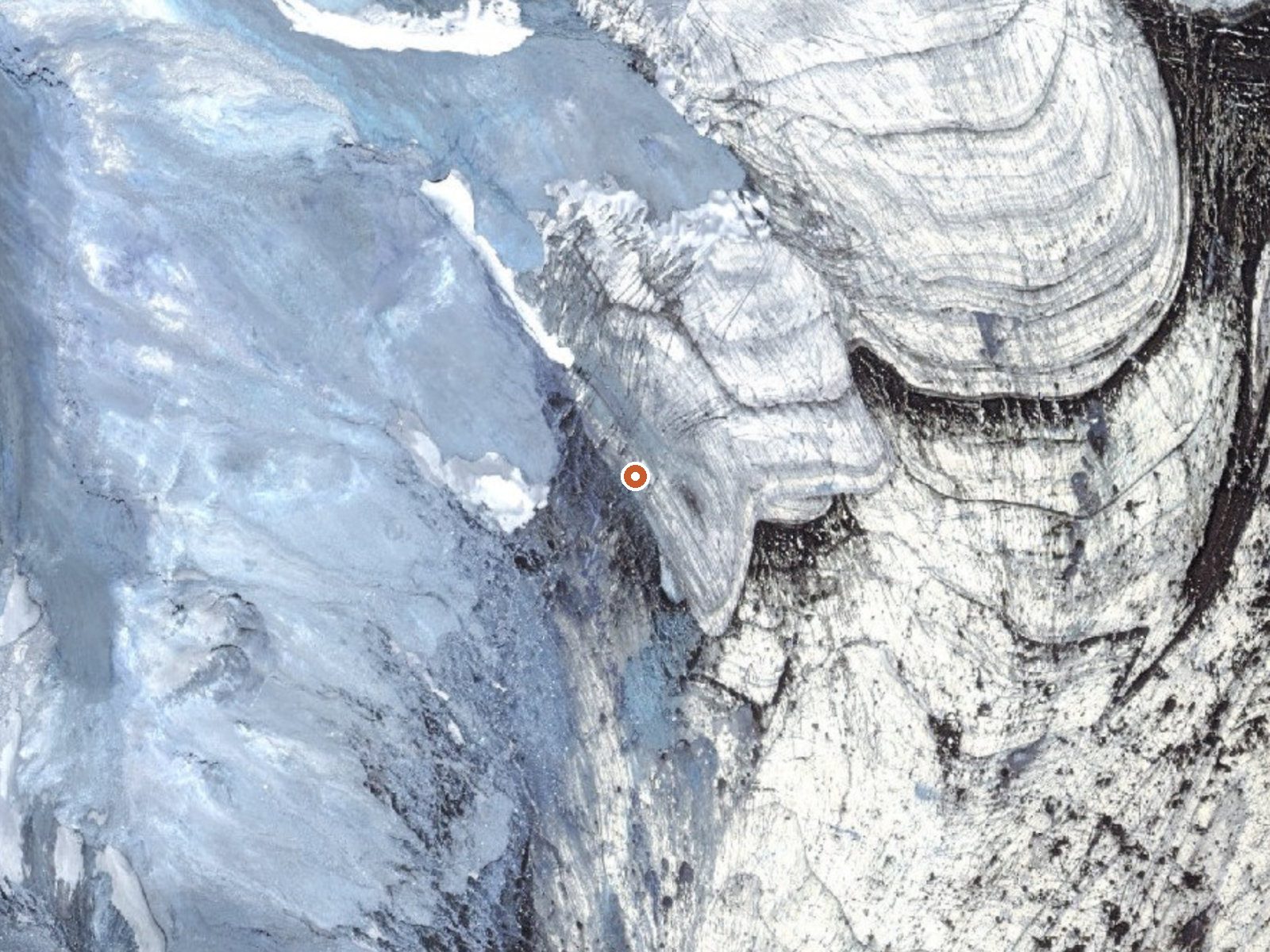
The orange dot marks the spring, in a frame about three quarters of a mile wide.
Fumarole is the word for a steam vent, and that is what sits here, more than 2,500 feet up in Aleutians East Borough. There is no soaking in steam. Nobody measured the heat, so all that stands is the word hot. Sand Point lies about 58 miles off. The ground belongs to the national wildlife refuge covering the Alaska Peninsula, where the Fish and Wildlife Service keeps access restricted.
The nearest road on record is a World War II US Army jeep trail fifteen miles away. Everything past that is backcountry on refuge land. Figure on twelve feet of snow over a winter. The average temperature hovers near freezing and precipitation tops five feet. No campground or cabin is listed.
Restricted access means you need to deal with the refuge before you go anywhere near it. No season is singled out on file. Steam vents can burn and there is no temperature reading to tell you how hot this one runs, so keep your distance from the ground around it.
The only dated thing on file is the access route, which the record names as the World War II US Army Jeep Trail.
USGS hasn't flown a detailed laser scan here yet, so this view comes from aerial photos and older elevation data.
- Setting
- Hillside
- The spring sits on a steep slope that climbs to the northwest.
- Highest ground nearby
- 731 ft above the spring
- Within a quarter mile, to the northwest
A slice through the ground from northwest to southeast, about 0.6 miles end to end.
Elevation data: USGS 3D Elevation Program. Aerial imagery: USGS The National Map. Public domain.
Some links are affiliate links. We may earn a commission at no extra cost to you.
Fumarole requires a hike to reach, so pack light but prepared. Cold air temperatures make a changing robe or warm layers essential.






As an Amazon Associate, we earn from qualifying purchases.