Browns Canyon Warm Spring
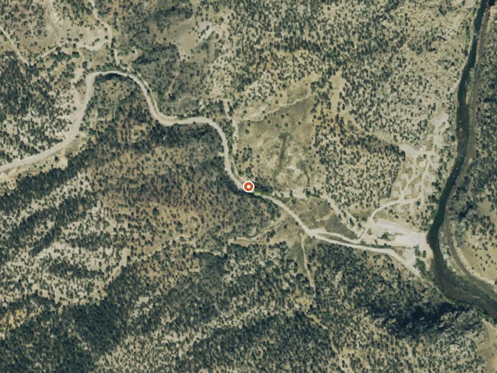
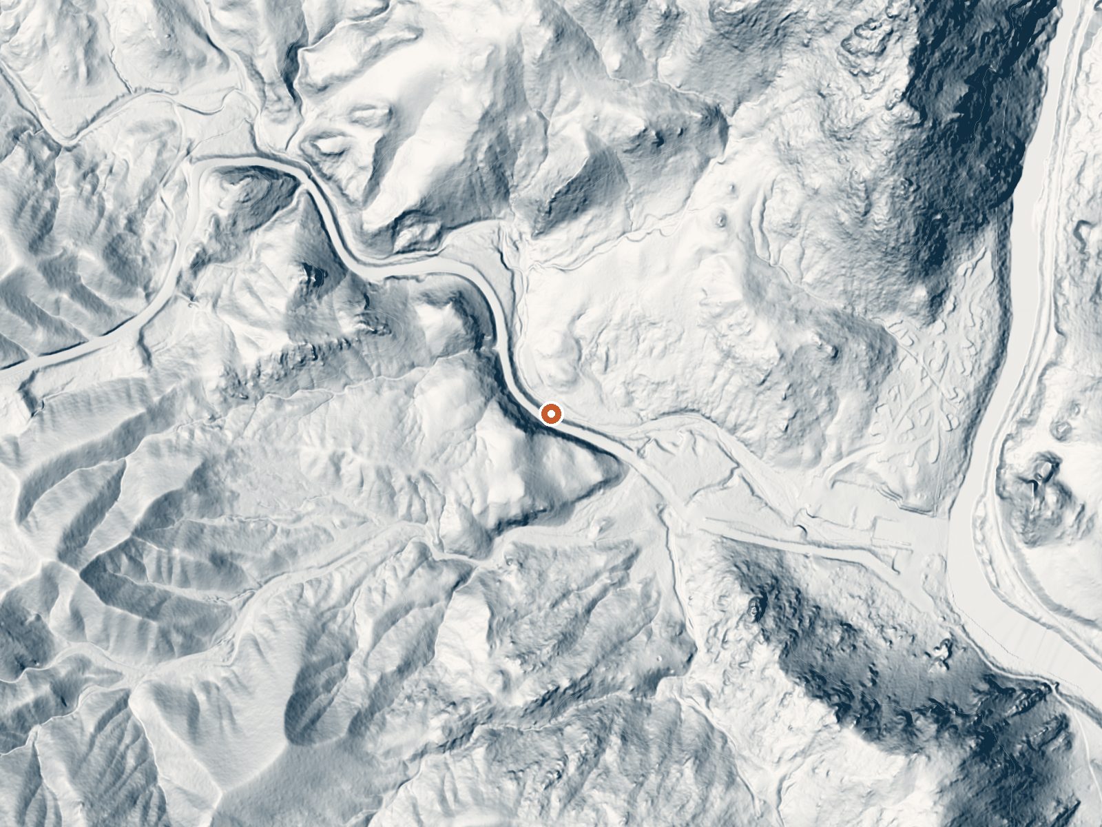
Drag the handle to compare the two views. The orange dot marks the spring, in a frame about three quarters of a mile wide.
Browns Canyon Warm Spring belongs to the Bureau of Land Management's Royal Gorge Field Office, in Chaffee County, Colorado, nine or so miles from Salida. the access on record says open. Tepid water, well short of a bath. A USGS site number is attached, with a 1976 sample showing alkaline water that carries iron.
It is essentially at the roadside, under thirty feet from a road the file leaves unnamed. Elevation is around seventy-four hundred feet. Winter snowfall comes to a little under five feet in an average year and rain is modest. Public land, no special designation, administered out of the Royal Gorge Field Office.
the best months on record says December through February. Roadside and open, on BLM ground. Bassam Guard Station is the camping the record gives, about nine miles away. No fee on record. Chemistry dates to 1976. At this temperature there is no burn risk, and the water will not warm you much on a winter day.
Aircraft with laser scanners measured this ground to within inches. The scan strips out trees and buildings, leaving the bare shape of the land around Browns Canyon Warm Spring.
- Setting
- Hillside
- The spring sits on a steep slope that climbs to the southwest.
- Highest ground nearby
- 236 ft above the spring
- Within a quarter mile, to the southwest
A slice through the ground from west to east, about 0.6 miles end to end.
Elevation data: USGS 3D Elevation Program. Aerial imagery: USGS The National Map. Public domain.
That's about 2½ times the US average of 65. It's higher than at 95% of the springs on this site.
Heat flow measures the warmth working its way up through the ground from deep inside the earth. Where it runs high, rain and snowmelt that seep down through cracks in the rock come back up hot.
See every spring on the geothermal heat map →
Heat flow estimate: Stanford Thermal Earth Model (Aljubran & Horne, 2024), CC BY 4.0.
The water at Browns Canyon Warm Spring is slightly alkaline (pH 8.0).
Overview Bassam Guard Station was built in 1911 as one of a network of remote stations to be used by the first forest rangers and guards to monitor grazing sheep and cattle, manage timber harvesting, apprehended poachers, and report fire, road and weather conditions on National Forest lands. This cabin provides visitors with access to many recreation opportunities in the remote back country. Recreation Visitors may wish to take a day trip to the Arkansas River for kayaking, whitewater rafting...
Browns Canyon Warm Spring sits at 7,429 feet above sea level, way above the mile-high mark. You may not feel the altitude strongly, but hot water still dehydrates you faster at elevation. UV is about 30% stronger than at sea level, so bring sunscreen and drink more water than you normally would.



As an Amazon Associate, we earn from qualifying purchases.
Springs Near Browns Canyon Warm Spring
More Springs Around 77°F
Slightly Alkaline Springs (pH ~8.0)
Hike 5 waterfalls near Browns Canyon Warm Spring
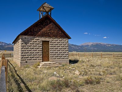
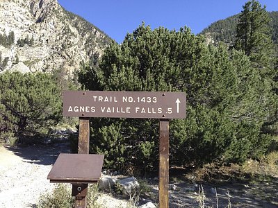
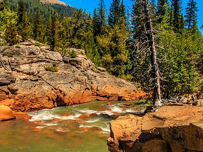
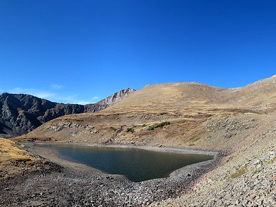
Looking for more outdoor adventures? Explore waterfall hikes near Browns Canyon Warm Spring, Colorado.