Sharkey Hot Spring
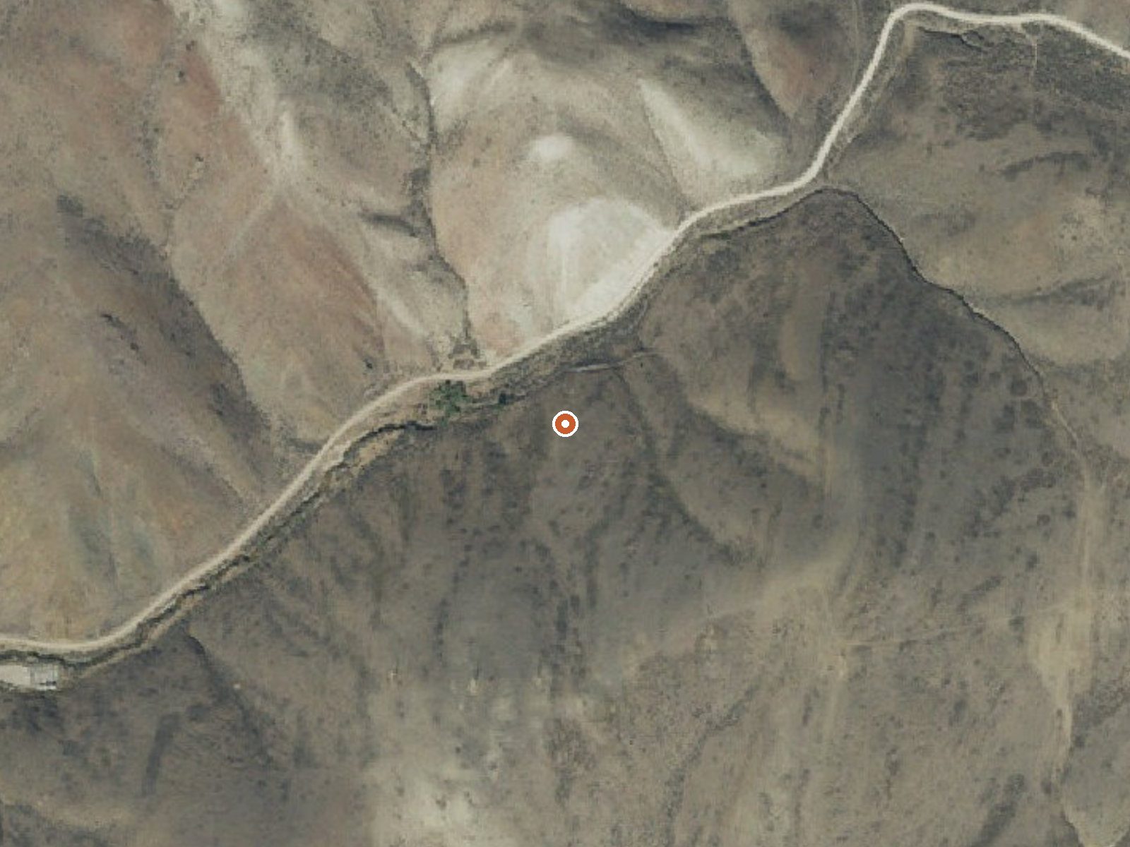
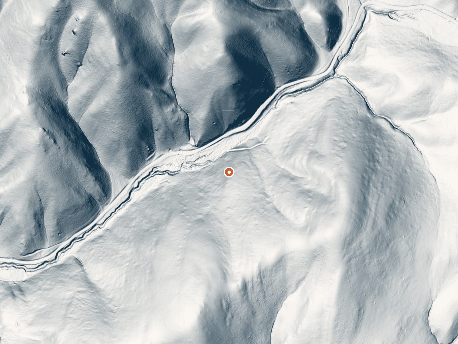
Drag the handle to compare the two views. The orange dot marks the spring, in a frame about three quarters of a mile wide.
Off National Forest Development Road 185 outside Salmon, Sharkey Hot Spring surfaces hot, in the 120s, on Bureau of Land Management ground under the Salmon Field Office in Lemhi County. The listing shows open access, and the water is a few hundred feet off the road. The source is above comfortable soaking as it leaves the ground, so plan on testing it before committing.
Open BLM land at around 5,400 feet, eighteen miles or so from Salmon. A forest development road runs within a few hundred feet, which makes this a drive-up. Snow is moderate by Idaho standards, under eighty inches most winters, and the area is dry, with yearly precipitation under twenty inches. Average temperature over the year lands in the low forties. No fee shows in the record.
December through February are the months on file as best, which fits a roadside spring with modest snow. Agency Creek Campground is about five miles away. Temperature and chemistry both come from a USGS sample taken in August 1980, so the figures are decades old and the spring may behave differently now. Water in the 120s burns skin with time; ease in.
The USGS carries Sharkey as a monitoring site. Its one published sample dates to 1980.
Aircraft with laser scanners measured this ground to within inches. The scan strips out trees and buildings, leaving the bare shape of the land around Sharkey Hot Spring.
- Setting
- Canyon floor
- Steep ground climbs away on both sides of the spring.
- Highest ground nearby
- 335 ft above the spring
- Within a quarter mile, to the southeast
A slice through the ground from south to north, about 0.6 miles end to end.
Elevation data: USGS 3D Elevation Program. Aerial imagery: USGS The National Map. Public domain.
That's about 1½ times the US average of 65. It's higher than at 52% of the springs on this site.
Heat flow measures the warmth working its way up through the ground from deep inside the earth. Where it runs high, rain and snowmelt that seep down through cracks in the rock come back up hot.
See every spring on the geothermal heat map →
Heat flow estimate: Stanford Thermal Earth Model (Aljubran & Horne, 2024), CC BY 4.0.
The water at Sharkey Hot Spring is slightly alkaline (pH 8.0).
Some links are affiliate links. We may earn a commission at no extra cost to you.
Agency Creek Campground (4 campsites) is located along the Lewis and Clark National Backcountry Byway, near the Lewis and Clark National Historic Trail and the Continental Divide National Scenic Trail. At the top of the pass, there is a memorial to Sacajawea. This secluded, arid area offers a variety of recreation activities including camping, biking, hiking, hunting, OHV riding, picnicking and wildlife viewing. Please be respectful of cultural and historical items found here.
Sharkey Hot Spring sits at 5,440 feet above sea level, way above the mile-high mark. You may not feel the altitude strongly, but hot water still dehydrates you faster at elevation. UV is about 22% stronger than at sea level, so bring sunscreen and drink more water than you normally would.



As an Amazon Associate, we earn from qualifying purchases.
Sharkey Hot Spring is road-accessible, so you can bring more gear. The water runs hot, so extra hydration is key. Cold air temperatures make a changing robe or warm layers essential.





As an Amazon Associate, we earn from qualifying purchases.
Springs Near Sharkey Hot Spring
More Springs Around 126°F
Slightly Alkaline Springs (pH ~8.0)
Hike 2 waterfalls near Sharkey Hot Spring
Looking for more outdoor adventures? Explore waterfall hikes near Sharkey Hot Spring, Idaho.