Orvis Hot Spring
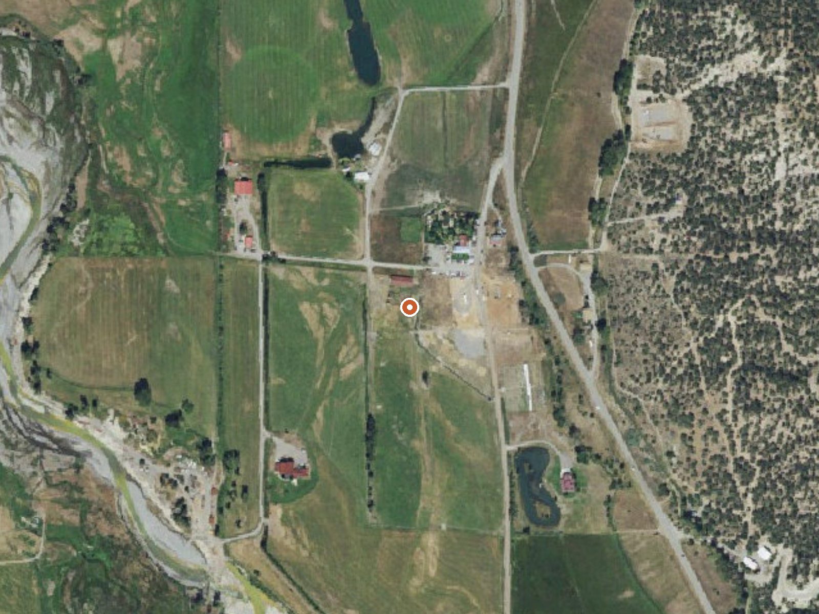
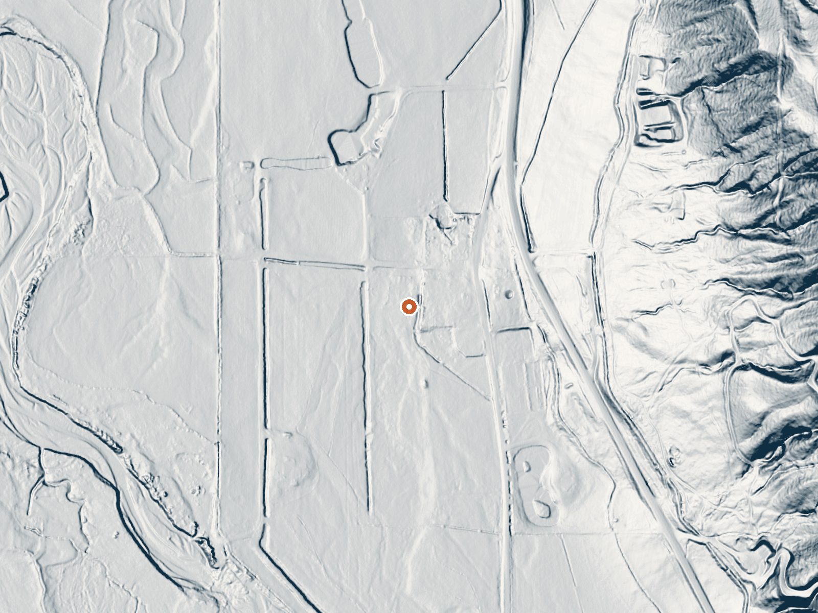
Drag the handle to compare the two views. The orange dot marks the spring, in a frame about three quarters of a mile wide.
Orvis Hot Spring sits in Ouray County about eight miles from Ouray, off County Road 3. The source water is hot, well above comfortable soaking temperature. OpenStreetMap marks it under the same name and records an entry fee. Ownership and formal access status are blank in the USGS record, which also carries a sample from spring 1976.
A few hundred feet from County Road 3, a short walk in the record. Elevation is mid-mountain. Snow is heavy, a bit over six feet a year, and precipitation moderate. Amphitheater campground, near Ouray, is the closest one listed, around nine miles. Ouray is where you would base. The record names no managing agency.
The ranking favors winter. A fee is recorded. The source temperature is high enough to scald, so whatever you get into, test it first. The 1976 pH reading is mildly acidic. With access not formally on record, the fee entry is the one sign that someone runs the site.
Aircraft with laser scanners measured this ground to within inches. The scan strips out trees and buildings, leaving the bare shape of the land around Orvis Hot Spring.
- Setting
- Gentle slope
- The ground tilts gently up to the east.
- Highest ground nearby
- 120 ft above the spring
- Within a quarter mile, to the east
A slice through the ground from west to east, about 0.6 miles end to end.
Elevation data: USGS 3D Elevation Program. Aerial imagery: USGS The National Map. Public domain.
That's about twice the US average of 65. It's higher than at 86% of the springs on this site.
Heat flow measures the warmth working its way up through the ground from deep inside the earth. Where it runs high, rain and snowmelt that seep down through cracks in the rock come back up hot.
See every spring on the geothermal heat map →
Heat flow estimate: Stanford Thermal Earth Model (Aljubran & Horne, 2024), CC BY 4.0.
The water at Orvis Hot Spring is slightly acidic (pH 6.6). It is notably rich in calcium (may support bone density and joint health), sodium (supports circulation and skin hydration), and sulfate (traditionally used for skin conditions and inflammation).
Overview Amphitheater Campground is located near the town of Ouray, Colo., at an elevation of 8,400 feet. Visitors enjoy the area for its beautiful scenery and great hiking and off-road trail opportunities.Recreation Many hiking trails are found in the immediate area, including the popular Upper Cascade Falls Trail, which begins at the campground. Baby Bath Tubs and Chief Ouray Mine trails can also be accessed from the same trailhead. The campground is a favorite among jeep and off-road enth...
Orvis Hot Spring sits at 7,025 feet above sea level, way above the mile-high mark. You may not feel the altitude strongly, but hot water still dehydrates you faster at elevation. UV is about 28% stronger than at sea level, so bring sunscreen and drink more water than you normally would.



As an Amazon Associate, we earn from qualifying purchases.
Springs Near Orvis Hot Spring
More Springs Around 126°F
Slightly Acidic Springs (pH ~6.6)
Hike 6 waterfalls near Orvis Hot Spring
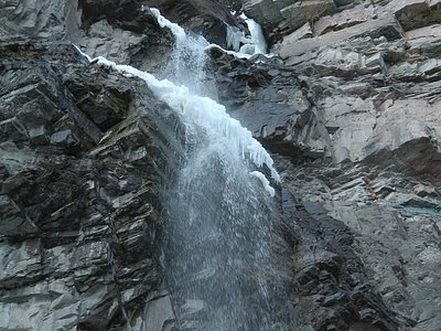
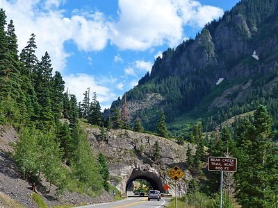
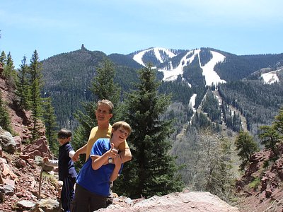
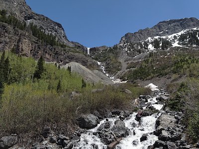
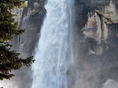
Looking for more outdoor adventures? Explore waterfall hikes near Orvis Hot Spring, Colorado.