Lemon Hot Spring

On Bureau of Land Management ground in San Miguel County, about twelve miles from Mountain Village, Lemon Hot Spring is listed as open to the public. The temperature is at the low end of soaking warm, several degrees short of body heat. The BLM's Uncompahgre Field Office manages the parcel, and the record has a photo.
Stella Drive is the nearest road, under three hundred feet away, so this counts as roadside. Elevation is mid-mountain. Winters deliver a lot of snow, about eight feet on average, and the climate is moderate for rain. The land designation in the record reads PUB, public land, with the Uncompahgre Field Office as the managing unit.
Open access on BLM land with no fee recorded. December through February rank highest in the season data. Matterhorn is the campground the record lists, fifteen miles off. The pH sample from early 1978 is near neutral. At this temperature the water is comfortable to sit in without mixing.
Aircraft with laser scanners measured this ground to within inches. The scan strips out trees and buildings, leaving the bare shape of the land around Lemon Hot Spring.
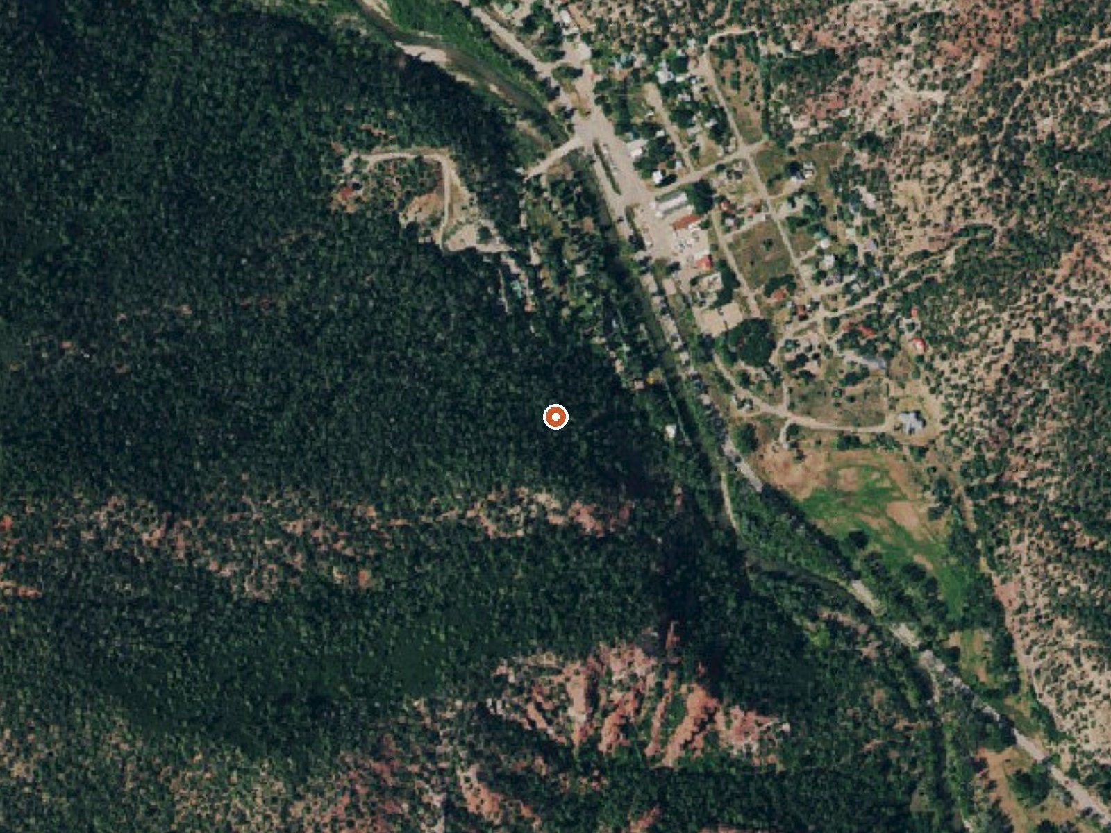
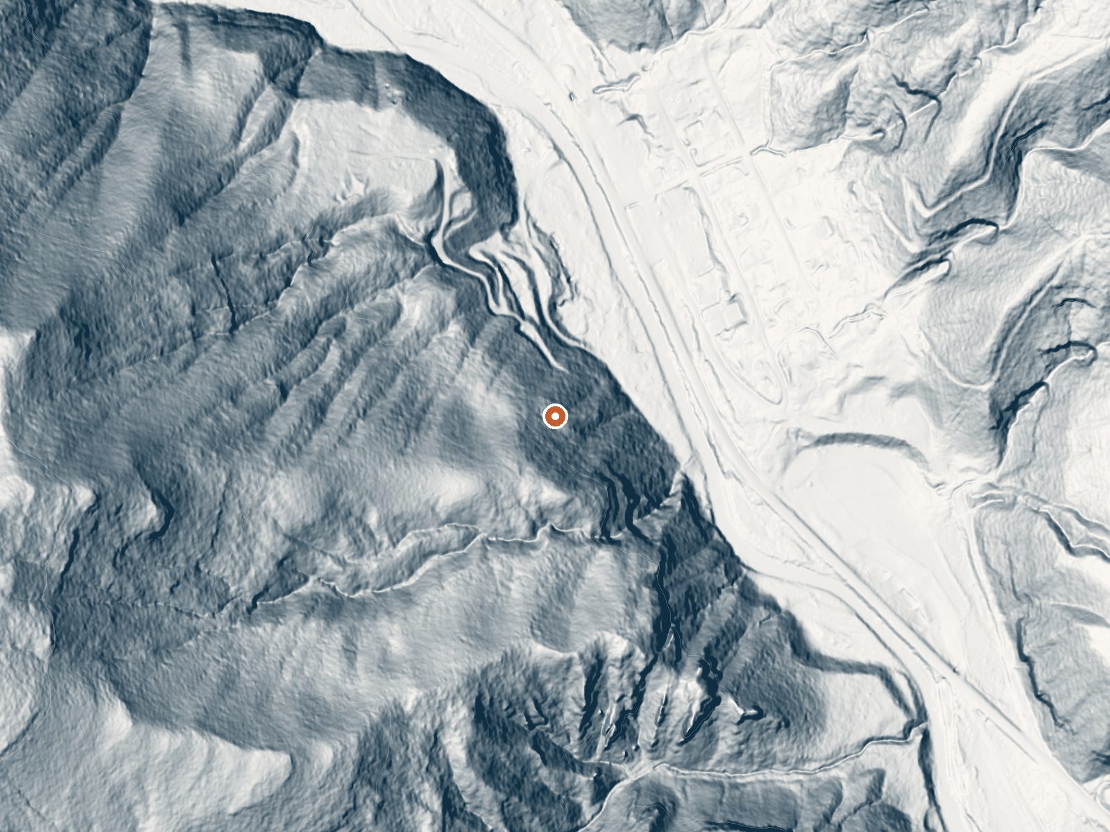
Drag the handle to compare the two views. The orange dot marks the spring, in a frame about three quarters of a mile wide.
- Setting
- Hillside
- The spring sits on a steep slope that climbs to the west.
- Highest ground nearby
- 422 ft above the spring
- Within a quarter mile, to the west
A slice through the ground from southwest to northeast, about 0.6 miles end to end.
Elevation data: USGS 3D Elevation Program. Aerial imagery: USGS The National Map. Public domain.
That's about twice the US average of 65. It's higher than at 90% of the springs on this site.
Heat flow measures the warmth working its way up through the ground from deep inside the earth. Where it runs high, rain and snowmelt that seep down through cracks in the rock come back up hot.
See every spring on the geothermal heat map →
Heat flow estimate: Stanford Thermal Earth Model (Aljubran & Horne, 2024), CC BY 4.0.
The water at Lemon Hot Spring is neutral (pH 7.2). It is notably rich in calcium (may support bone density and joint health), sodium (supports circulation and skin hydration), and sulfate (traditionally used for skin conditions and inflammation).
Some links are affiliate links. We may earn a commission at no extra cost to you.
Overview Matterhorn Campground is located along the San Juan Skyway (Colorado Highway 145), near the quaint town of Telluride, at an elevation of 8,500 feet. Visitors enjoy the area for its beautiful scenery, hiking and off-road opportunities.Recreation The Galloping Goose Trail #449 can be accessed from the campground. This 8.4-mile trail leads past a restored train trestle, over two trail bridges and along segments of the historic Rio Grande Southern Railway. The trail is open to hiking, bi...
Lemon Hot Spring sits at 7,320 feet above sea level, way above the mile-high mark. You may not feel the altitude strongly, but hot water still dehydrates you faster at elevation. UV is about 29% stronger than at sea level, so bring sunscreen and drink more water than you normally would.



As an Amazon Associate, we earn from qualifying purchases.
Lemon Hot Spring is road-accessible, so you can bring more gear. Cold air temperatures make a changing robe or warm layers essential.






As an Amazon Associate, we earn from qualifying purchases.
Springs Near Lemon Hot Spring
More Springs Around 91°F
Neutral Springs (pH ~7.2)
Hike 6 waterfalls near Lemon Hot Spring
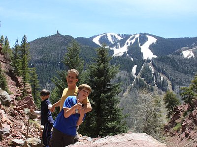
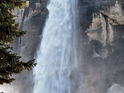
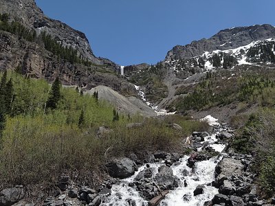

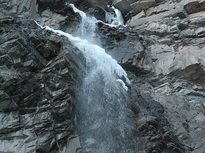
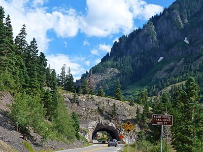
Looking for more outdoor adventures? Explore waterfall hikes near Lemon Hot Spring, Colorado.