Geyser Warm Spring
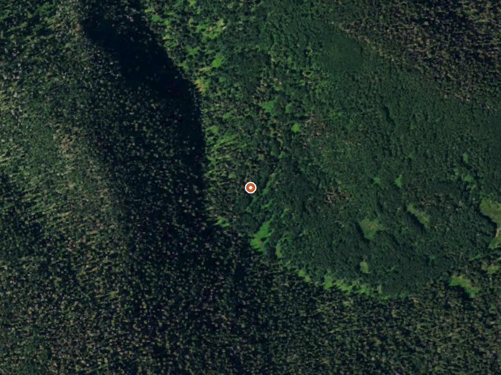
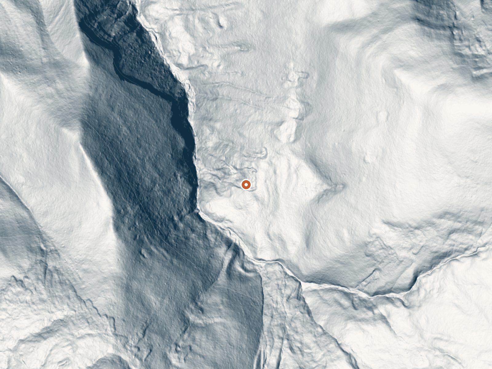
Drag the handle to compare the two views. The orange dot marks the spring, in a frame about three quarters of a mile wide.
Despite the name, what the USGS records at Geyser Warm Spring is a tepid flow high in the San Juan National Forest, San Miguel County. Mountain Village is the closest town and it is nineteen miles off. Access is listed as open. The dissolved mineral load in the 1975 sample is heavy for water this cool.
You leave the car and walk a bit under a mile; no road name is attached to the record. This is high country. The snowfall figure is enormous, over eleven feet in a typical year, and the climate runs wet. Land unit is San Juan National Forest, designation plain national forest, and the Forest Service owns it.
Open access with no fee recorded. The three winter months are listed as best, which on ground that buries itself in snow makes a cold-season visit a commitment. Cayton Campground is around eight miles away, the nearest one in the record. The temperature is well short of a hot soak; expect warm, no more.
Aircraft with laser scanners measured this ground to within inches. The scan strips out trees and buildings, leaving the bare shape of the land around Geyser Warm Spring.
- Setting
- Canyon floor
- Steep ground climbs away on both sides of the spring.
- Highest ground nearby
- 579 ft above the spring
- Within a quarter mile, to the east
A slice through the ground from southwest to northeast, about 0.6 miles end to end.
Elevation data: USGS 3D Elevation Program. Aerial imagery: USGS The National Map. Public domain.
That's about twice the US average of 65. It's higher than at 75% of the springs on this site.
Heat flow measures the warmth working its way up through the ground from deep inside the earth. Where it runs high, rain and snowmelt that seep down through cracks in the rock come back up hot.
See every spring on the geothermal heat map →
Heat flow estimate: Stanford Thermal Earth Model (Aljubran & Horne, 2024), CC BY 4.0.
The water at Geyser Warm Spring contains 1630 mg/L total dissolved solids. It is notably rich in calcium (may support bone density and joint health), magnesium (known for muscle relaxation and stress relief), and sodium (supports circulation and skin hydration).
Some links are affiliate links. We may earn a commission at no extra cost to you.
Overview Cayton Campground is located along the San Juan Skyway (Colorado Highway 145) and the Dolores River. Visitors enjoy the area for its great fishing, hiking and scenic driving opportunities.Recreation The Dolores River is a popular fishing destination that can often be crowded on summer weekends. Anglers will find rainbow, brown and cutthroat trout. The area boasts some excellent trails. The Colorado Trail follows the ridge across Bolam Pass. The Lizard Head and Cross Mountain Trails...
At 9,697 feet, Geyser Warm Spring is in high-altitude territory where the air is noticeably thinner. Soaking in hot water accelerates dehydration and can amplify altitude effects like headache and fatigue. UV radiation is roughly 39% stronger here. Wear sunscreen even on overcast days and take breaks from the water to rehydrate.




As an Amazon Associate, we earn from qualifying purchases.
Geyser Warm Spring is road-accessible, so you can bring more gear. Cold air temperatures make a changing robe or warm layers essential.






As an Amazon Associate, we earn from qualifying purchases.
Springs Near Geyser Warm Spring
More Springs Around 82°F
Hike 6 waterfalls near Geyser Warm Spring

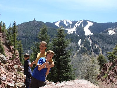
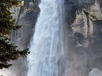
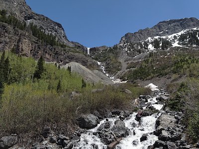
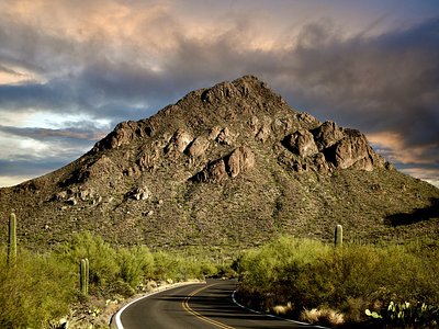
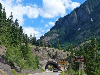
Looking for more outdoor adventures? Explore waterfall hikes near Geyser Warm Spring, Colorado.