Soda Springs
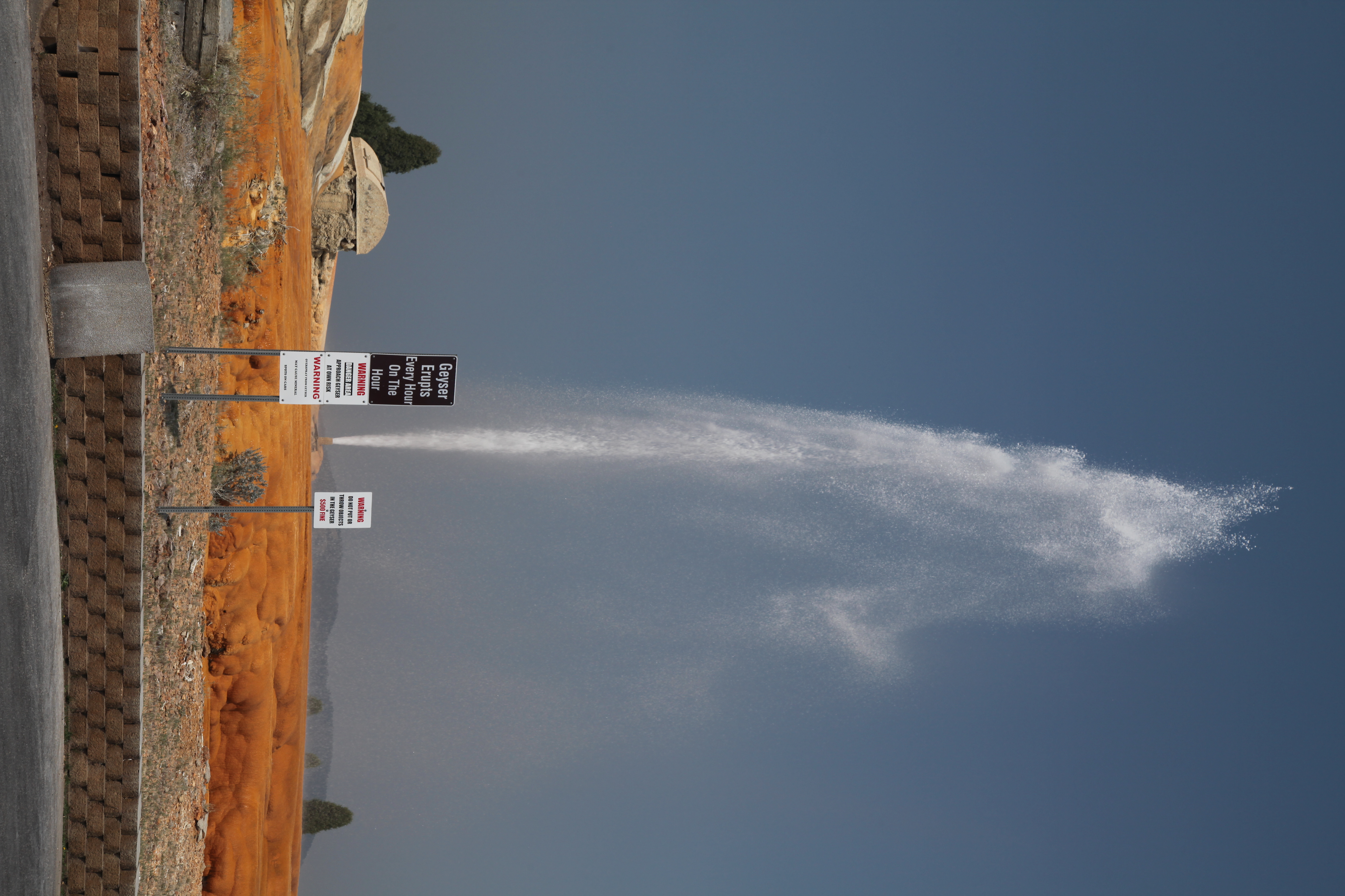
Soda Springs, the spring, sits inside the town of Soda Springs in Caribou County, under a mile from the center. The water is tepid, low eighties on a USGS measurement that dates to 1923. Land ownership and access have not been entered. Someone has put a photo on file.
Geyser Loop runs a few feet away, about as roadside as it gets. The town sits high, with average temperatures in the low forties. Precipitation is about average, and the snow total lands near seven feet.
Eight Mile Guard Station, nine miles out, is what the record lists for camping. The record favors December through February. The temperature reading is over a hundred years old, so do not count on it. Ownership is not recorded.
The Wikipedia entry on file describes the Soda Springs Geyser as an artesian well drilled into the carbonated aquifer beneath the town. Thousands of natural springs in the area were a landmark on the Oregon Trail.
Aircraft with laser scanners measured this ground to within inches. The scan strips out trees and buildings, leaving the bare shape of the land around Soda Springs.
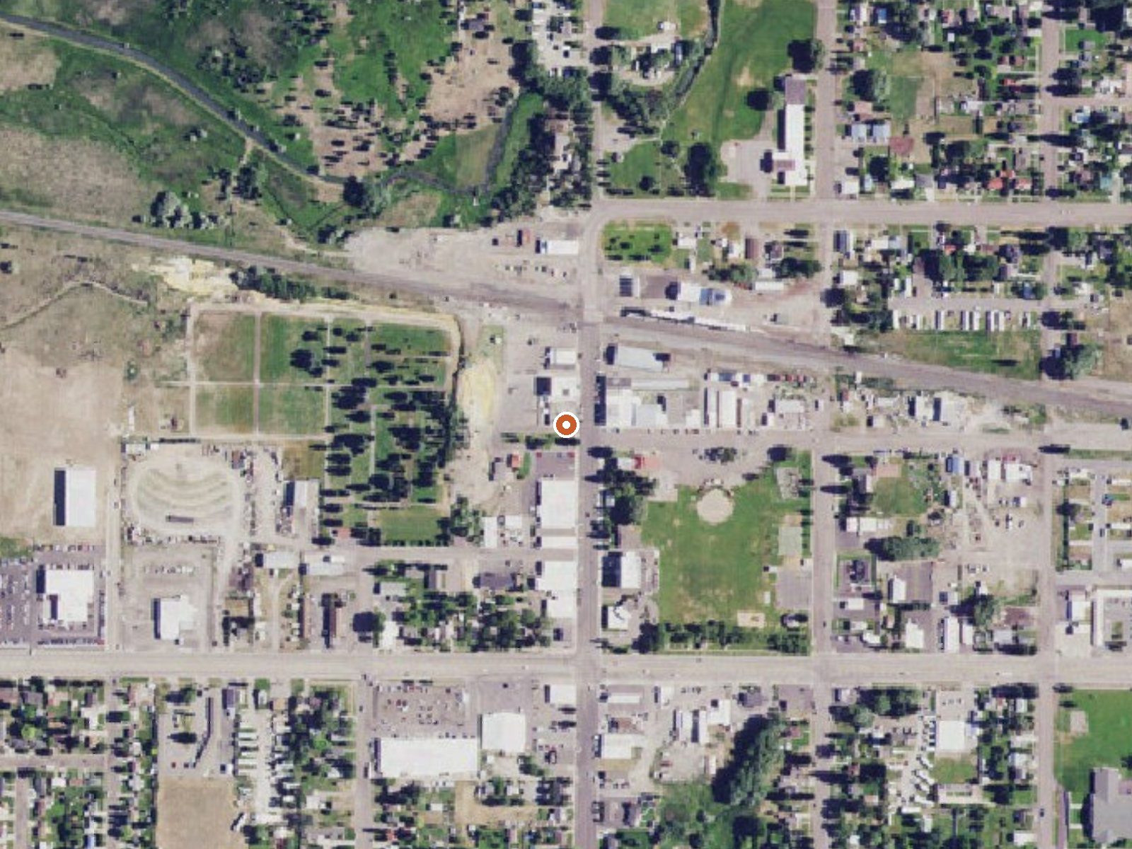
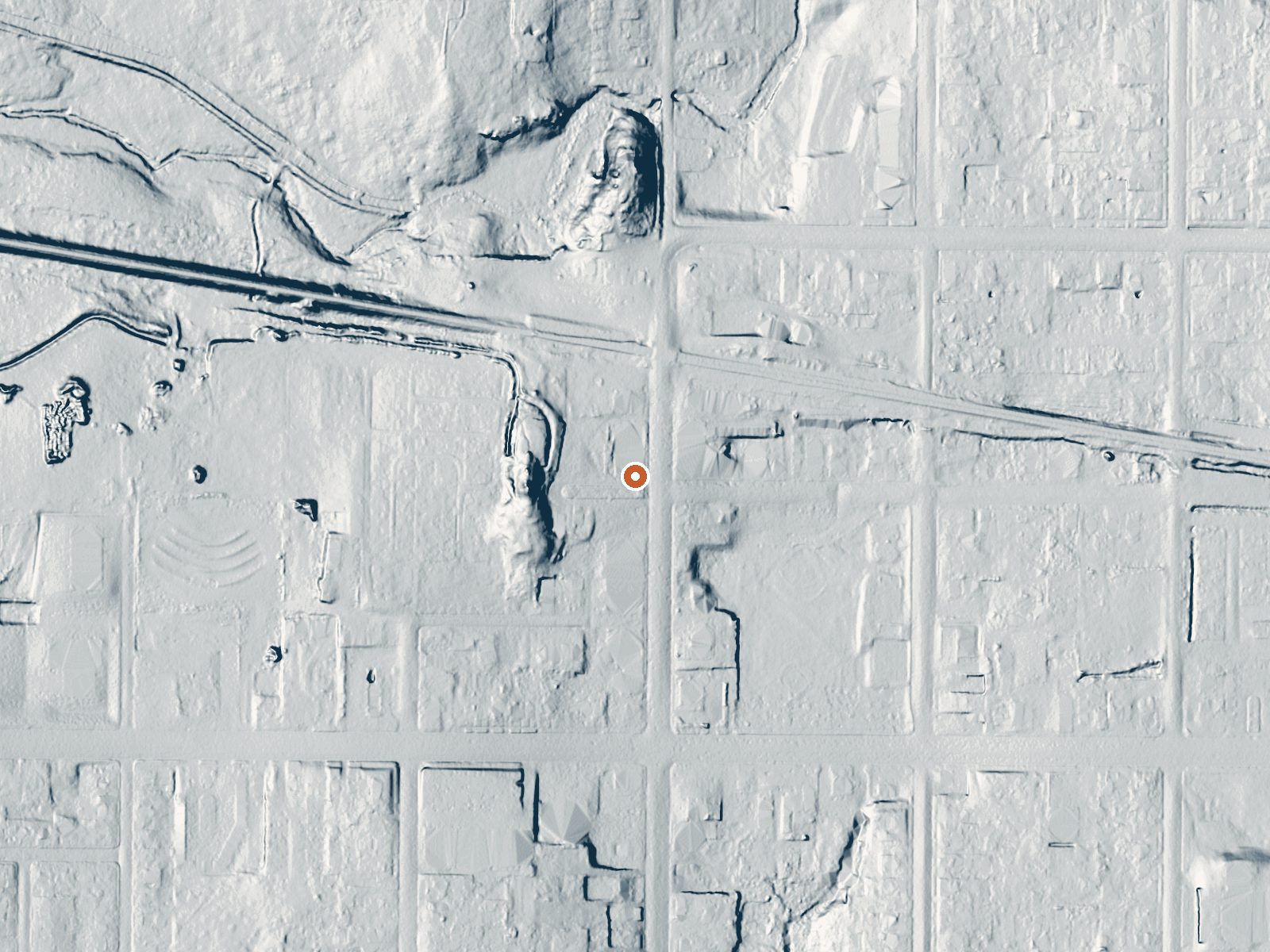
Drag the handle to compare the two views. The orange dot marks the spring, in a frame about three quarters of a mile wide.
- Setting
- Gentle slope
- The ground tilts gently up to the west.
- Highest ground nearby
- 25 ft above the spring
- Within a quarter mile, to the west
A slice through the ground from west to east, about 0.6 miles end to end.
Elevation data: USGS 3D Elevation Program. Aerial imagery: USGS The National Map. Public domain.
That's about 1½ times the US average of 65. It's higher than at 24% of the springs on this site.
Heat flow measures the warmth working its way up through the ground from deep inside the earth. Where it runs high, rain and snowmelt that seep down through cracks in the rock come back up hot.
See every spring on the geothermal heat map →
Heat flow estimate: Stanford Thermal Earth Model (Aljubran & Horne, 2024), CC BY 4.0.
Some links are affiliate links. We may earn a commission at no extra cost to you.
Overview Eight Mile Guard Station is a short drive from Soda Springs, Idaho. It was established as early as 1908. Several buildings have appeared on this site, although most were replaced or relocated. The current cabin was built in 1962. The guard station only accessible by snowmobile in winter, and guests are responsible for their own travel arrangements and safety. Many conveniences are provided, especially in the warmer months, but additional supplies and gear may be needed to ensure a co...
Soda Springs sits at 5,779 feet above sea level, way above the mile-high mark. You may not feel the altitude strongly, but hot water still dehydrates you faster at elevation. UV is about 23% stronger than at sea level, so bring sunscreen and drink more water than you normally would.



As an Amazon Associate, we earn from qualifying purchases.
Soda Springs is road-accessible, so you can bring more gear. Cold air temperatures make a changing robe or warm layers essential.






As an Amazon Associate, we earn from qualifying purchases.
Springs Near Soda Springs
More Springs Around 82°F
Hike 2 waterfalls near Soda Springs
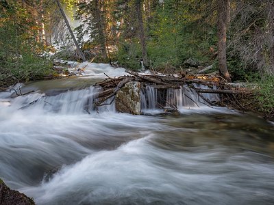
Looking for more outdoor adventures? Explore waterfall hikes near Soda Springs, Idaho.