Blackfoot Reservoir Warm Spring
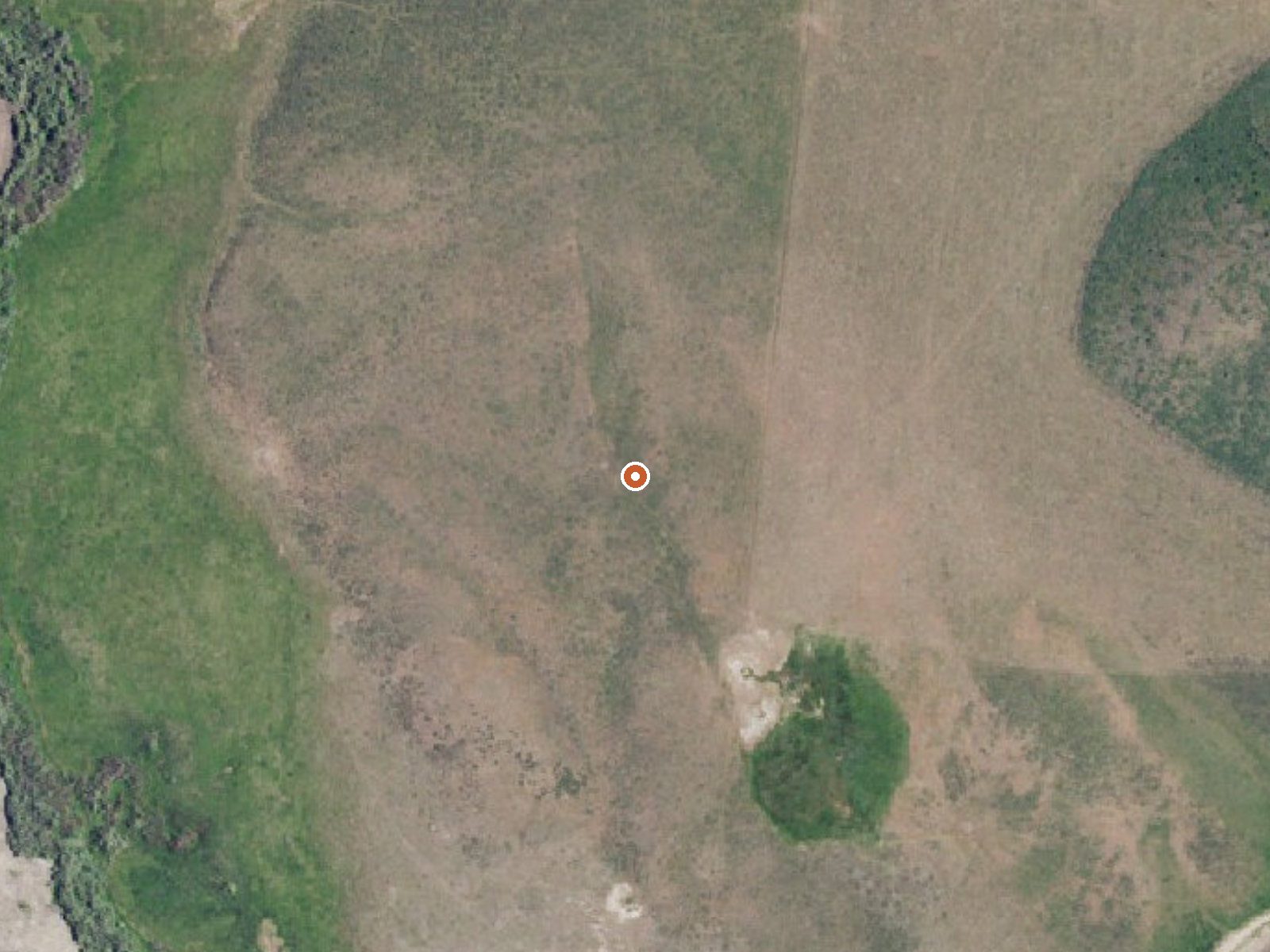
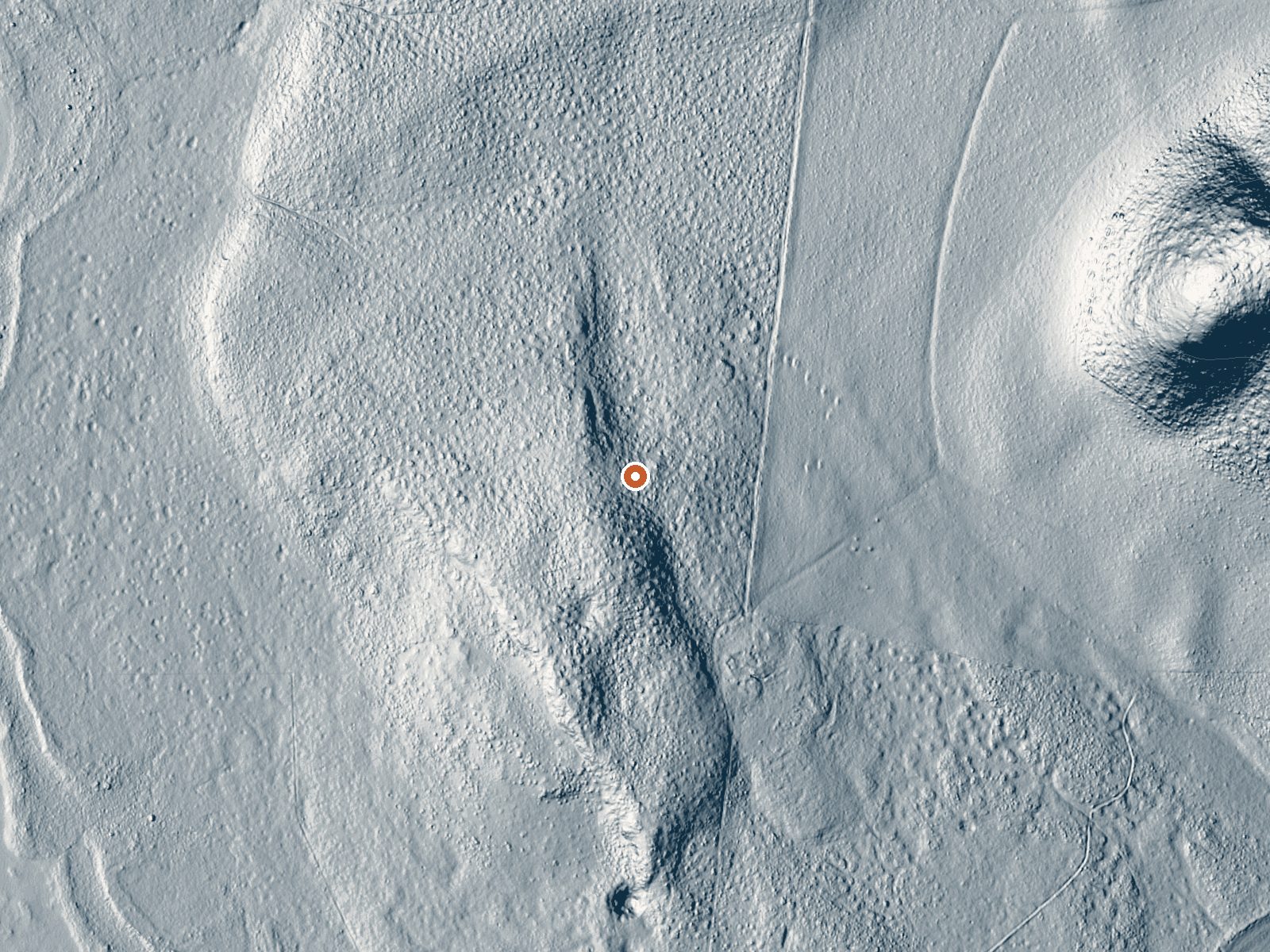
Drag the handle to compare the two views. The orange dot marks the spring, in a frame about three quarters of a mile wide.
Eighteen or nineteen miles from Soda Springs in Caribou County, Idaho, Blackfoot Reservoir Warm Spring runs tepid. Low seventies on file, so warm to the hand and nothing like a hot soak. Owner and access status are absent, and no USGS site is linked. A few hundred feet from the nearest road, filed as a short walk.
Over six thousand feet up, cold on average, with eight feet of snow in a winter. Precipitation runs around two feet. The record gives no road name and no land unit. The spring is close to the road, under four hundred feet. Blackfoot Reservoir Campground, six miles away, is the nearest camping given.
The cold months score best here. Water this cool is for looking at, or a quick dip on a hot day. Nothing on file names an owner, so check before you go. Fees and chemistry are both unrecorded. Blackfoot Reservoir Campground is the overnight option in the record.
Aircraft with laser scanners measured this ground to within inches. The scan strips out trees and buildings, leaving the bare shape of the land around Blackfoot Reservoir Warm Spring.
- Setting
- Open ground
- Flat, open ground all around.
- Highest ground nearby
- 9 ft above the spring
- Within a quarter mile, to the south
A slice through the ground from southwest to northeast, about 0.6 miles end to end.
Elevation data: USGS 3D Elevation Program. Aerial imagery: USGS The National Map. Public domain.
That's about 1½ times the US average of 65. It's higher than at 54% of the springs on this site.
Heat flow measures the warmth working its way up through the ground from deep inside the earth. Where it runs high, rain and snowmelt that seep down through cracks in the rock come back up hot.
See every spring on the geothermal heat map →
Heat flow estimate: Stanford Thermal Earth Model (Aljubran & Horne, 2024), CC BY 4.0.
Overview Blackfoot Reservoir Campground is managed by the Bureau of Land Management (BLM) and is located on the southwest end of the Blackfoot Reservoir. The Reservoir covers 18,000 surface acres when full and is the second largest reservoir in southeastern Idaho. The campground has an annual fee season from May 15th - September 15th and is equipped with 16 fully developed campsites, 12 standard campsites, 6 day-use sites, 2 boat ramps, and an RV dump station. The site offers recreational act...
Blackfoot Reservoir Warm Spring sits at 6,162 feet above sea level, way above the mile-high mark. You may not feel the altitude strongly, but hot water still dehydrates you faster at elevation. UV is about 25% stronger than at sea level, so bring sunscreen and drink more water than you normally would.



As an Amazon Associate, we earn from qualifying purchases.
Springs Near Blackfoot Reservoir Warm Spring
More Springs Around 72°F
Hike 3 waterfalls near Blackfoot Reservoir Warm Spring
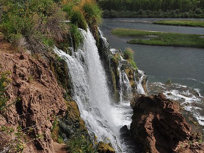
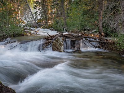
Looking for more outdoor adventures? Explore waterfall hikes near Blackfoot Reservoir Warm Spring, Idaho.