Wilson Lake Warm Spring
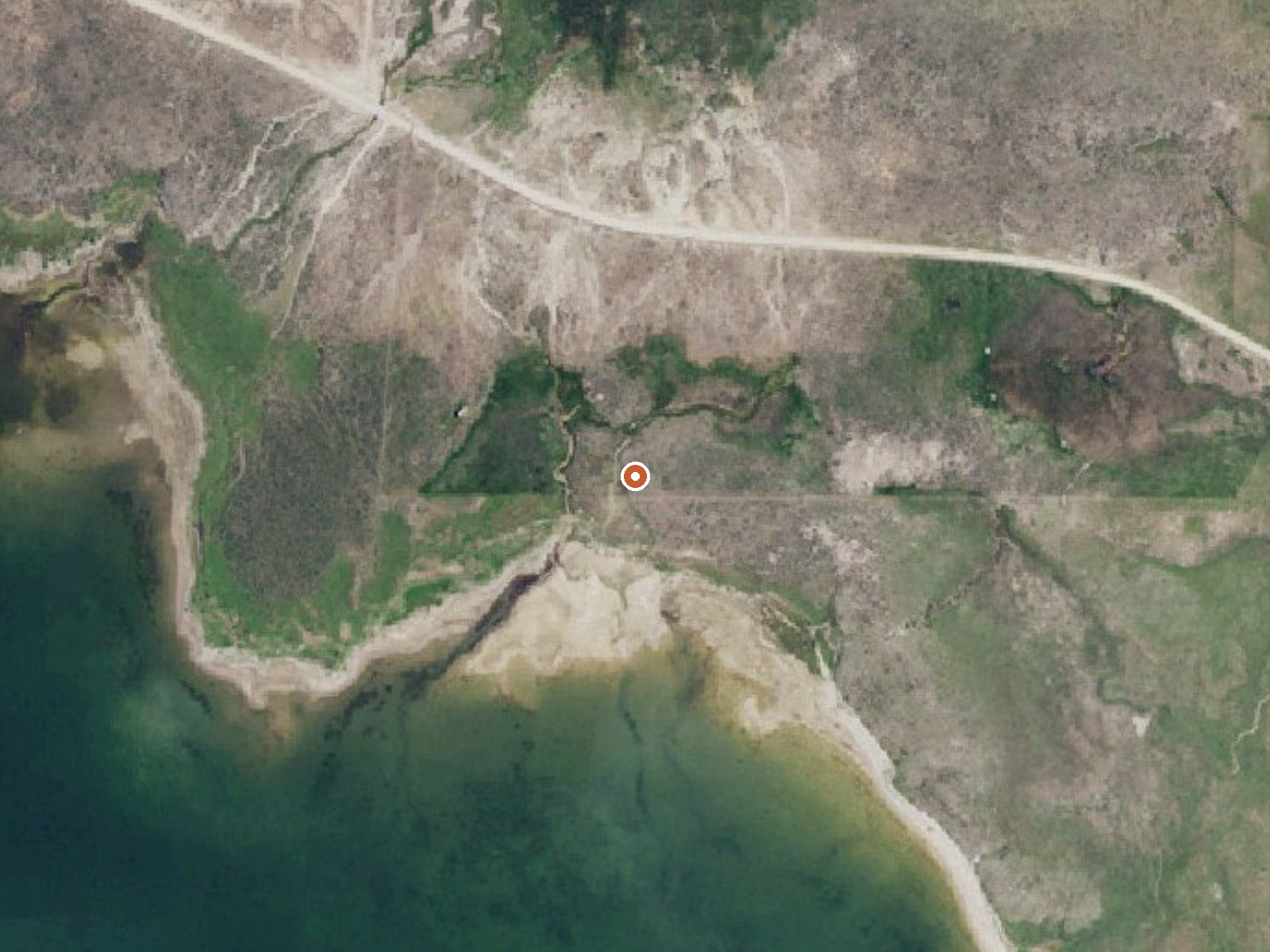
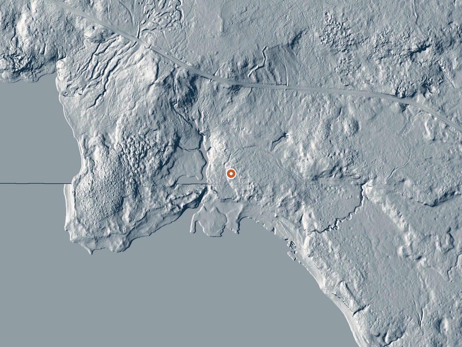
Drag the handle to compare the two views. The orange dot marks the spring, in a frame about three quarters of a mile wide.
Wilson Lake Warm Spring lies in Caribou County about twenty-six miles from Soda Springs, off Government Dam Road, and the water is lukewarm. The temperature on file sits a little under body heat, warm on the skin and no hotter. No water chemistry has been recorded and no USGS site is attached. Owner and access status are missing as well. The temperature stands alone, with no sample date next to it.
Government Dam Road gets you to within five hundred feet or so; the last stretch is on foot. The ground here tops six thousand feet. Close to ninety inches of snow falls in an average winter, with little moisture the rest of the time. Whose land this is, and what unit it falls in, the record leaves blank.
The record suggests December through February. Sage Hen Flats Campground, something over six miles off, is where the nearest camping is recorded. The water is cool enough that heat is no concern. Everything else needs confirming on the ground, starting with permission to be there, because no access status is recorded.
Aircraft with laser scanners measured this ground to within inches. The scan strips out trees and buildings, leaving the bare shape of the land around Wilson Lake Warm Spring.
- Setting
- Open ground
- Flat, open ground all around.
- Highest ground nearby
- 35 ft above the spring
- Within a quarter mile, to the north
A slice through the ground from south to north, about 0.6 miles end to end.
Elevation data: USGS 3D Elevation Program. Aerial imagery: USGS The National Map. Public domain.
That's about twice the US average of 65. It's higher than at 74% of the springs on this site.
Heat flow measures the warmth working its way up through the ground from deep inside the earth. Where it runs high, rain and snowmelt that seep down through cracks in the rock come back up hot.
See every spring on the geothermal heat map →
Heat flow estimate: Stanford Thermal Earth Model (Aljubran & Horne, 2024), CC BY 4.0.
Some links are affiliate links. We may earn a commission at no extra cost to you.
This BLM managed site located along the Blackfoot River that has opportunities for fishing, camping, and non-motorized boating. Campground rules and regulations are posted at the site. There are no dumpsters on site, visitors must pack in and out their trash. Campsites: 4 semi-developed sites--- At this time, there is not a reservation system in place for the campsites. Campsites are on a first come first serve basis. This site is equipped with vault toilets, picnic tables, fire rings, horse...
Wilson Lake Warm Spring sits at 6,134 feet above sea level, way above the mile-high mark. You may not feel the altitude strongly, but hot water still dehydrates you faster at elevation. UV is about 25% stronger than at sea level, so bring sunscreen and drink more water than you normally would.



As an Amazon Associate, we earn from qualifying purchases.
Wilson Lake Warm Spring is road-accessible, so you can bring more gear. Cold air temperatures make a changing robe or warm layers essential.






As an Amazon Associate, we earn from qualifying purchases.
Springs Near Wilson Lake Warm Spring
More Springs Around 86°F
Hike 2 waterfalls near Wilson Lake Warm Spring
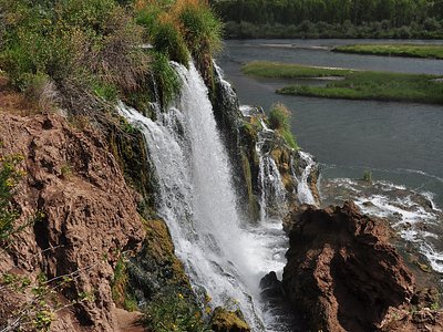
Looking for more outdoor adventures? Explore waterfall hikes near Wilson Lake Warm Spring, Idaho.