Hot Spring
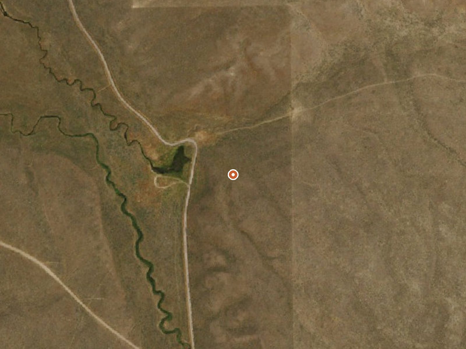
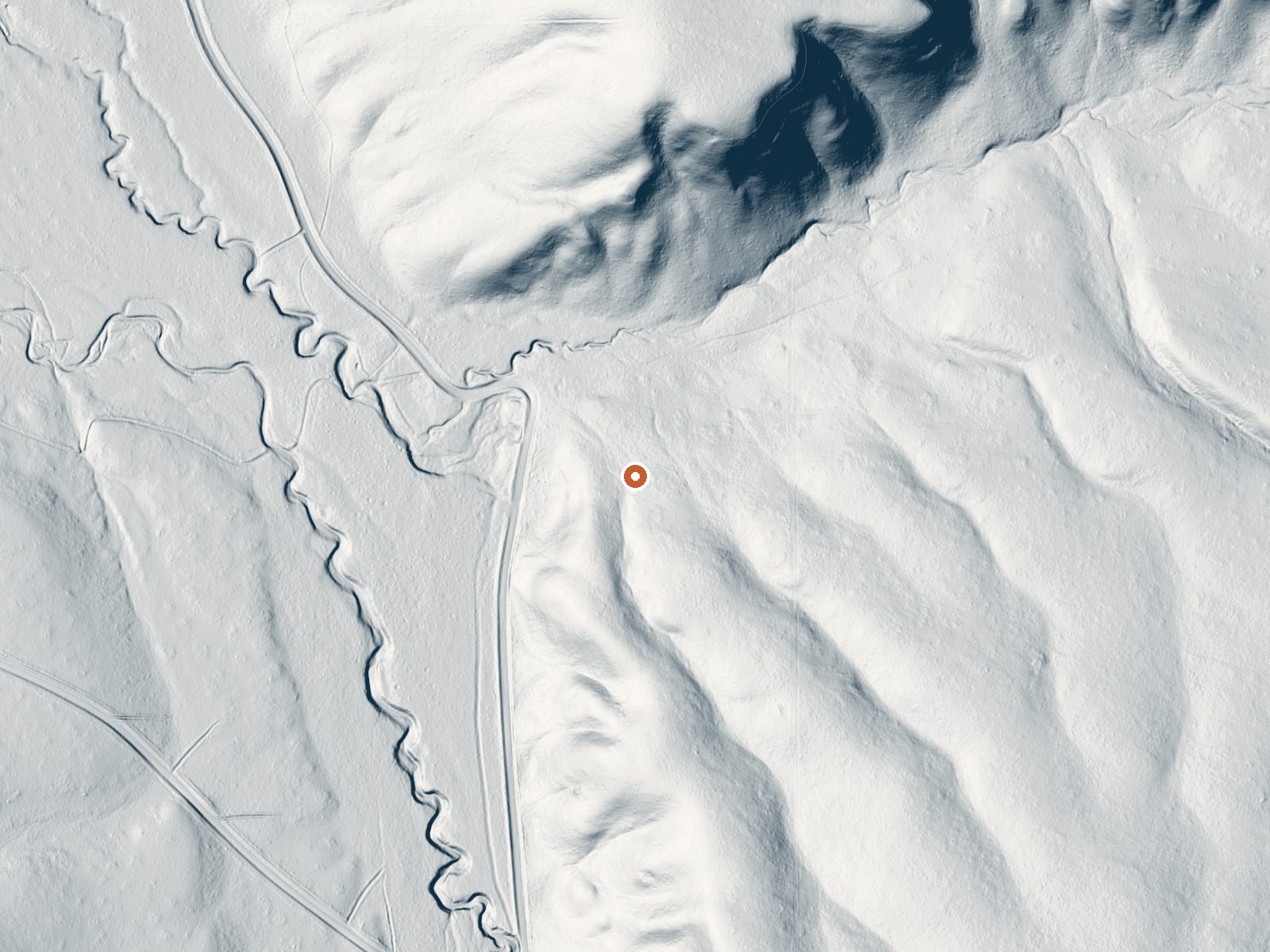
Drag the handle to compare the two views. The orange dot marks the spring, in a frame about three quarters of a mile wide.
This Hot Spring sits near Jackpot in Elko County, about fifteen miles out, and runs warm, mid-eighties. Basin Road is the road on file, roughly three hundred and fifty feet off. Ownership is not recorded and access is blank. Diamondfield Jack Campground is the nearest camping, fourteen miles away. Chemistry and photo are both missing.
Fifty-eight hundred feet up, with heavy winters: nearly five feet of snow and sixteen inches of annual precipitation. The walk from Basin Road is short, a few hundred feet over ground the record does not assign to anyone. Neither the pool nor its surroundings is described on file. The average temperature for the year is in the mid-forties.
The record flags December through February, and snow of that depth means checking the road first. Camp at Diamondfield Jack Campground, fourteen miles off. With no owner named, permission is unresolved. No fee on file. Mid-eighties water is no hazard. The depth of the water is not on record, and nobody dated the temperature reading.
Aircraft with laser scanners measured this ground to within inches. The scan strips out trees and buildings, leaving the bare shape of the land around Hot Spring.
- Setting
- Valley floor
- Gentle slopes rise on both sides.
- Highest ground nearby
- 105 ft above the spring
- Within a quarter mile, to the northeast
A slice through the ground from northwest to southeast, about 0.6 miles end to end.
Elevation data: USGS 3D Elevation Program. Aerial imagery: USGS The National Map. Public domain.
That's about 1½ times the US average of 65. It's higher than at 61% of the springs on this site.
Heat flow measures the warmth working its way up through the ground from deep inside the earth. Where it runs high, rain and snowmelt that seep down through cracks in the rock come back up hot.
See every spring on the geothermal heat map →
Heat flow estimate: Stanford Thermal Earth Model (Aljubran & Horne, 2024), CC BY 4.0.
Diamondfield Jack Campground and Picnic Area is located at the end of a paved road in Rock Creek. The campground is suitable for motor homes, trailers, and tent camping. This area is accessible year around. Campground amenities include drinking water, wheelchair accessible toilets, picnic tables, warming shelter, parking area, and fire rings. It is a winter play area from December through March. Pike Mountain and Eagle Trails (#239 and #243) are easy multi-use trails nearby.
Hot Spring sits at 5,800 feet above sea level, way above the mile-high mark. You may not feel the altitude strongly, but hot water still dehydrates you faster at elevation. UV is about 23% stronger than at sea level, so bring sunscreen and drink more water than you normally would.



As an Amazon Associate, we earn from qualifying purchases.
Springs Near Hot Spring
More Springs Around 86°F
Hike 6 waterfalls near Hot Spring
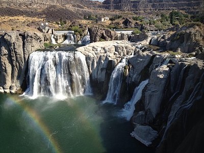
Looking for more outdoor adventures? Explore waterfall hikes near Hot Spring, Nevada.