Blue Creek Spring
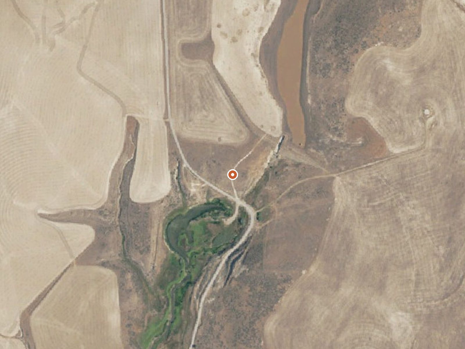
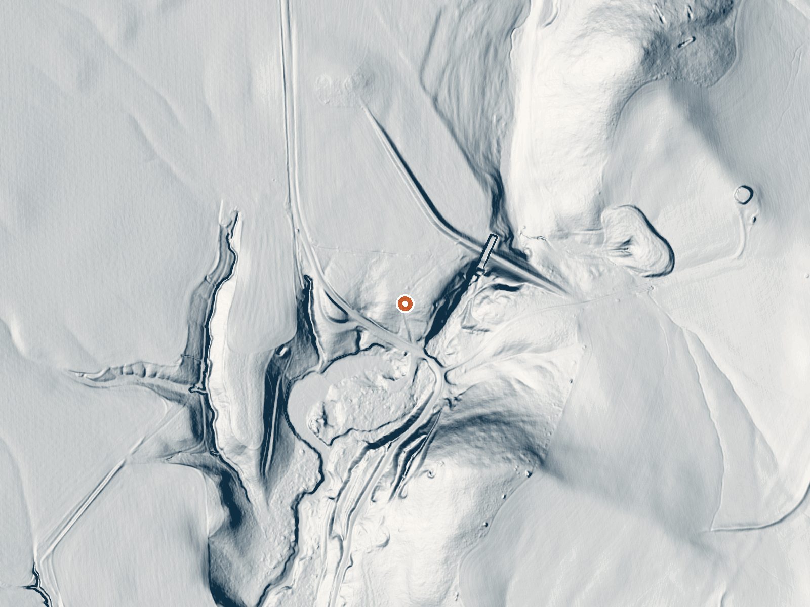
Drag the handle to compare the two views. The orange dot marks the spring, in a frame about three quarters of a mile wide.
Blue Creek Spring rises in Box Elder County in the far north of Utah, sixteen miles or so from Garland. The flow is warm, below soaking heat, and a 1970 sample shows moderately mineralized water on the alkaline side. There is no owner named and no access status. What it looks like on the ground, a pool or a seep, the record does not say.
The spring is a couple hundred feet off a road called 18000 West, in high valley country. Winters bring a little under three feet of snow most years, with moderate precipitation overall. Curlew Campground is the closest one named, around twenty miles distant.
Winter months are the ones the record picks. Roadside access means no walking, though with no ownership on file you should find out whose ground this is first. Camping is far; Curlew is the closest and it is a real drive. The water reading is over fifty years old. No fee is noted anywhere in the record. Garland is the town to ask in.
Aircraft with laser scanners measured this ground to within inches. The scan strips out trees and buildings, leaving the bare shape of the land around Blue Creek Spring.
- Setting
- Gentle slope
- The ground tilts gently up to the south.
- Highest ground nearby
- 97 ft above the spring
- Within a quarter mile, to the south
A slice through the ground from north to south, about 0.6 miles end to end.
Elevation data: USGS 3D Elevation Program. Aerial imagery: USGS The National Map. Public domain.
That's about twice the US average of 65. It's higher than at 84% of the springs on this site.
Heat flow measures the warmth working its way up through the ground from deep inside the earth. Where it runs high, rain and snowmelt that seep down through cracks in the rock come back up hot.
See every spring on the geothermal heat map →
Heat flow estimate: Stanford Thermal Earth Model (Aljubran & Horne, 2024), CC BY 4.0.
The water at Blue Creek Spring is slightly alkaline (pH 7.9) with 2010 mg/L total dissolved solids. It is notably rich in sodium (supports circulation and skin hydration), chloride (natural antiseptic with skin health benefits), and total dissolved solids (higher mineral concentration for therapeutic soaking).
Overview Curlew Campground is located just seven miles north of Snowville, Utah, and fewer than 10 miles south of Holbrook, Idaho. The campground is adjacent to Stone Reservoir in the Curlew National Grassland. It sits at an elevation of 4,700 feet. Recreation Stone Reservoir is closed to all motor crafts, boats and water crafts do to invasive spieces.The surrounding area is crisscrossed by numerous off-road vehicle trails. Horseback riding is allowed on the open range. Facilities The campgro...