Springs
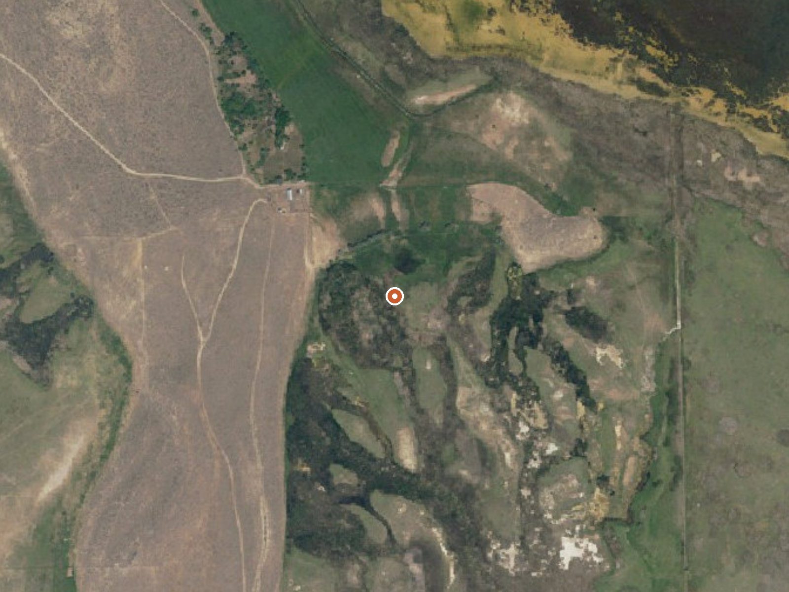
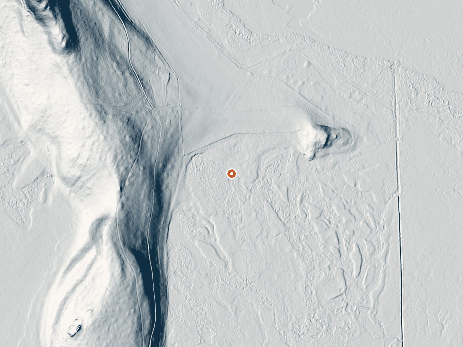
Drag the handle to compare the two views. The orange dot marks the spring, in a frame about three quarters of a mile wide.
Another unnamed thermal point, this one in Box Elder County, Utah, seven miles from Tremonton and entered on the record as Springs. Lukewarm water. No chemistry sample exists for it. Land ownership and access are both blank.
A few hundred feet off an unnamed road, the spring sits low on the valley floor at around 4,250 feet. The climate is moderately wet for northern Utah, with close to three feet of snow over winter.
Winter months are listed as best. Box Elder Campground is the nearest camping on record, about twenty miles away. No temperature history beyond the single reading and no water chemistry exist. Access is unknown, so do not walk in blind.
Aircraft with laser scanners measured this ground to within inches. The scan strips out trees and buildings, leaving the bare shape of the land around Springs.
- Setting
- Gentle slope
- The ground tilts gently up to the northwest.
- Highest ground nearby
- 88 ft above the spring
- Within a quarter mile, to the northwest
A slice through the ground from northwest to southeast, about 0.6 miles end to end.
Elevation data: USGS 3D Elevation Program. Aerial imagery: USGS The National Map. Public domain.
That's about 1½ times the US average of 65. It's higher than at 45% of the springs on this site.
Heat flow measures the warmth working its way up through the ground from deep inside the earth. Where it runs high, rain and snowmelt that seep down through cracks in the rock come back up hot.
See every spring on the geothermal heat map →
Heat flow estimate: Stanford Thermal Earth Model (Aljubran & Horne, 2024), CC BY 4.0.
Overview Box Elder Campground is situated next to the town of Mantua and Mantua Reservoir in a pretty mountain valley just 5 miles from Brigham City, Utah. Visitors enjoy boating, fishing and exploring area trails. Please click here for a corrected map of Box Elder Campground. Recreation Mantua Reservoir is just one mile away, offering fishing, boating, canoeing and swimming. Horseback riding and hiking on local trails are also popular activities.Facilities Box Elder contains four group sit...