Castilla Springs
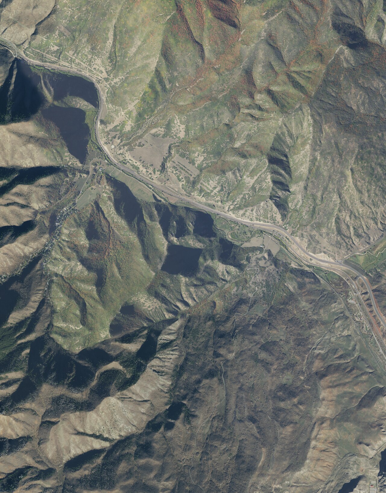
Castilla Springs comes out hot, comfortably above a bath, about six miles from Mapleton. A 1967 analysis shows the water loaded with dissolved minerals, salty, with sulfate and chloride high. No owner and no public access status appear in the record, so whoever manages it today is unknown here. Utah County is where it sits, with Diamond campground close by.
A short walk of five hundred feet or so separates the spring from the road, and that road carries no name on file. Winter is serious in this corner of Utah: six feet of snow most years and close to twenty inches of precipitation. Diamond campground is under six miles off.
December to February is the window the record gives, though with that much snow the short walk may be in drifts. The water is above 100 degrees, so lower yourself in gradually. Nothing on file confirms public access. The mineral reading is nearly sixty years old. No fee is mentioned.
Aircraft with laser scanners measured this ground to within inches. The scan strips out trees and buildings, leaving the bare shape of the land around Castilla Springs.
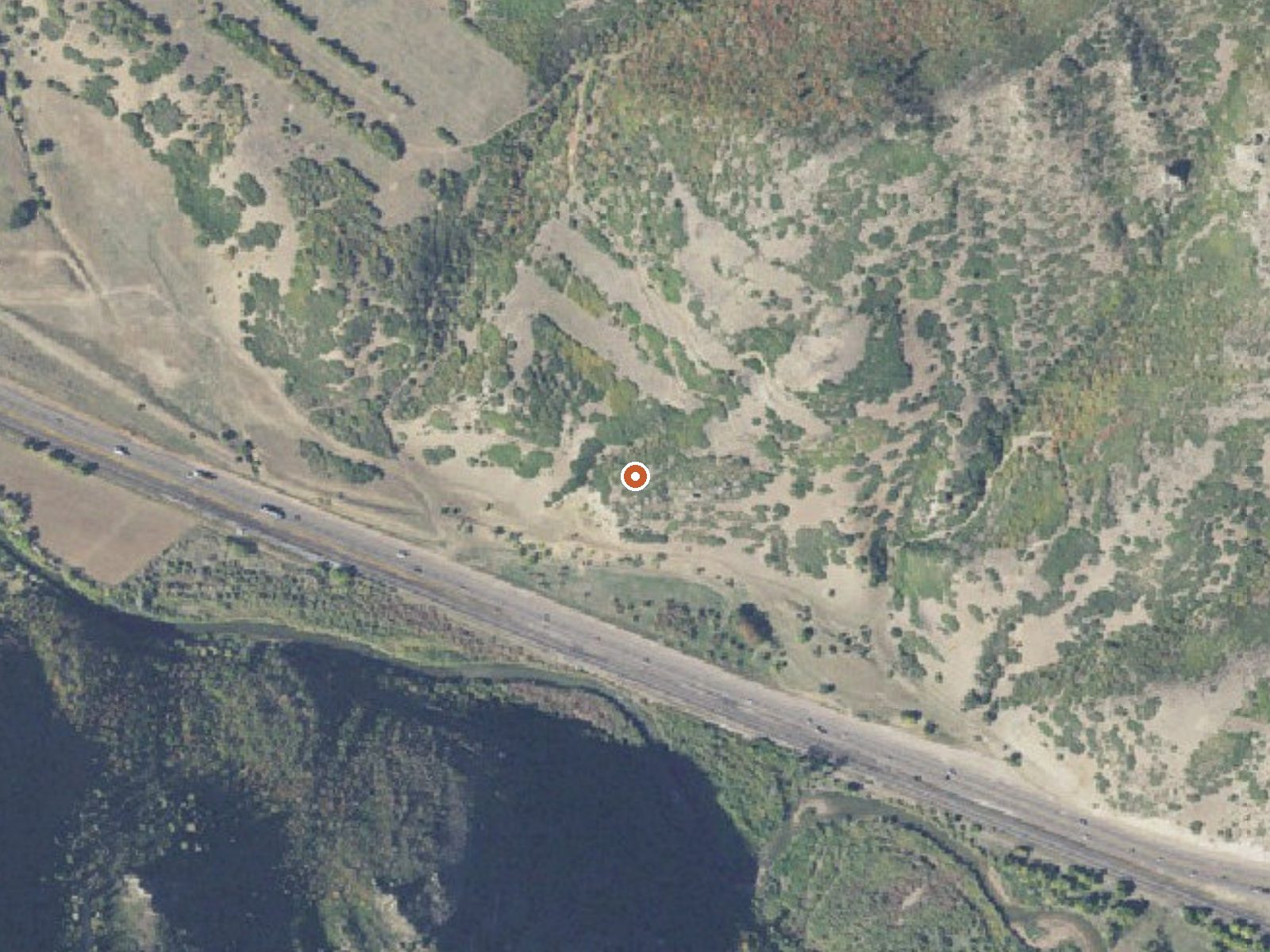
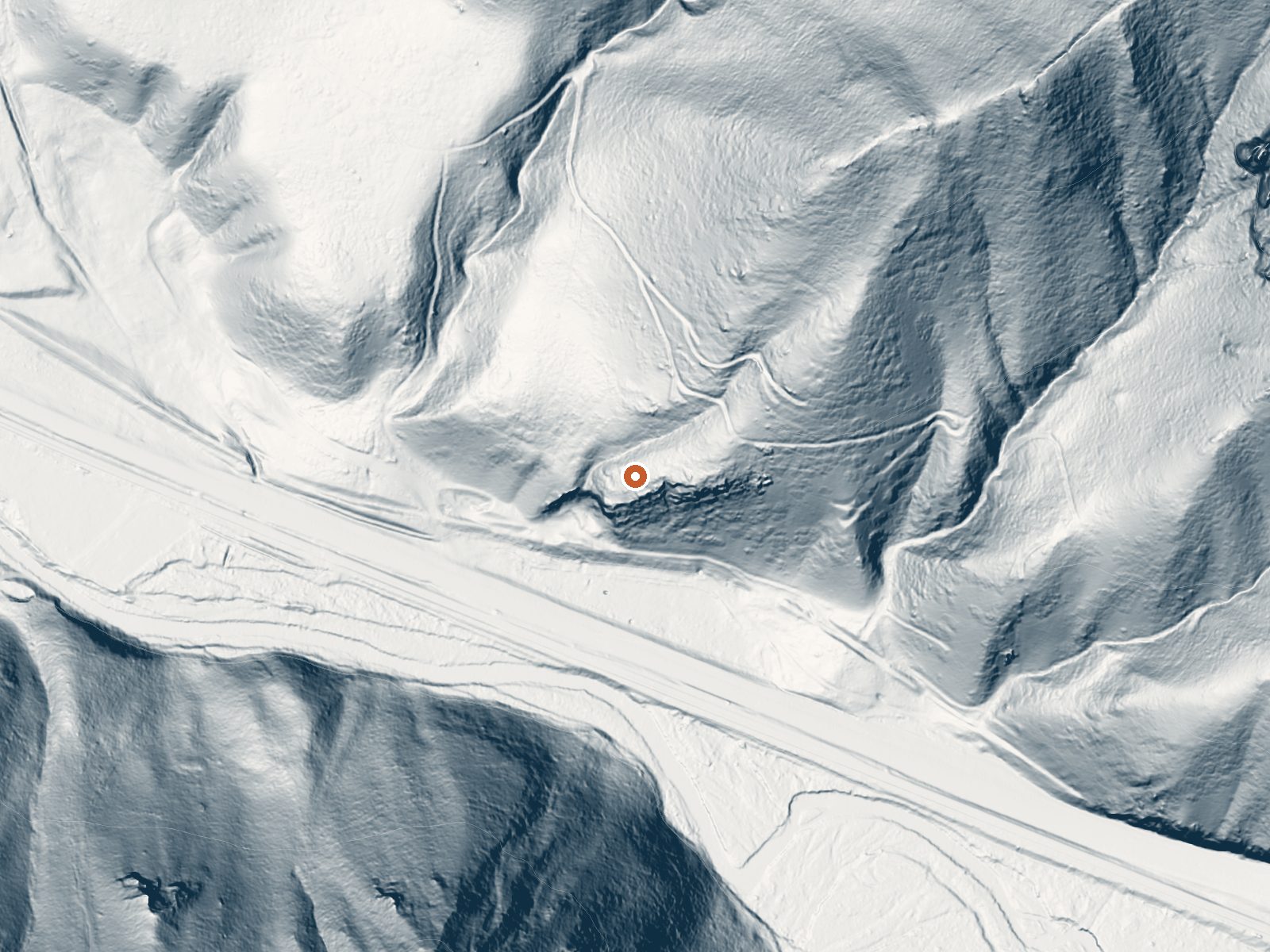
Drag the handle to compare the two views. The orange dot marks the spring, in a frame about three quarters of a mile wide.
- Setting
- Hillside
- The spring sits on a steep slope that climbs to the northeast.
- Highest ground nearby
- 533 ft above the spring
- Within a quarter mile, to the northeast
A slice through the ground from west to east, about 0.6 miles end to end.
Elevation data: USGS 3D Elevation Program. Aerial imagery: USGS The National Map. Public domain.
That's about twice the US average of 65. It's higher than at 87% of the springs on this site.
Heat flow measures the warmth working its way up through the ground from deep inside the earth. Where it runs high, rain and snowmelt that seep down through cracks in the rock come back up hot.
See every spring on the geothermal heat map →
Heat flow estimate: Stanford Thermal Earth Model (Aljubran & Horne, 2024), CC BY 4.0.
The water at Castilla Springs is slightly alkaline (pH 7.9) with 6610 mg/L total dissolved solids. It is notably rich in calcium (may support bone density and joint health), magnesium (known for muscle relaxation and stress relief), and sodium (supports circulation and skin hydration).
Some links are affiliate links. We may earn a commission at no extra cost to you.
Overview Diamond Campground is located among shady cottonwoods and willow at an elevation of 5,200 feet. The family sites are located just 15 miles from Spanish Fork and the group sites are 2-3 miles further. Visitors enjoy exploring local trails and relaxing along the stream.Recreation The stream and creek offer fishing for brown and cutthroat trout. An interpretive nature trail winds through the campground along the stream. Hiking, biking and off-road vehicle trails are abundant in the area...
Castilla Springs is road-accessible, so you can bring more gear.






As an Amazon Associate, we earn from qualifying purchases.
Springs Near Castilla Springs
More Springs Around 104°F
Slightly Alkaline Springs (pH ~7.9)
Hike 6 waterfalls near Castilla Springs
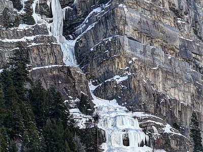
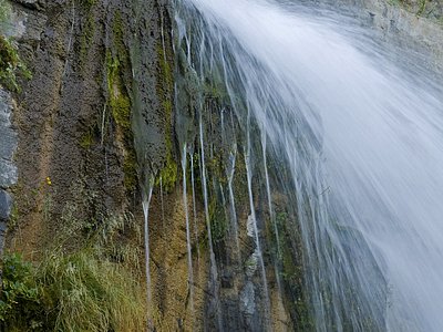
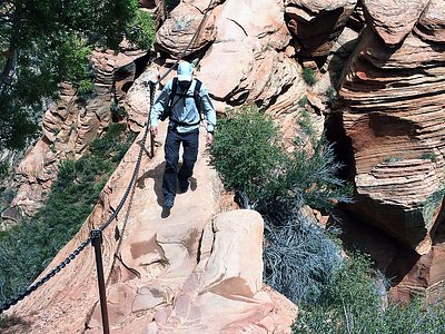
Looking for more outdoor adventures? Explore waterfall hikes near Castilla Springs, Utah.