Goshen Warm Srings

Goshen Warm Springs lies within the Goshen Warm Springs State Wildlife Area in Utah County, four miles from Genola. The water is tepid. Public access is marked restricted, which on a wildlife area usually means rules to follow, though the record does not spell them out. There is a photo.
State Street is the nearest road, and the spring is a short walk of a few hundred feet from it. Valley elevation. The land is state-run conservation ground. Snow comes to around four feet over a winter, and precipitation is moderate.
Winter is the listed season. Tinney Flat is about eight miles off for camping. Restricted access is the main thing to sort out; contact the wildlife area before you plan on getting near the water. No chemistry is on file and no sample date, so the temperature stands alone.
USGS hasn't flown a detailed laser scan here yet, so this view comes from aerial photos and older elevation data.
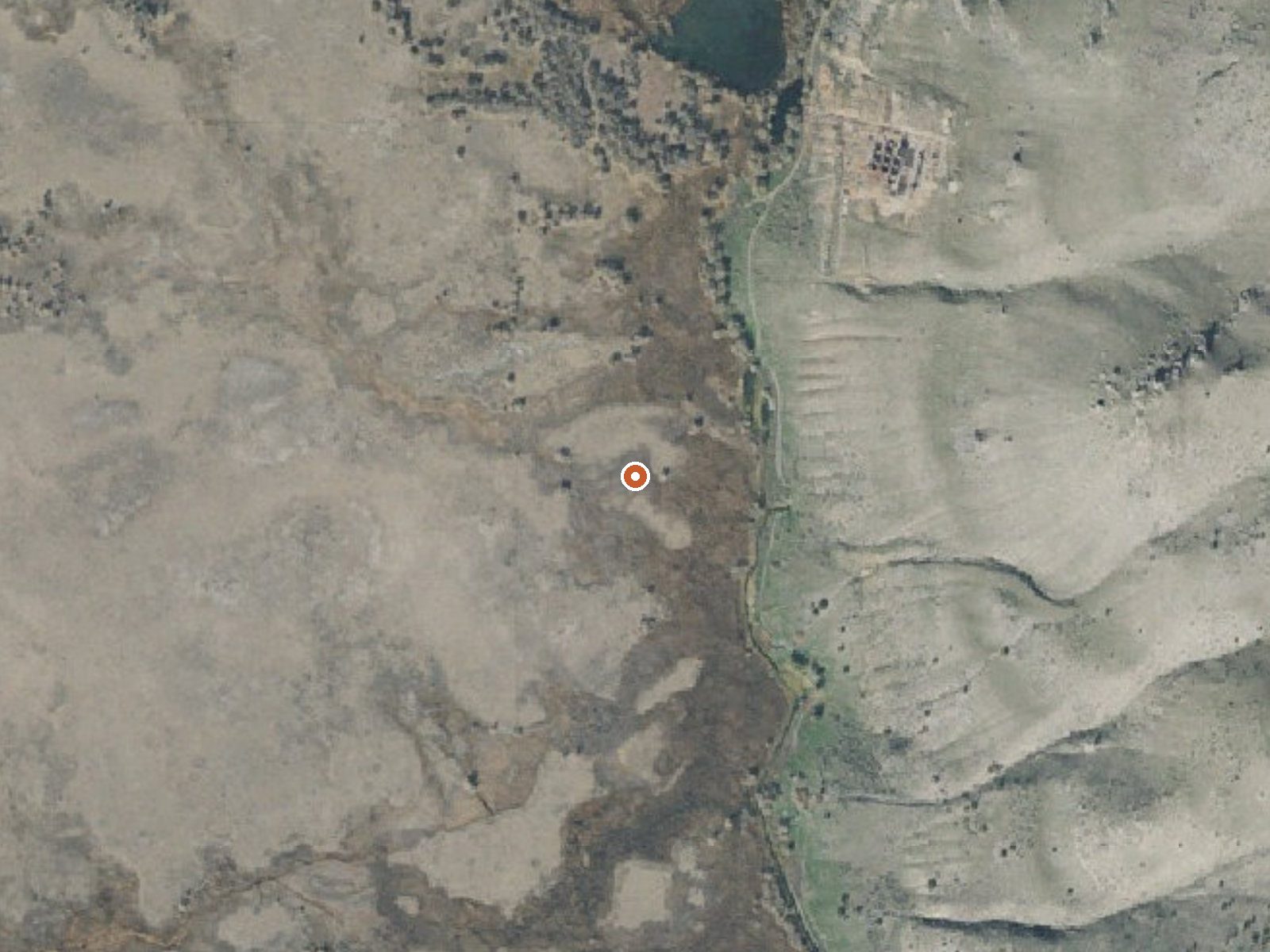
The orange dot marks the spring, in a frame about three quarters of a mile wide.
- Setting
- Hillside
- The spring sits on a steep slope that climbs to the east.
- Highest ground nearby
- 412 ft above the spring
- Within a quarter mile, to the east
A slice through the ground from west to east, about 0.6 miles end to end.
Elevation data: USGS 3D Elevation Program. Aerial imagery: USGS The National Map. Public domain.
That's about 1½ times the US average of 65. It's higher than at 57% of the springs on this site.
Heat flow measures the warmth working its way up through the ground from deep inside the earth. Where it runs high, rain and snowmelt that seep down through cracks in the rock come back up hot.
See every spring on the geothermal heat map →
Heat flow estimate: Stanford Thermal Earth Model (Aljubran & Horne, 2024), CC BY 4.0.
Some links are affiliate links. We may earn a commission at no extra cost to you.
Overview Tinney Flat Campground is located in scenic Santaquin Canyon, just 9 miles from town at an elevation of 7,000 feet. Visitors enjoy fishing and exploring local trails.Recreation Santaquin Creek runs alongside the campground, offering rainbow trout fishing. White Pine Hollow and Calkens Hollow Trails begin within the campground.Facilities The campground contains three group sites that can each accommodate up to 50 people. Sites are equipped with picnic and serving tables, campfire circ...
Goshen Warm Srings is road-accessible, so you can bring more gear.






As an Amazon Associate, we earn from qualifying purchases.
Springs Near Goshen Warm Srings
More Springs Around 73°F
Hike 6 waterfalls near Goshen Warm Srings
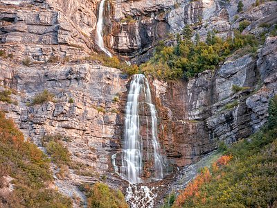
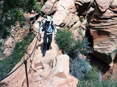
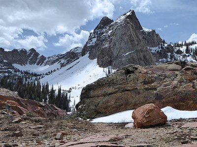
Looking for more outdoor adventures? Explore waterfall hikes near Goshen Warm Srings, Utah.