Ray Lunt Spring
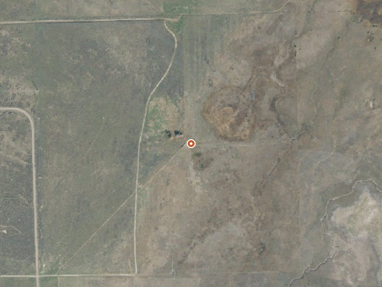
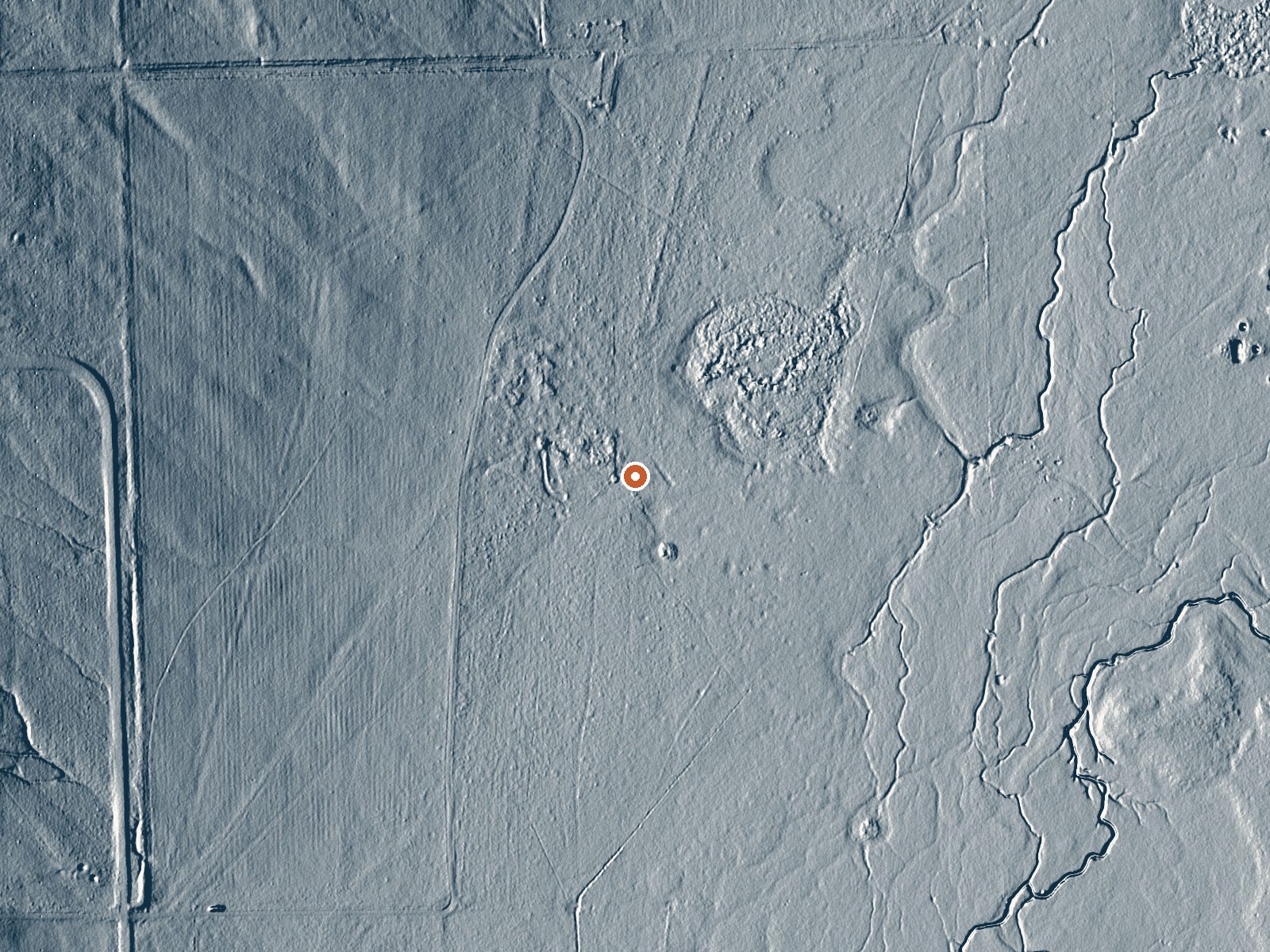
Drag the handle to compare the two views. The orange dot marks the spring, in a frame about three quarters of a mile wide.
Ray Lunt Spring is a barely warm spring a couple of miles from Mona in Juab County, Utah. It carries a person's name and a single USGS water sample from 1965. The water is cool enough that soaking is off the table. Who owns the ground, and if visitors are allowed, are both blank on the record.
Short walk territory, a third of a mile in from a road nobody has named on record. The valley sits a bit under five thousand feet and picks up about four feet of snow across the winter. Nothing is listed for land unit or designation, and no manager appears either.
Winter is listed, though there is little reason to go then for the water itself given how cool it runs. Bear Canyon campground is eight miles off. The sample is sixty years old and shows fairly mineral water. Access is unrecorded.
Aircraft with laser scanners measured this ground to within inches. The scan strips out trees and buildings, leaving the bare shape of the land around Ray Lunt Spring.
- Setting
- Open ground
- Flat, open ground all around.
- Highest ground nearby
- 27 ft above the spring
- Within a quarter mile, to the northwest
A slice through the ground from northwest to southeast, about 0.6 miles end to end.
Elevation data: USGS 3D Elevation Program. Aerial imagery: USGS The National Map. Public domain.
That's about twice the US average of 65. It's higher than at 88% of the springs on this site.
Heat flow measures the warmth working its way up through the ground from deep inside the earth. Where it runs high, rain and snowmelt that seep down through cracks in the rock come back up hot.
See every spring on the geothermal heat map →
Heat flow estimate: Stanford Thermal Earth Model (Aljubran & Horne, 2024), CC BY 4.0.
The water at Ray Lunt Spring is neutral (pH 7.2) with 962 mg/L total dissolved solids. It is notably rich in chloride (natural antiseptic with skin health benefits).
Overview Bear Canyon Campground is situated on the boundary of the Mount Nebo Wilderness Area just off the Nebo Loop Scenic Byway at an elevation of 6,800 feet. Visitors enjoy hiking and fishing in this quiet canyon.Recreation Salt Creek runs along the edge of campground, offering rainbow trout fishing. Bear Canyon Trail, for hiking, biking and horseback riding, begins at the campground entrance.Facilities The campground contains three large group sites with picnic tables, serving tables, gri...
Springs Near Ray Lunt Spring
More Springs Around 68°F
Neutral Springs (pH ~7.2)
Hike 5 waterfalls near Ray Lunt Spring
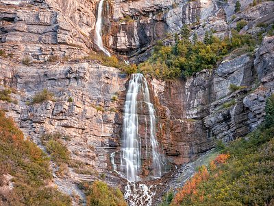
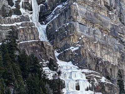
Looking for more outdoor adventures? Explore waterfall hikes near Ray Lunt Spring, Utah.