Hughet Spring
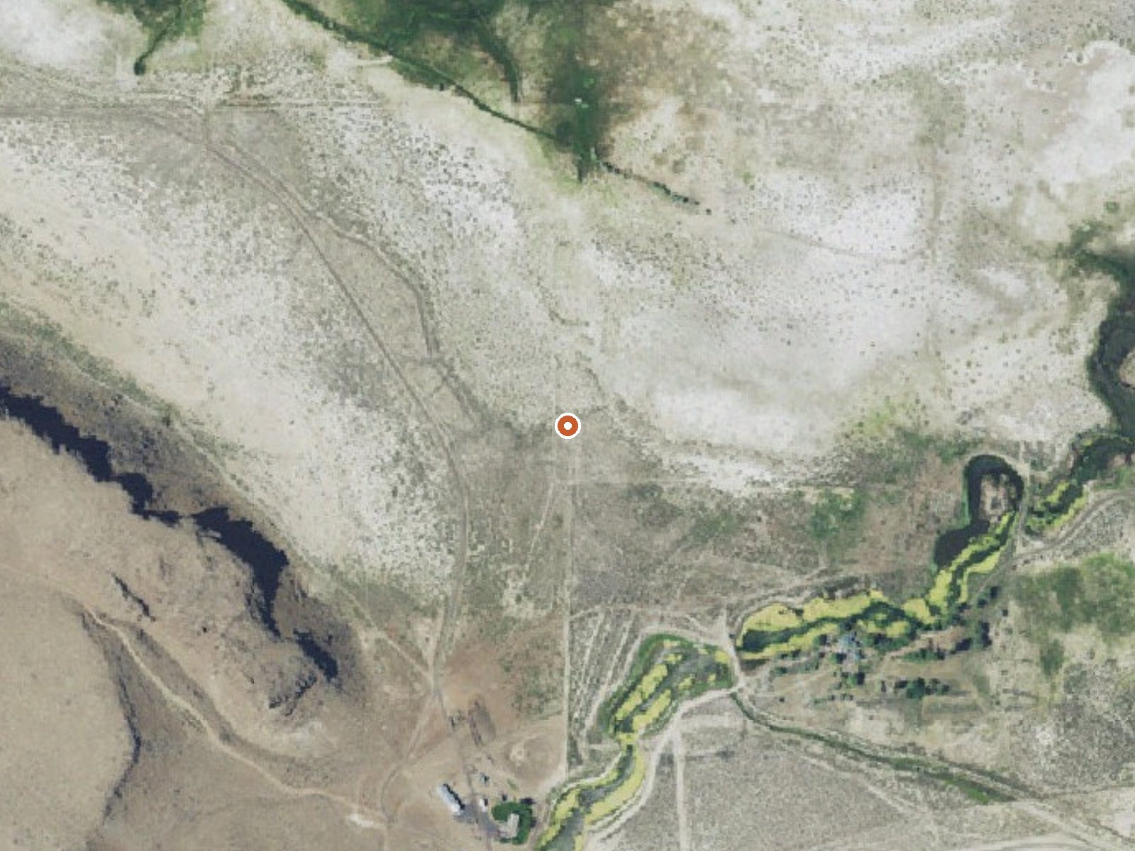
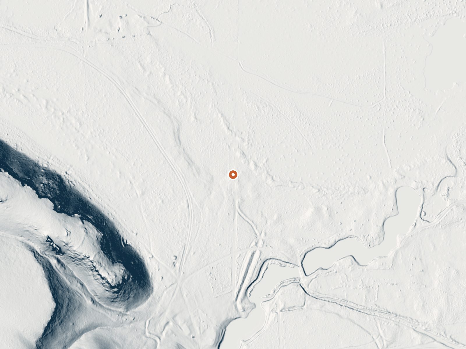
Drag the handle to compare the two views. The orange dot marks the spring, in a frame about three quarters of a mile wide.
Hughet Spring turns up in the USGS thermal inventory for Harney County, twenty-three miles from Hines. Barely warm is the honest description, cooler than a bath that has been sitting. A sample in 2017 came back low in dissolved solids. The record names no owner and says nothing about getting in. Geologic curiosity more than somewhere to head for. There is no picture.
A road comes within about four hundred feet, but no name for it is given, so the last bit is a short walk. The ground is four-thousand-foot basin country, with two feet of snow in a normal winter. Rain is light through the year, and summers are dry.
The record's best months are the cold ones, but with water this cool there is no soak to time. No campground is listed near here. Access is unknown, so be ready to turn around at a fence. The 2017 sample is the newest chemistry on file.
Aircraft with laser scanners measured this ground to within inches. The scan strips out trees and buildings, leaving the bare shape of the land around Hughet Spring.
- Setting
- Gentle slope
- The ground tilts gently up to the west.
- Highest ground nearby
- 192 ft above the spring
- Within a quarter mile, to the west
A slice through the ground from west to east, about 0.6 miles end to end.
Elevation data: USGS 3D Elevation Program. Aerial imagery: USGS The National Map. Public domain.
That's close to the US average of 65. It's higher than at 7% of the springs on this site.
Heat flow measures the warmth working its way up through the ground from deep inside the earth. Where it runs high, rain and snowmelt that seep down through cracks in the rock come back up hot.
See every spring on the geothermal heat map →
Heat flow estimate: Stanford Thermal Earth Model (Aljubran & Horne, 2024), CC BY 4.0.
The water at Hughet Spring contains 191 mg/L total dissolved solids.